
River Awe in Argyll and Bute
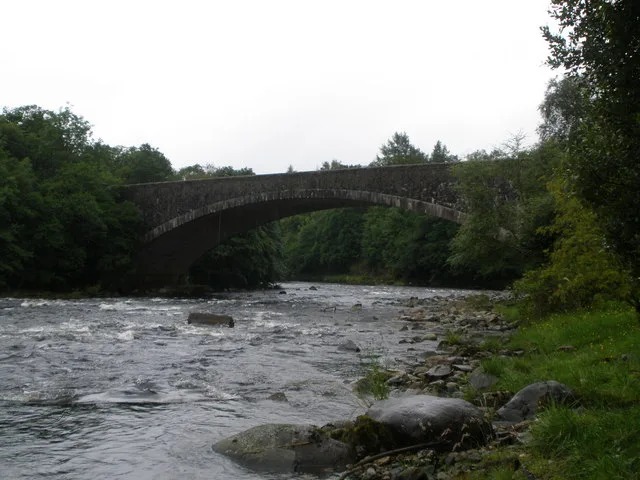
River Awe in Argyll and Bute is a river. River Awe is also known as Awe. Ⓦ.
- Waterway Type
- river
Image
Roads nearby
Lochandhu RoadBonawe Iron Furnace, Brochroy
800 m
Kelly's Quay1000 m
Brochroy Croft1000 m
AldersydeAchlonan
1,1 km
Achnafearna1,2 km
Nant Park1,2 km
Kilchrenan RoadIchrachan
1,2 km
School BraeTaynuilt Post Office, Taynuilt, opp Hotel on A85, Community Food Hub, William Macbean Memorial Bench
1,5 km
Cruachan Terrace1,5 km
Cruachan Cottages1,6 km
Lagan1,6 km
Glen Lonan RoadTaynuilt, Taynuilt, at Hotel on A85
1,7 km
Otter CreekOtter Creek
1,8 km
Kenmore Cottages2,7 km
Body of waters nearby
Surge chamber550 m
Inverawe Loch600 m
Lily Loch700 m
Buildings nearby
Iron Ore Shed750 m
East Charcoal Shed750 m
Furnace. Charging, Casting and Blowing House800 m
West Charcoal Shed800 m
Ticket Office and Shop850 m
Taynuilt Telephone Exchange1,5 km
Achenlochan1,5 km
Bonawe Telephone Exchange2,8 km
Caravan site nearby
Airds Bay CL2,4 km
Loch Awe Holiday Park2,5 km
Community centres nearby
Taynuilt Village Hall1,3 km
Convenience stores nearby
Londis2,6 km
Farm buildings nearby
Ichrachan Farm1,6 km
Golf courses nearby
Taynuilt Golf Club1,3 km
Guest house nearby
The Taynuilt Inn1,6 km
Pavilions nearby
Taynuilt Sports Pavilion1,4 km
Places of worship nearby
Church of the Visitation1,1 km
Muckairn Parish Church1,4 km
Playgrounds nearby
Playpark1,4 km
Railway lines nearby
Awe Viaduct2,0 km
West Highland Line2,3 km
Recreation grounds nearby
Taynuilt Community Sports Hub1,4 km
Residential areas nearby
Bonawe House (Agent's House)650 m
Workers' Housing750 m
Achlonan1,2 km
Port na Mine1,4 km
Rivers nearby
River Nant2,7 km
Sheds nearby
The Taynuilt Book Shed1,5 km
Streams nearby
Allt a'Bhile1,5 km
Woodlands nearby
Inverawe Woods500 m
A' Choille Bheag1,2 km
Other nearby
Taynuilt Substation700 m
| Located in | Argyll and Bute |
|---|---|
| Country | United Kingdom |
| Origin | Loch Awe |
| Mouth | Loch Etive |
 Public transport map Argyll and Bute Legend
 | Railway | |
| Bus | |
| Tram |
 Cycling map Argyll and Bute Legend
 | Cycle path | |
| Cycle lane on road | |
| Cycling on bus lane | |
| Bicycle street | |
| Cyclists allowed | |
| Cyclists allowed, good surface | |
| No cycling | |
| Cobblestones |
| Long-distance cycle route | (depending on scale) | |
| Long-distance cycle route |
 Walking map Argyll and Bute Legend
 | Path |
| Long-distance hiking trail | (depending on scale) | |
| Long-distance hiking trail | ||
| No pedestrians |