
Image
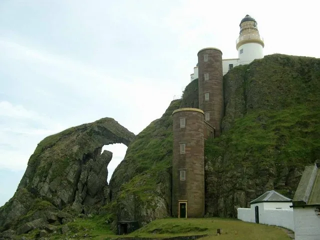
Roads nearby
Teapot LaneMuneroy Stores & Tearoom
4,9 km
Wallace Cottages5,2 km
Saint Columba's WayArgyll Arms
5,2 km
Dunaverty CourtSouthend
5,2 km
The Le'arside RoadAchinhoan, Feòchaig
8,6 km
Nature nearby
Sheep Island2,2 km
Glunimore Island2,6 km
Body of waters nearby
Lag nan Gael1,1 km
Beinn na Beiste1,5 km
Buildings nearby
Boat House1,1 km
Coast Guard Lookout Station3,8 km
The Boathouse4,7 km
Pamastone4,8 km
Blasthill Cottage4,8 km
Echalpurnie4,8 km
Dunaverty Golf Club House5,1 km
Southend Telephone Exchange5,2 km
North Carrine8,0 km
Allt Mor8,4 km
Cemeteries nearby
Old Burial Ground8,7 km
Churches nearby
St. Columba's Church (ruins)5,8 km
Community centres nearby
Dunaverty Hall5,2 km
Doctor's practice nearby
Southend Surgery5,2 km
Farmyards nearby
Brunerican4,5 km
Machribeg5,5 km
Macharioch Farm5,7 km
South Carrine7,0 km
Lephenstrath Farm7,1 km
Dalbhraddan7,3 km
High Cattadale7,6 km
Hotels nearby
Keil Hotel5,6 km
Places of worship nearby
St Ninians Chapel1,0 km
St Columba's Church5,3 km
Residential areas nearby
Southend5,2 km
Garvalt Cottage7,6 km
Rivers nearby
Breackerie Water7,6 km
Ruins nearby
Dunaverty Memorial Burial Enclosure5,2 km
Streams nearby
Corachan Burn5,3 km
The Lone7,0 km
Kerran Water8,0 km
Conieglen Water8,3 km
Allt Mòr Ormsary8,4 km
Strone Water8,9 km
Other nearby
Kintyre Express (Ballycastle to Campbeltown)5,5 km
| Area | 127 ha |
|---|---|
| Located in | Argyll and Bute |
| Country | United Kingdom |
| Body of water | Atlantic Ocean |
| Population | 0 |
| Part of | Inner Hebrides |
 Public transport map Argyll and Bute Legend
| Railway | |
| Bus | |
| Tram |
 Cycling map Argyll and Bute Legend
| Cycle path | |
| Cycle lane on road | |
| Cycling on bus lane | |
| Bicycle street | |
| Cyclists allowed | |
| Cyclists allowed, good surface | |
| No cycling | |
| Cobblestones |
| Long-distance cycle route | (depending on scale) | |
| Long-distance cycle route |
 Walking map Argyll and Bute Legend
| Path |
| Long-distance hiking trail | (depending on scale) | |
| Long-distance hiking trail | ||
| No pedestrians |