
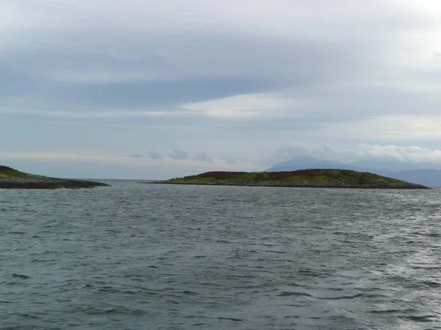
Sgat Beag in Argyll and Bute
Sgat Beag in Argyll and Bute is a Coastline.
- Nature
- coastline
Image
Roads nearby
Glenan Bay Path3,8 km
Glenan Bay Shore Path4,1 km
Glenan Bay Forest PathGlenan
4,2 km
Cowal Terrace5,7 km
Nature nearby
Sgat Mòr1,2 km
Eilean Buidhe3,8 km
Eilean a' Bhuic4,9 km
Beaches nearby
Ostel Bay beach1,3 km
Body of waters nearby
Asgog Loch4,2 km
Kames Reservoir5,1 km
Loch na Machrach Bige6,1 km
Buildings nearby
Stillaig Forest House800 m
Tighnabruaich Telephone Exchange5,6 km
Kyles Athletic Shinty CLub6,1 km
Cafés nearby
The Bothy2,5 km
Wild Kitchen5,5 km
Cemeteries nearby
Lamont Burial Ground3,8 km
Millhouse Cemetery4,4 km
Coffee shops nearby
Argyll Coffee5,5 km
Community centres nearby
Kames Hall5,6 km
Convenience stores nearby
Tide and Thyme5,6 km
Farmyards nearby
Auchgoyle4,1 km
Kildavaig4,7 km
Auchenlochan Farm5,9 km
Fire stations nearby
Tighnabruaich and Kames Community Fire Station5,5 km
Golf courses nearby
Kyles of Bute Golf Club5,2 km
Houses nearby
Old Powdermill Cottage4,5 km
Petre Cottage5,8 km
Kames Cottage5,8 km
Taigh Na Mara5,8 km
Crispie Lodge5,8 km
The Quay5,8 km
Bydand5,8 km
Wharf Cottage5,8 km
Minahey5,9 km
Marinas nearby
Portavadie3,1 km
Nature reserves nearby
Glenan Wood community-owned atlantic rainforest4,9 km
Places of worship nearby
Kilbride Church2,5 km
Kyles Parish Church5,6 km
Sports pitches nearby
Kyles Athletic6,0 km
Streams nearby
Ostel Burn1,3 km
Alt Thomais2,6 km
Alltan nam Breac4,8 km
Allt a' Chuilinn5,1 km
Drenvoire5,2 km
Allt Airigh nan Cuilean5,2 km
Kames Burn5,7 km
Craignafeoch Burn6,2 km
Transport buildings nearby
Portavadie to Tarbert Ferry Waiting Room3,6 km
| Located in | Argyll and Bute |
|---|---|
| Country | United Kingdom |
| Body of water | Atlantic Ocean |
| Part of | Sgat Mòr and Sgat Beag |
 Public transport map Argyll and Bute Legend
| Railway | |
| Bus | |
| Tram |
 Cycling map Argyll and Bute Legend
| Cycle path | |
| Cycle lane on road | |
| Cycling on bus lane | |
| Bicycle street | |
| Cyclists allowed | |
| Cyclists allowed, good surface | |
| No cycling | |
| Cobblestones |
| Long-distance cycle route | (depending on scale) | |
| Long-distance cycle route |
 Walking map Argyll and Bute Legend
| Path |
| Long-distance hiking trail | (depending on scale) | |
| Long-distance hiking trail | ||
| No pedestrians |