
Pentland Hills in Edinburgh
Pentland Hills in City of Edinburgh is a mountain range. Pentland Hills is also known as Pentlands. Ⓦ.
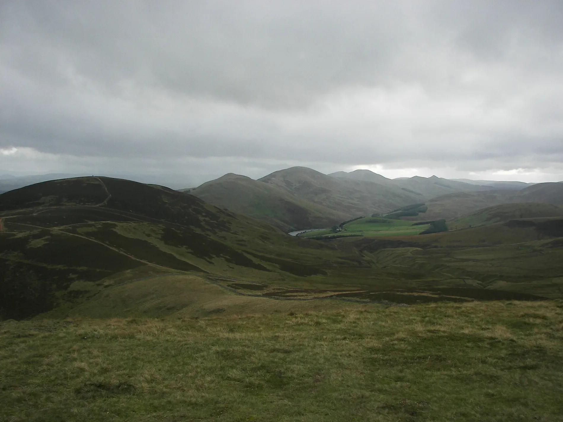
- Alternative Name
- Pentlands
- Nature
- mountain range
Roads nearby
Biggar RoadLothianburn Golf Club, Lothianburn Snowsports Centre, Swanston Drive, Swanston Avenue, AK Express Convenience Store
250 m
City of Edinburgh BypassLothianburn Junction, Dreghorn Junction, Hermiston Gait
500 m
Winton Gardens600 m
Seafield Moor RoadHillend, Damhead, Old Pentland Road, Bush Road End, Ploverhall Cottages
650 m
Swanston DriveCraigdon Mountain Sports, Cobbs, Sainsbury's Local
650 m
Winton Park650 m
Winton Drive650 m
Winton TerraceWinton
750 m
Swanston Grove750 m
Winton Loan800 m
Caiyside850 m
Winton Grove850 m
Pentland RoadNew Pentland Road, Pentland Road, Aldi, Old Pentland
900 m
Frogston Terrace900 m
Swanston Avenue950 m
Margaret Rose Loan950 m
Swanston View950 m
Frogston Gardens1000 m
Margaret Rose Avenue1000 m
Frogston Avenue1000 m
Margaret Rose Drive1000 m
Swanston Gardens1000 m
Frogston GroveFrogston
1000 m
Swanston Terrace1000 m
Margaret Rose Walk1000 m
Oxgangs RoadSoul Retreat, New Swanston, Swanston Road, Caiystane View, Fairmile Avenue, Fairmilehead Crossroads, Hunter's Tryst, Fairmile House Nursery, Fairmilehead Dental Practice
1,0 km
Buckstone TerraceFairmilehead, Fairmilehead Crossroads, Caiystane Crescent, Buckstone Gardens, Buckstone Road, BuonGusto, Currency King
1,0 km
Queen Margaret Close1,1 km
Margaret Rose Crescent1,1 km
Margaret Rose Way1,1 km
Frogston Road West1,2 km
King Malcolm Close1,2 km
Amenities nearby
Morton Mains750 m
Buildings nearby
The Clubhouse100 m
The Pentland Outdoor Centre550 m
Belvedere750 m
Convenience stores nearby
Londis200 m
Places of worship nearby
Fairmilehead Parish Church1,0 km
Pubs nearby
The Steading300 m
Residential areas nearby
Calderstones400 m
Hillend House700 m
Kintallon800 m
Three Wheels950 m
Princess Gate1000 m
Sports centres nearby
Midlothian Snowsports Centre850 m
Sports pitches nearby
Tubing750 m
Streams nearby
Lothian Burn400 m
Swanston Burn500 m
Woodlands nearby
Erraid Wood950 m
| Elevation | 579 m |
|---|---|
| Protected area | Pentland Hills Regional Park |
| Located in | West Lothian, Scottish Borders |
| Country | United Kingdom |
| Highest point | Scald Law |
| Website | http://www.pentlandhills.org/ |
| Part of | Scottish Lowlands |
 Public transport map City of Edinburgh Legend
| Railway | |
| Bus | |
| Tram |
 Cycling map City of Edinburgh Legend
| Cycle path | |
| Cycle lane on road | |
| Cycling on bus lane | |
| Bicycle street | |
| Cyclists allowed | |
| Cyclists allowed, good surface | |
| No cycling | |
| Cobblestones |
| Long-distance cycle route | (depending on scale) | |
| Long-distance cycle route |
 Walking map City of Edinburgh Legend
| Path |
| Long-distance hiking trail | (depending on scale) | |
| Long-distance hiking trail | ||
| No pedestrians |