
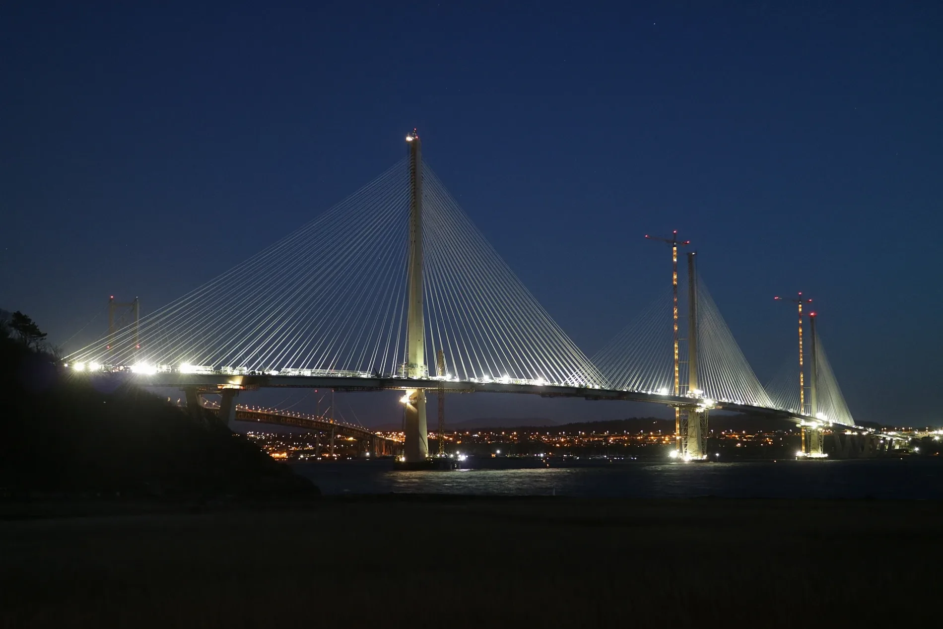
Queensferry Crossing in Edinburgh
Queensferry Crossing in City of Edinburgh is a two-lane, asphalted, lit motorway. It runs in a north-south direction and ends in a cul-de-sac. Queensferry Crossing is also known as Forth replacement crossing. This road is part of the long-distance roads M90, E 15 and Fife Intelligent Transport System. Queensferry Crossing also exists in North Queensferry. Ⓦ.
- Road Type
- motorway
- Lanes
- 2
- Speed Limit
- 70 mph
- Route
- north-south
Image
Roads nearby
Linn Mill250 m
Clufflat Brae300 m
Butlaw300 m
Clufflat300 m
Springfield Lea350 m
Sentry Knowe Row350 m
Springfield Place400 m
Springfield Crescent400 m
Sentry Knowe Place450 m
Springfield Terrace450 m
Friars Croft Road450 m
Springfield RoadSpringfield
500 m
Echline Green550 m
Forth Place600 m
Society Road600 m
Springfield View650 m
Echline Gardens650 m
Echline Drive700 m
Bo'ness RoadEchline Corner, Springfield Crescent, Springfield View, Walker Drive
700 m
Queensferry Junction700 m
Echline700 m
Walker Drive700 m
Builyeon RoadLong Crook, BP, Echline Park
750 m
Echline PlaceEchline
750 m
Echline Park750 m
Echline Rigg800 m
Shore RoadDown the Hatch
800 m
Watanabe Street800 m
Lang Rigg800 m
Kettleslaw Cruik850 m
Echline Terrace850 m
Watanabe Road900 m
Watanabe Cruik950 m
Headrig Road950 m
Buildings nearby
Springfield Cres 49A400 m
Abandoned railways nearby
South Queensferry Branch450 m
Buildings nearby
Neptune Marine Services350 m
Port Edgar Boat Station750 m
Port Edgar Yacht Club750 m
Watersports Centre800 m
Constructions nearby
Queensferry Heights250 m
Dog parks nearby
Run Free Secure Dog Fields - South Queensferry1,1 km
Marinas nearby
Port Edgar800 m
Parks nearby
King George V Park700 m
Residential buildings nearby
Inchgarvie House100 m
The Fisheries300 m
Echline Farmhouse650 m
Streams nearby
Linn Mill Burn150 m
Woodlands nearby
The Vat Run450 m
| Opening | 2017 |
|---|---|
| Material | steel |
| Height | 207 m |
| Length | 2638 m |
| Located in | Fife, City of Edinburgh |
| Country | United Kingdom |
| Crosses | Firth of Forth |
| Carries thoroughfare | M90 motorway |
| Website | https://www.theforthbridges.org/ |
| Official name | Queensferry Crossing |
| Significant event | construction, opening |
| Location | Edinburgh |
 Public transport map City of Edinburgh Legend
| Railway | |
| Bus | |
| Tram |
 Cycling map City of Edinburgh Legend
| Cycle path | |
| Cycle lane on road | |
| Cycling on bus lane | |
| Bicycle street | |
| Cyclists allowed | |
| Cyclists allowed, good surface | |
| No cycling | |
| Cobblestones |
| Long-distance cycle route | (depending on scale) | |
| Long-distance cycle route |
 Walking map City of Edinburgh Legend
| Path |
| Long-distance hiking trail | (depending on scale) | |
| Long-distance hiking trail | ||
| No pedestrians |