
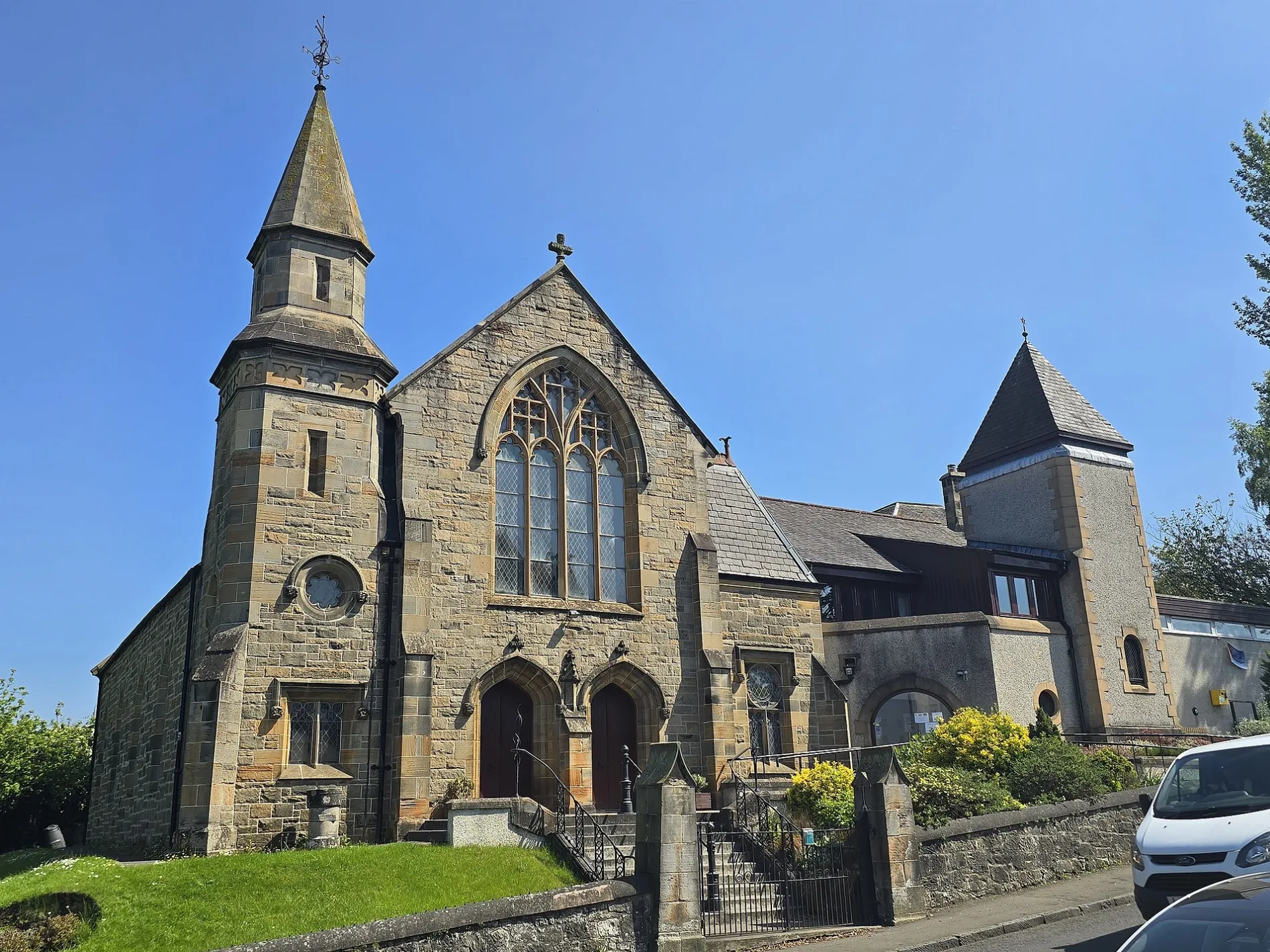
Queensferry Parish Church in Edinburgh
Queensferry Parish Church in City of Edinburgh is a church. It is near Hugh Russell Place and is also known as Queensferry Parish Church, The Loan, South Queensferry. The church is a listed building.
- Amenity
- place of worship
- Building Type
- church
Image
Roads nearby
Loch Road100 m
School Lane100 m
The LoanThe Loan, Bamboo
150 m
Hawthorn Bank150 m
Brewery CloseRavenous Beastie, Rooms at Ravenous Beastie
150 m
Loch Place150 m
Viewforth Road250 m
Plewlands Place250 m
Henry Ross Place250 m
Morison GardensBarnardo's, Westport Veterinary Clinic, Chilli Waves, South Queensferry Post Office
250 m
Plewlandcroft250 m
Bell StaneQueen's Spice, Graziano's
250 m
Viewforth Place300 m
Harbour LaneBellstane Dental Care, Harbour Lane Studio, The Harbour
300 m
Covenanter's Lane300 m
Canmore Street300 m
Rose LaneThe Binks
350 m
Hugh Russell Place350 m
Villa Road350 m
Springwell Terrace350 m
Carmelite Road350 m
Priory Grove400 m
Kirkliston RoadLovers Lane, Viewforth Place
400 m
Shore RoadDown the Hatch
450 m
Hope Street450 m
Inchcolm Terrace450 m
Ferrymuir Lane500 m
Stewart Terrace500 m
Ferrymuir GaitShell, Buy-Time Jetwash
550 m
Ferrymuir RoadFerrymuir Retail Park
600 m
Echline Roundabout650 m
Buildings nearby
Palmerston House150 m
South Queensferry Telephone Exchange400 m
Car repair shops nearby
East Coast Tyres200 m
Cemeteries nearby
Queensferry Cemetery400 m
Convenience stores nearby
Shell Select600 m
Doctor's practice nearby
South Queensferry Medical Practice250 m
Guest house nearby
The Queens200 m
Hairdresser's nearby
Ferry Barbers250 m
Libraries nearby
South Queensferry Library400 m
Parks nearby
Inchcolm Park400 m
Pharmacies nearby
Queensferry Pharmacy200 m
Places of worship nearby
St Margaret's RC Church50 m
Police stations nearby
South Queensferry300 m
Razed railways nearby
South Queensferry Branch250 m
Retail areas nearby
Ferrymuir600 m
Supermarkets nearby
Scotmid150 m
Tesco600 m
Town halls nearby
Queensferry Tolbooth250 m
| Heritage designation | category C listed building |
|---|---|
| Located in | City of Edinburgh, Edinburgh |
| Country | United Kingdom |
| Part of | Presbytery of Linlithgow |
 Public transport map City of Edinburgh Legend
| Railway | |
| Bus | |
| Tram |
 Cycling map City of Edinburgh Legend
| Cycle path | |
| Cycle lane on road | |
| Cycling on bus lane | |
| Bicycle street | |
| Cyclists allowed | |
| Cyclists allowed, good surface | |
| No cycling | |
| Cobblestones |
| Long-distance cycle route | (depending on scale) | |
| Long-distance cycle route |
 Walking map City of Edinburgh Legend
| Path |
| Long-distance hiking trail | (depending on scale) | |
| Long-distance hiking trail | ||
| No pedestrians |