
Kingencleugh Castle in East Ayrshire
Kingencleugh Castle in East Ayrshire is a castle (fortress). Kingencleugh Castle is near Haugh Road. Ⓦ.
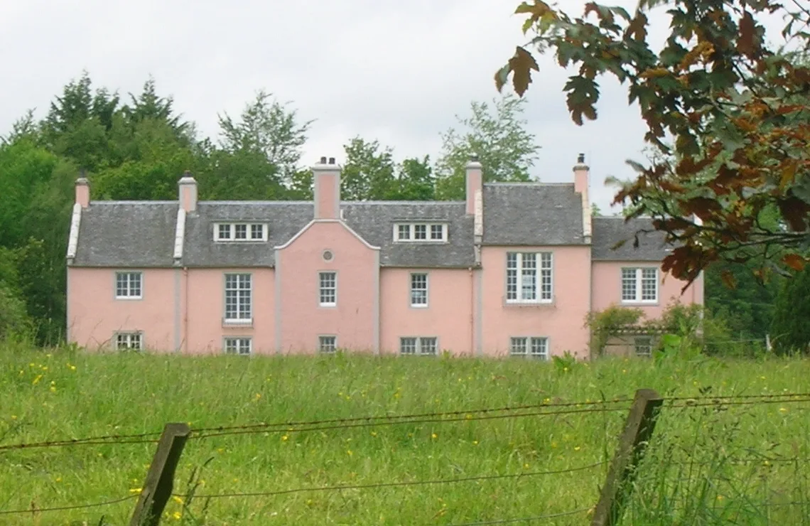
- Building Type
- building
Bus stops
Carpet shops
Pharmacy
Convenience stores
Benches
Petrol stations
Ice cream parlours
Car repair shops
Fast food restaurants
Pubs
Viewpoint
Hairdressers
Butcher's
Cafés
Roads nearby
River Ayr Way600 m
Haugh Road700 m
Grassmillees Way1,0 km
Station Lane1,1 km
Station RoadMauchline Junction, Mauchline Junction Sidings, Dunlop
1,1 km
Burnsland Crescent1,1 km
Southfield Avenue1,1 km
Gregory Street1,1 km
Fernlea Avenue1,2 km
Pollocks Way1,2 km
Catrine Road1,2 km
Donaldson Crescent1,2 km
Anderson Avenue1,2 km
Hamilton Avenue1,3 km
Park View1,3 km
Lochlea Avenue1,3 km
Rankine Drive1,4 km
Beechgrove Road1,4 km
Glebe Avenue1,4 km
Cumnock RoadCowgate, Catrine Road
1,4 km
West Park Avenue1,4 km
Auld Avenue1,4 km
Ballochmyle Avenue1,4 km
Welton Road1,4 km
Clelland Park1,5 km
Grove Park1,5 km
Mary Morrison Drive1,5 km
Mossgiel Avenue1,5 km
Tanfield1,5 km
Curling Stone Place1,5 km
Cowgate1,6 km
Railways nearby
Mauchline1,2 km
Buildings nearby
Kingencleugh House250 m
Ballochmyle Viaduct (1846 - 1848)700 m
Mauchline Telephone Exchange1,3 km
Mauchline Bowling Club1,3 km
Nae Sae New1,6 km
Farmyards nearby
Kingencleugh400 m
Braehead1,2 km
Syke1,3 km
Industrial areas nearby
Station Road Industrial Estate900 m
Meadows nearby
Braehead Holm1,1 km
Railway lines nearby
Mauchline Junction Sidings1,1 km
Glasgow South Western Line1,2 km
Rivers nearby
River Ayr350 m
Streams nearby
Kingen Cleugh Burn50 m
Supermarkets nearby
Co-op Food1,6 km
Woodlands nearby
Nursery Plantation1,1 km
Bostonbank Plantation1,1 km
| Inception | 1620 |
|---|---|
| Heritage designation | scheduled monument, category B listed building |
| Located in | East Ayrshire |
| Country | United Kingdom |
Public transport map East Ayrshire Legend
| Railway | |
| Bus | |
| Tram |
Cycling map East Ayrshire Legend
| Cycle path | |
| Cycle lane on road | |
| Cycling on bus lane | |
| Bicycle street | |
| Cyclists allowed | |
| Cyclists allowed, good surface | |
| No cycling | |
| Cobblestones |
| Long-distance cycle route | (depending on scale) | |
| Long-distance cycle route |
Walking map East Ayrshire Legend
| Path |
| Long-distance hiking trail | (depending on scale) | |
| Long-distance hiking trail | ||
| No pedestrians |