
Cresham Drive in East Dunbartonshire
Cresham Drive in East Dunbartonshire is a residential street. It runs in a southeast-northwest direction and ends at Civic Way, while the other end is a cul-de-sac.
- Road Type
- residential street
- Route
- southeast-northwest
Image
Fast food restaurants
Convenience stores
Beauty salons
Pubs
Frozen food shops
Bus stops
Hairdressers
Restaurants
Off-licences
Cafés
Dentist
Roads nearby
Marina Way100 m
Lenzie RoadMonkland Avenue (before), Eastergreens Avenue (opp), Civic Way (After)
100 m
Civic Way100 m
Eastergreens Avenue150 m
Tom Johnston Place150 m
The Loaning150 m
Gallowhill Grove200 m
Muirhead Street200 m
Campsie Crescent250 m
Gallowhill RoadMorning, noon and night, Rainbow House, Gallowhill Road / Marguerite Avenue, Gallowhill Road / Elm Avenue
250 m
Thistle Street250 m
Donaldson Crescent250 m
TownheadDonaldson Place (after), Cyclewize, Farmfoods, Freeland Place (opp), The Greenhouse Cafe, Ella Por La Belleza, Ab Fab, Piccollo, Liquor Direct, Woks Cuisine, The Refinery Barbers, Lion and Star, Hazel Hiram BDS, House of Flavours, Jazz Cut, Freeland Place (after)
300 m
Donaldson Place300 m
Greens Avenue300 m
Strathkelvin Place300 m
Donaldson Street300 m
Southbank Drive300 m
Mcbride Avenue350 m
Rose Street350 m
Mcarthur Park350 m
Scotsblair Avenue350 m
Mccash Place350 m
Gowanbrae400 m
Greens Crescent400 m
Marguerite Gardens400 m
Marguerite Avenue450 m
Marguerite Grove450 m
Parkburn Avenue450 m
Forth and Clyde Canal TowpathAuchinstarry, Deil's Elbow, Barleybank, The Stables (opp)
450 m
Marguerite Drive450 m
Alexandra StreetNonna's Kitchen
500 m
Northbank Avenue500 m
Northbank Road600 m
Park Avenue600 m
Amenities nearby
Lairdsland Early Years Centre350 m
Bicycle shops nearby
Marina Cycles350 m
Buildings nearby
Kirkintilloch Telephone Exchange200 m
East Dunbartonshire Council Headquarters350 m
Commercial areas nearby
Southbank Business Park300 m
Convenience stores nearby
Shopsmart300 m
Ferry terminals nearby
Seagull Trust Cruises400 m
Marinas nearby
Southbank Marina400 m
Parks nearby
Woodhead Park150 m
Places of worship nearby
St David's Memorial Park Parish Church500 m
Police stations nearby
Kirkintilloch Police Station350 m
Razed railways nearby
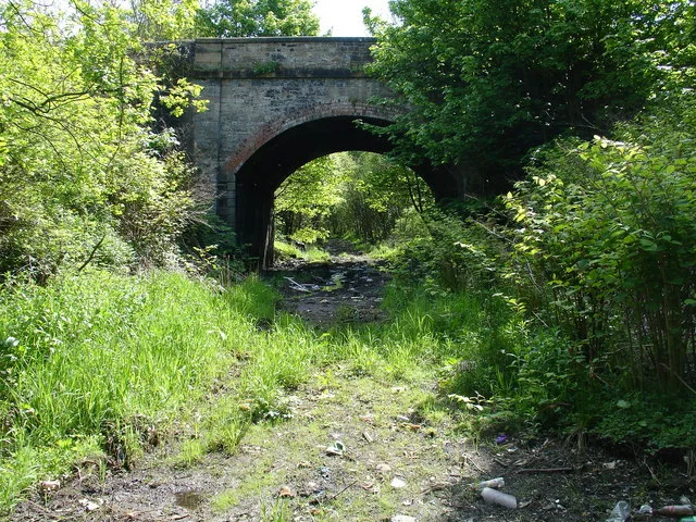
Monkland and Kirkintilloch Railway50 m
Rivers nearby
Park Burn550 m
Supermarkets nearby
Sainsbury's400 m
 Public transport map East Dunbartonshire Legend
| Railway | |
| Bus | |
| Tram |
 Cycling map East Dunbartonshire Legend
| Cycle path | |
| Cycle lane on road | |
| Cycling on bus lane | |
| Bicycle street | |
| Cyclists allowed | |
| Cyclists allowed, good surface | |
| No cycling | |
| Cobblestones |
| Long-distance cycle route | (depending on scale) | |
| Long-distance cycle route |
 Walking map East Dunbartonshire Legend
| Path |
| Long-distance hiking trail | (depending on scale) | |
| Long-distance hiking trail | ||
| No pedestrians |