
Dun Park in East Dunbartonshire
Dun Park in East Dunbartonshire is a lit residential street. It crosses Redbrae Road and ends in a cul-de-sac.
- Road Type
- residential street
- Speed Limit
- 30 mph
Image
Restaurants
Beauty salons
Pubs
Frozen food shops
Bus stops
Hairdressers
Fast food restaurants
Off-licences
Cafés
Dentist
Roads nearby
Waverley Crescent200 m
Redbrae RoadMeiklehill Road (after), Meiklehill Road (opp), Waverley Park (opp), Waverley Park, Waverley Crescent (after), Newdyke Road (after), Ross Avenue, Waterside Road, Kenilworth Road, Dun Park (after)
250 m
Lithgow Avenue300 m
Holmfield300 m
Abbotsford Drive300 m
Waterside RoadGulf, Lammermoor Road, Bankhead Road, Gartconner Avenue, Rotary Way, Kirkintilloch, Kirkintilloch Road before Easterton, Merkland Drive, Market Road
300 m
Bothlyn Avenue350 m
Waverley Park Roundabout400 m
Lily Gardens400 m
Kirksyde Avenue400 m
Coralmount Gardens450 m
Kenilworth Road450 m
Blackdyke Road450 m
McFarlane Place450 m
Newdyke RoadKenilworth Road (opp), Kenilworth Road (before), Eildon Road (before), Eildon Road (opp), Highfield Road (after), Woodstock Avenue (before)
450 m
Waverley Park450 m
St Columba Drive450 m
Newdyke Avenue450 m
Thomson Avenue500 m
Scott Wynd500 m
Waterloo Close500 m
Border Way500 m
Hardmuir Road550 m
Hardmuir Gardens550 m
Friar's Croft550 m
Ross Avenue550 m
Rosebank Avenue600 m
Ivanhoe Drive600 m
Meiklehill Road600 m
Highfield Crescent600 m
Highfield Road600 m
Eildon Road600 m
Highfield Grove650 m
Fernlea Road650 m
Cleddans Road650 m
Marmion Drive700 m
Lammermoor Gardens700 m
Meiklehill Court700 m
Highfield Avenue700 m
Highfield Court700 m
Mitchell Gardens750 m
Lammermoor Road750 m
Daniel Mclaughlin Place750 m
Dryburgh Place750 m
Conway Court750 m
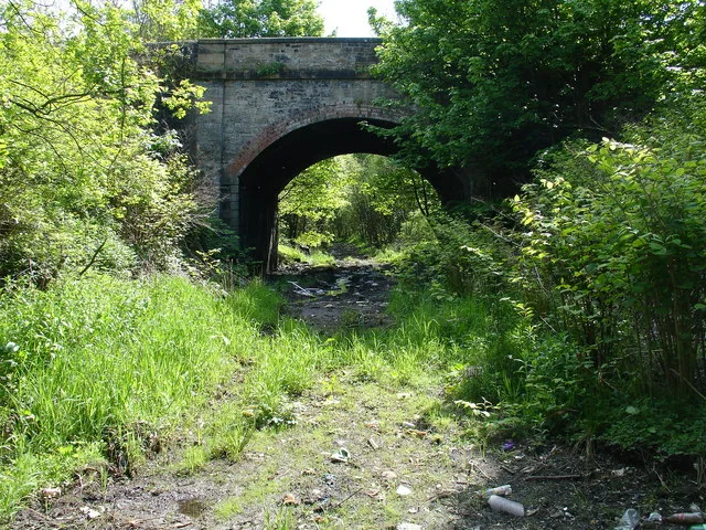
Abandoned railways nearby
Meiklehill Colliery250 m
Places of worship nearby
St Columba's Parish Church550 m
Pubs nearby
The Redbrae350 m
Rivers nearby
Luggie Water300 m
 Public transport map East Dunbartonshire Legend
| Railway | |
| Bus | |
| Tram |
 Cycling map East Dunbartonshire Legend
| Cycle path | |
| Cycle lane on road | |
| Cycling on bus lane | |
| Bicycle street | |
| Cyclists allowed | |
| Cyclists allowed, good surface | |
| No cycling | |
| Cobblestones |
| Long-distance cycle route | (depending on scale) | |
| Long-distance cycle route |
 Walking map East Dunbartonshire Legend
| Path |
| Long-distance hiking trail | (depending on scale) | |
| Long-distance hiking trail | ||
| No pedestrians |