
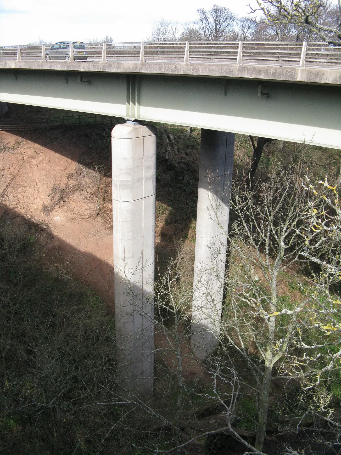
Dunglass Bridge in East Lothian
Dunglass Bridge in East Lothian is a two-lane, asphalted, unlit expressway. The road has no sidewalks. It runs in a southeast-northwest direction and ends in a cul-de-sac. This road is part of the long-distance roads E 15 and A1.
- Road Type
- expressway
- Lanes
- 2
- Speed Limit
- 60 mph
- Operator
- Transport Scotland
- Route
- southeast-northwest
Image
Chalet
Hotels
Fountains
Bus stops
- bus lines M20
Tourist information offices
Artwork
Roads nearby
Dunglass Old Bridge200 m
Bilsdean BridgeBilsdean
850 m
Lady Hall Road1000 m
Toll View1,0 km
Callander Place1,1 km
The SquareEarlston Pharmacy, Kelso, Bull Ring, Greenlaw, Greenlaw Pharmacy, Community Notices, The Cream Chimneys, Commonside, Bowden, Cockburnspath
1,2 km
The CausewayMain Road
1,3 km
Hoprig RoadSouthern Upland Way
1,3 km
Crofts Road1,3 km
Croftsacre1,3 km
Hoprig Park1,4 km
Nature nearby
Hollow Rock1,7 km
Bare rocks nearby
Red Rock2,3 km
Buildings nearby
East Lodge200 m
Dunglass Collegiate Church550 m
Farm Lodge800 m
Gardener's House800 m
West Lodge900 m
Old Gardener's House900 m
Cockburnspath Telephone Exchange1,2 km
Car repair shops nearby
Cockburnspath Garage1,2 km
Cemeteries nearby
Cockburnspath Cemetery950 m
Cliffs nearby
Saltheugh Rock1,3 km
Community centres nearby
Church Hall1,3 km
Convenience stores nearby
Cockburnspath Community Shop1,1 km
Farmyards nearby
Birnieknowes1,6 km
Chapelhill1,7 km
Linhead1,9 km
Lawfield1,9 km
Neuk Farm2,1 km
Linkshead2,2 km
Forests nearby
Killflat Wood650 m
Cat's Hole Plantation1000 m
Gallows Law Plantation1,7 km
Kinegar Strip2,0 km
Gardens nearby
Walled Garden850 m
Houses nearby
Merse Lodge250 m
Dovecourt Hall1,5 km
Places of worship nearby
Cockburnspath Parish Church1,2 km
Railway lines nearby
East Coast Main Line2,0 km
Residential areas nearby
Castle Dykes350 m
Closehead1,8 km
Old Linhead2,3 km
Streams nearby
Dunglass Burn950 m
Cati Cleugh1,6 km
Bilsdean Burn1,6 km
Burnspath Burn2,3 km
Tower Burn2,4 km
Woodlands nearby
Eildbalks Wood1000 m
| Inception | 1994 |
|---|---|
| Located in | East Lothian, Scottish Borders, Cockburnspath, Oldhamstocks |
| Country | United Kingdom |
| Crosses | Dunglass Burn |
| Carries thoroughfare | A1 road |
 Public transport map East Lothian Legend
| Railway | |
| Bus | |
| Tram |
 Cycling map East Lothian Legend
| Cycle path | |
| Cycle lane on road | |
| Cycling on bus lane | |
| Bicycle street | |
| Cyclists allowed | |
| Cyclists allowed, good surface | |
| No cycling | |
| Cobblestones |
| Long-distance cycle route | (depending on scale) | |
| Long-distance cycle route |
 Walking map East Lothian Legend
| Path |
| Long-distance hiking trail | (depending on scale) | |
| Long-distance hiking trail | ||
| No pedestrians |