
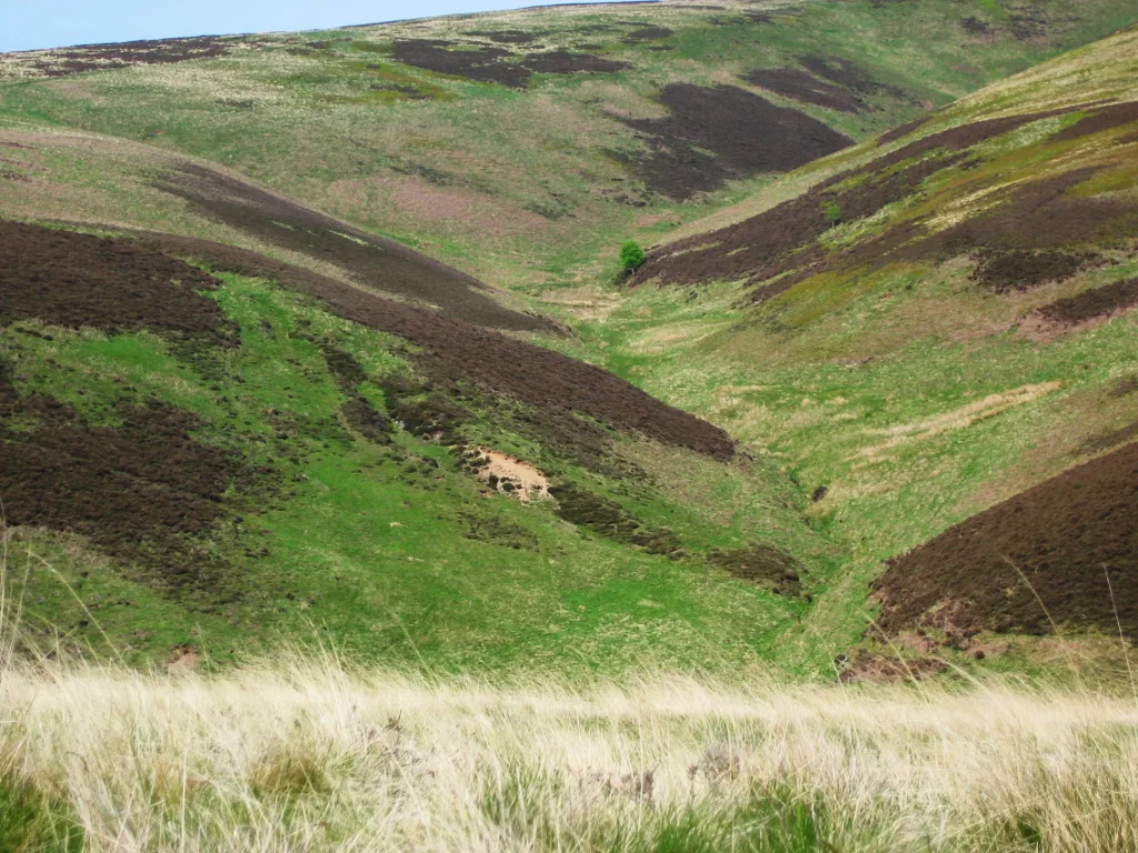
Lammermuir Hills in East Lothian
Lammermuir Hills in East Lothian is a mountain range. Lammermuir Hills is also known as Lammermuirs. Ⓦ.
- Alternative Name
- Lammermuirs
- Nature
- mountain range
Image
Cafés
Training centres
Bus stops
Roads nearby
Path blocked1,2 km
Body of waters nearby
Danskine Loch2,3 km
Buildings nearby
Quarryford House450 m
Castle Mains1000 m
Hopes House1,9 km
The Lodge2,8 km
Farmyards nearby
Newlands950 m
Longyester1,9 km
Sheriffside2,0 km
East Hopes2,0 km
Yester Mains2,8 km
Forests nearby
Townhead Wood2,7 km
Golf courses nearby
Castle Park Golf Course2,1 km
Grass nearby
Black Castle1,8 km
Green Castle1,9 km
Residential areas nearby
Danskine Lodge1,6 km
Sunnyside2,4 km
Cross Hill2,9 km
Residential buildings nearby
Yester House2,4 km
Rivers nearby
Danskine Burn1,5 km
Gifford Water2,8 km
Streams nearby
Hopes Water900 m
Newland Burn1,1 km
Newlands Burn1,1 km
Brookside Burn1,5 km
Gamueslston Burn2,1 km
Woodlands nearby
Newlands Strip200 m
Park Strips950 m
Walden Lea1,3 km
Shank Lea Wood1,4 km
Hattie Braes1,6 km
Black Castle Wood1,6 km
Little Todlaw Wood1,7 km
Thicket Wood1,7 km
Castle Wood1,7 km
Beech Wood1,8 km
Smiddy Wood1,9 km
Black Wood2,0 km
Stell Wood2,1 km
Knockhill Wood2,1 km
Kailrig Wood2,3 km
Saugh Wood2,4 km
Greenlaw Clump2,4 km
Sunnyside Strip2,4 km
Foxes Wood2,6 km
Fawn's Wood2,6 km
Wester Wood2,7 km
Bishwanton Wood2,7 km
Duncanlaw Strip2,9 km
| Located in | Scottish Borders, East Lothian |
|---|---|
| Country | United Kingdom |
| Described by source | The Nuttall Encyclopædia, Ordnance Survey name book |
 Public transport map East Lothian Legend
| Railway | |
| Bus | |
| Tram |
 Cycling map East Lothian Legend
| Cycle path | |
| Cycle lane on road | |
| Cycling on bus lane | |
| Bicycle street | |
| Cyclists allowed | |
| Cyclists allowed, good surface | |
| No cycling | |
| Cobblestones |
| Long-distance cycle route | (depending on scale) | |
| Long-distance cycle route |
 Walking map East Lothian Legend
| Path |
| Long-distance hiking trail | (depending on scale) | |
| Long-distance hiking trail | ||
| No pedestrians |