
Whittinghame House in East Lothian
Whittinghame House in East Lothian is a house (listed building). Whittinghame House is near Mill Lane. Ⓦ.
- Building Type
- house
Image
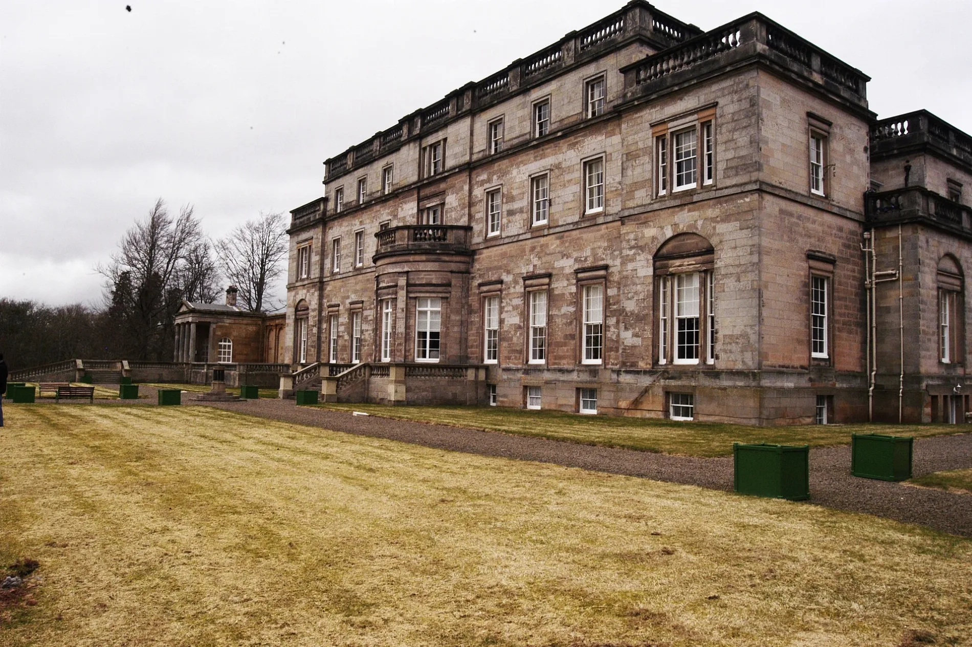
Holiday apartment
Artwork
Tourist information offices
Car repair shops
Chalet
Roads nearby
Mill Lane1,5 km
Stenton Loanstenton gallery, the old school house, The Smiddy
1,5 km
Village Green RoadStenton, Monreith, Aldersyde, The Gables
1,7 km
The Crofts1,9 km
Field margin link path1,9 km
Buildings nearby
Manse400 m
Lady Eleanor's Cottage550 m
Allison Cargill House550 m
North Lodge650 m
Clint950 m
Home Farm950 m
Blue Row950 m
Ruchlaw House1,4 km
East Lodge1,6 km
Daw's Well1,6 km
Luggate Steading1,6 km
Stenton Telephone Exchange1,7 km
Grangemuir1,8 km
East Grangemuir1,8 km
Community centres nearby
Stenton Village Hall1,6 km
Farmyards nearby
Whittinghame Mains1,0 km
Yarrow1,1 km
Ruchlaw West Mains1,2 km
Cockielaw1,3 km
Ruchlaw Mains1,4 km
Papple1,7 km
Newmains2,0 km
Forests nearby
Blinkbonnie Plantation750 m
Houses nearby
Modwena1000 m
Luggate House1,6 km
Luggate Lodge1,6 km
Places of worship nearby
Whittingehame Parish Church400 m
Stenton Parish Church1,8 km
Residential buildings nearby
Woodend1,6 km
Rivers nearby
Whittingehame Water500 m
Papana Water1,9 km
Sports pitches nearby
Stenton Bowling Club1,7 km
Streams nearby
Luggate Burn1,1 km
Sauchet Water1,4 km
Village greens nearby
Village Green1,7 km
Woodlands nearby
Southbank Woods200 m
Northbank Woods550 m
Scraymoor Plantation950 m
Yarrowbank Plantation1000 m
Mountlehoy Wood1,0 km
Clartyside Plantation1,2 km
Oakbank Wood1,8 km
Birks Plantation1,9 km
Dunstane Plantation2,1 km
| Located in | East Lothian, Whittingehame |
|---|---|
| Country | United Kingdom |
 Public transport map East Lothian Legend
| Railway | |
| Bus | |
| Tram |
 Cycling map East Lothian Legend
| Cycle path | |
| Cycle lane on road | |
| Cycling on bus lane | |
| Bicycle street | |
| Cyclists allowed | |
| Cyclists allowed, good surface | |
| No cycling | |
| Cobblestones |
| Long-distance cycle route | (depending on scale) | |
| Long-distance cycle route |
 Walking map East Lothian Legend
| Path |
| Long-distance hiking trail | (depending on scale) | |
| Long-distance hiking trail | ||
| No pedestrians |