
Image
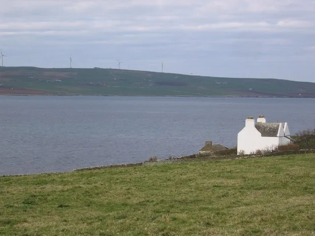
Roads nearby
Hullion Road1,5 km
Body of waters nearby
Loch of Vastray1,7 km
Peerie Water2,8 km
Lock of Knitchen2,8 km
Muckle Water3,1 km
Buildings nearby
Maybank750 m
Fish Farm850 m
Rousay Telephone Exchange850 m
Nearhouse1,3 km
St Tropez1,5 km
The Bakehouse1,5 km
Newhouse1,6 km
Yoreville1,6 km
Banks Cottage1,9 km
Upper Cottage2,1 km
Lower Cottage2,1 km
Briarlea2,2 km
Trumland House2,4 km
Farmyards nearby
Banks1,8 km
Aikerness2,2 km
Trumland Farm2,4 km
Nisthouse2,6 km
Arwick2,7 km
Fire stations nearby
Highlands & Islands Fire & Rescue Service850 m
Hotels nearby
Taversoe Hotel650 m
Houses nearby
Tratland500 m
Varmady600 m
Hunclett650 m
Langstane750 m
Hullion1,5 km
Skylark1,5 km
Avlls1,5 km
Sjo Brekka1,6 km
Quoucot1,6 km
Giord1,7 km
Cairn House1,8 km
Viera Lodge1,9 km
Corse2,2 km
Terramagus2,4 km
Gowsterie2,5 km
Hallsview2,6 km
Westness House3,1 km
Bridge End aka Brigsend3,2 km
Ruins nearby
Castlehill (ruins)1000 m
Upper Crusday aka Upper Cruesday (ruins)1,0 km
Whitehall (ruins)1,4 km
Irso (ruins)1,5 km
Westness Cottage3,1 km
Other nearby
Tingwall - Rousay800 m
| Located in | Orkney Islands |
|---|---|
| Country | United Kingdom |
 Public transport map Alba / Scotland Legend
| Railway | |
| Bus | |
| Tram |
 Cycling map Alba / Scotland Legend
| Cycle path | |
| Cycle lane on road | |
| Cycling on bus lane | |
| Bicycle street | |
| Cyclists allowed | |
| Cyclists allowed, good surface | |
| No cycling | |
| Cobblestones |
| Long-distance cycle route | (depending on scale) | |
| Long-distance cycle route |
 Walking map Alba / Scotland Legend
| Path |
| Long-distance hiking trail | (depending on scale) | |
| Long-distance hiking trail | ||
| No pedestrians |