
Balbirnie Viaduct in Fife
Balbirnie Viaduct in Fife is an abandoned railway. It runs in a northeast-southwest direction and ends in a cul-de-sac.
- Road Type
- cycle path
- Route
- northeast-southwest
Image
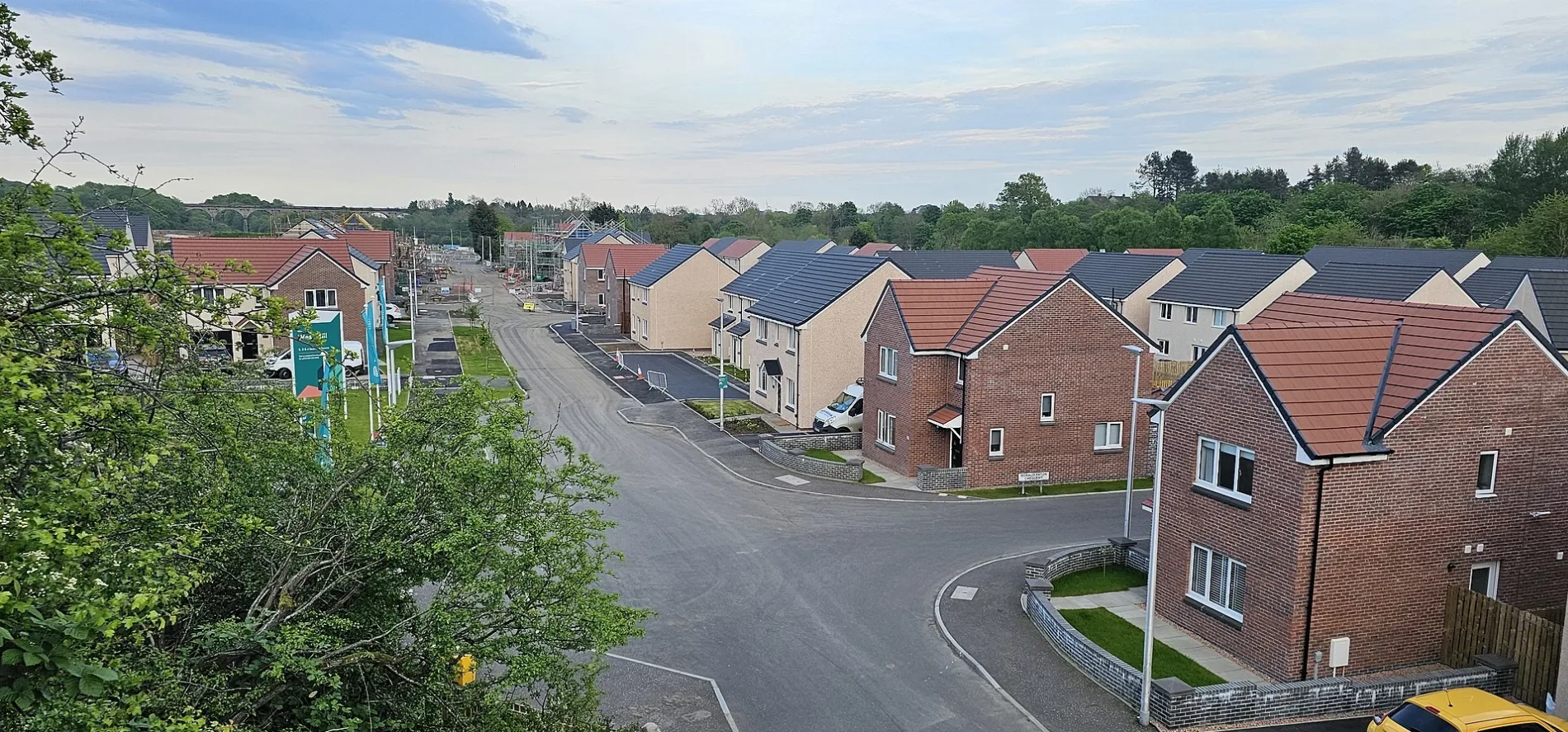
Roads nearby
MacKnight Crescent100 m
Ronald Paton Crescent150 m
Flax Mill Grove200 m
Mackie Gardens200 m
Woodburn Road200 m
Tiel Path250 m
Peter Easton Lane250 m
Woolmill RoadGlenrothes Martial Arts Centre
250 m
Corn Mill Wynd250 m
Westwood Road300 m
Douglas Morisson Wynd300 m
Alburne Crescent300 m
Leven Place300 m
Bighty Court350 m
Dura Park350 m
Mackie Crescent350 m
McInnes Road350 m
Dura Crescent350 m
Sappi Road350 m
Alburne Park400 m
Bighty Road400 m
Falcon Drive400 m
Grosset Place400 m
Dixon Place400 m
Balgonie Avenue400 m
Orchard Drive400 m
Grieve Court400 m
Sweetbank Crescent450 m
West Mill Road450 m
King Edward Street500 m
Sweetbank Terrace500 m
Sweetbank Drive500 m
Guthrie Crescent500 m
Leven Valley Gardens500 m
Bowen Place500 m
George StreetThe Haven - Bar and Restaurant
550 m
Markinch RoadMarkinch Road End
550 m
Park View550 m
Park Terrace550 m
Park Circle550 m
Balbirnie StreetWar Memorial, The Laurel Bank Hotel, Grace, Star Bridal Boutique, Apricity Eighteen, Mclellan, Caramel and Crumbs, Sweetbank Terrace, The Curator
600 m
Balbirnie Avenue600 m
Dunedin Place600 m
Queens Crescent600 m
Buildings nearby
Middle Mill500 m
Parks nearby
John Dixon Park550 m
Balbirnie Park550 m
Rivers nearby
River Leven100 m
Streams nearby
Lade400 m
| Located in | Fife, Markinch |
|---|---|
| Country | United Kingdom |
| Crosses | River Leven |
| Carries thoroughfare | footpath |
 Public transport map Fife Legend
| Railway | |
| Bus | |
| Tram |
 Cycling map Fife Legend
| Cycle path | |
| Cycle lane on road | |
| Cycling on bus lane | |
| Bicycle street | |
| Cyclists allowed | |
| Cyclists allowed, good surface | |
| No cycling | |
| Cobblestones |
| Long-distance cycle route | (depending on scale) | |
| Long-distance cycle route |
 Walking map Fife Legend
| Path |
| Long-distance hiking trail | (depending on scale) | |
| Long-distance hiking trail | ||
| No pedestrians |