
Kelvin Aqueduct in Glasgow City
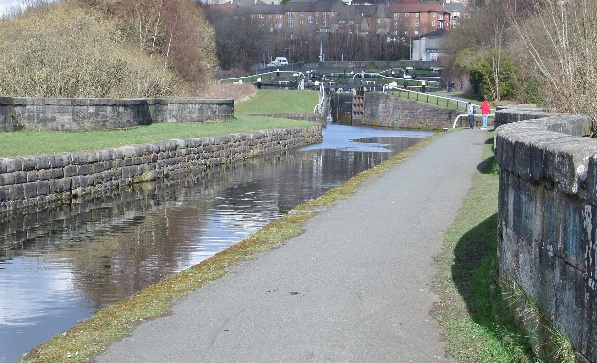
Kelvin Aqueduct in Glasgow City is a canal. Kelvin Aqueduct is also known as Kelvin Aqueduct, River Kelvin, Forth And Clyde Canal, Maryhill, Glasgow. Ⓦ.
- Waterway Type
- canal
Image
Social facility
Post offices
Hairdressers
Cafés
Bus stops
Roads nearby
Skaethorn Bridge100 m
Kelvindale Court100 m
Bantaskin Street150 m
Blairbuie Drive150 m
Skaethorn Road200 m
Fearnach Place250 m
Cowal Road250 m
Cowal Street300 m
Highfield Drive300 m
Daleview Avenue300 m
Lindsay Place300 m
Lochgilp Street350 m
Cleveden Place350 m
Innellan Gardens350 m
Millhouse Drive350 m
Lindsay Drive350 m
Fortingall Place350 m
Highfield Place350 m
Innellan Place350 m
Grandtully Drive400 m
Millhouse CrescentMaryhill Park Junction
400 m
Glencloy Street400 m
Endfield Avenue400 m
Kelvin WalkwayNorth Woodside Flint Mills, Maryhill Junction
450 m
Cleveden RoadKelvinside, Cleveden Road / Lancaster Crescent, Cleveden Road / Winton Drive, Kelvinside, Cleveden Road/ Beaconsfield Road, Kelvindale, Cleveden Road/ Kelvindale Road, Kelvindale, Cleveden Road/ Baronald Gate, Spar, 111 by Nico, LG Pharmacy, spice of india, West end dry cleaners, barbersite, Cleveden Deli, wok cusine, Kelvindale, Cleveden Road/ Cleveden Place, Kelvindale, Cleveden Road/ Highfield Place
450 m
Stonefield Avenue450 m
Ferngrove Avenue450 m
Baronald Drive450 m
Hertford Avenue500 m
Cleveden LaneKelvindale
500 m
Celtic StreetThe Ram's Head
500 m
Northampton Lane500 m
Burlington Avenue550 m
Baronald Gate550 m
Nottingham Avenue550 m
Ashburton Lane550 m
Northampton Drive600 m
Dalsholm Road600 m
Winchester Drive600 m
Southampton Lane600 m
Southampton Drive600 m
Nottingham Lane650 m
Dalsholm Avenue650 m
Body of waters nearby
River Kelvin50 m
Maryhill Top Lock 25150 m
Maryhill Top Lock 24250 m
Industrial buildings nearby
Cullen Packaging650 m
Railway lines nearby
Maryhill Park Junction to Anniesland Line400 m
Maryhill Line500 m
| Height | 21.3 m |
|---|---|
| Length | 122 m |
| Located in | Glasgow City, Glasgow |
| Country | United Kingdom |
| Crosses | River Kelvin |
| Carries thoroughfare | Forth and Clyde Canal |
| Significant event | start of construction |
| Location | Glasgow |
 Public transport map Glasgow City Legend
| Railway | |
| Bus | |
| Tram |
 Cycling map Glasgow City Legend
| Cycle path | |
| Cycle lane on road | |
| Cycling on bus lane | |
| Bicycle street | |
| Cyclists allowed | |
| Cyclists allowed, good surface | |
| No cycling | |
| Cobblestones |
| Long-distance cycle route | (depending on scale) | |
| Long-distance cycle route |
 Walking map Glasgow City Legend
| Path |
| Long-distance hiking trail | (depending on scale) | |
| Long-distance hiking trail | ||
| No pedestrians |