
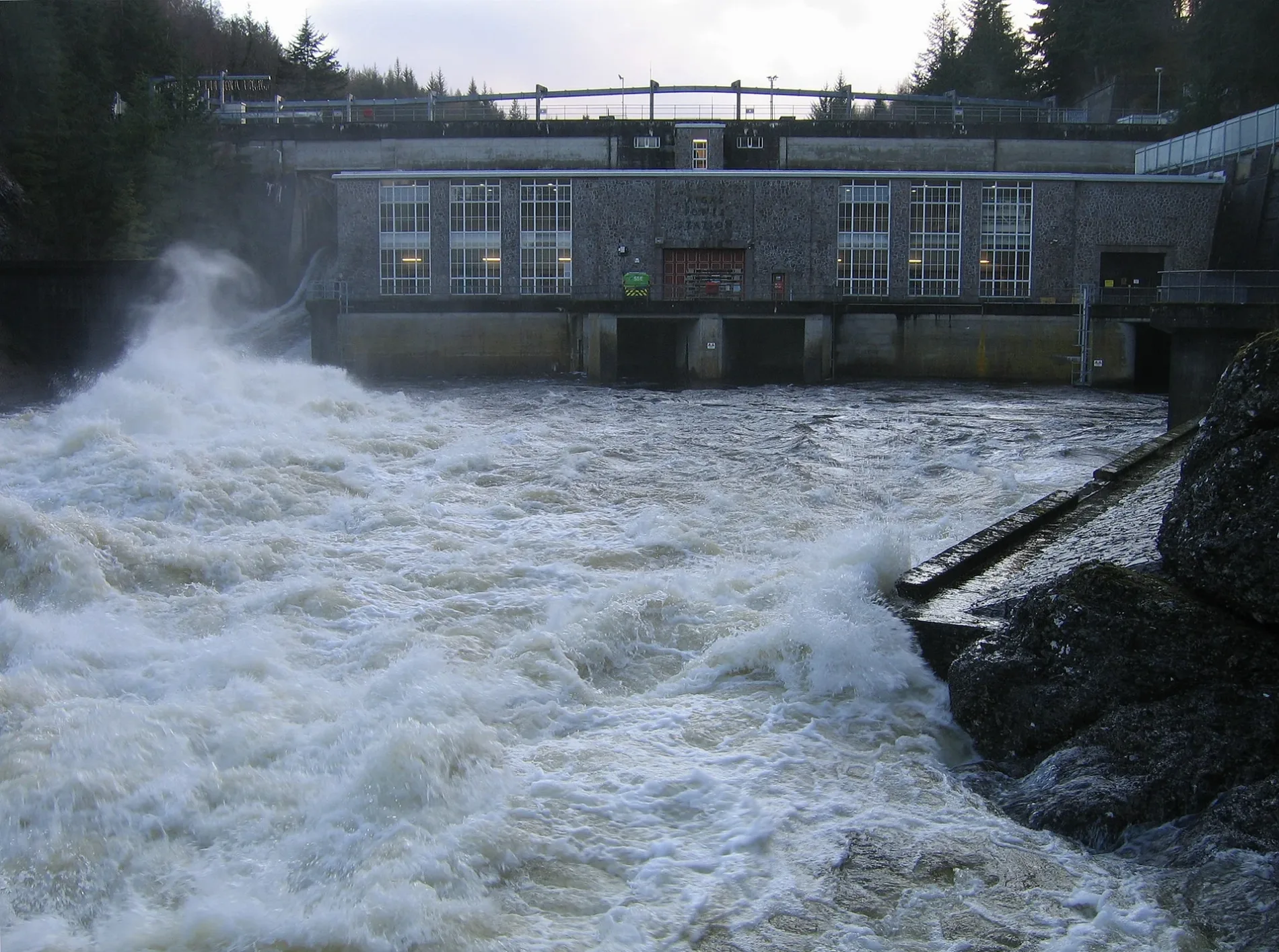
Aigas Power Station in Highland
Aigas Power Station in Highland is a power plant (Scottish & Southern Energy, hydroelectric). Aigas Power Station is near Crask of Aigas Road.
- Building Type
- industrial building
- Operator
- Scottish & Southern Energy
Image
Roads nearby
Crask of Aigas RoadCrask of Aigas
1,5 km
Black Bridge2,3 km
Allarburn ParkPost Office
3,7 km
Art galleries nearby
Kilmorack Gallery2,1 km
Body of waters nearby
Mill Dam2,5 km
Aigas Loch3,0 km
Loch na Toinnidh3,7 km
Buildings nearby
Wester Cruenassie1,0 km
Cruenassie1,1 km
The Log House1,1 km
Beauly - Denny North Section Office1,7 km
Old Saw Mill2,3 km
Mains of Aigas2,5 km
Aigas Field Centre2,6 km
The Magnus House2,8 km
Castles nearby
Beaufort Castle3,3 km
Cemeteries nearby
Old Kilmorack Cemetery2,0 km
New Kilmorack Cemetery2,1 km
Kiltarlity Cemetery2,3 km
Community centres nearby
Kilmorack Community Hall1,6 km
Dams nearby
Aigas Dam50 m
Kilmorack Dam2,0 km
Farmyards nearby
Home Farm2,9 km
Forests nearby
Ruttle Wood100 m
Eilean Aigas2,2 km
Farley Wood2,9 km
Easkdale Wood3,4 km
Guest house nearby
Ornum House2,7 km
Houses nearby
No. 3 Farley1,7 km
No. 2 Farley1,8 km
Broomhill2,2 km
Three Beaches3,2 km
Industrial buildings nearby
Kilmorack Power Station2,0 km
Quarries nearby
Beauly Quarry2,7 km
Residential areas nearby
Moalnaceap Cottage1,5 km
Rivers nearby
River Beauly50 m
Breakachy Burn3,0 km
Sheds nearby
No. 1 Farley2,0 km
Kiltarlity 33/11KV Substation3,7 km
Streams nearby
Allt na h-Athain1,2 km
Allt an Aifrinn1,7 km
Coille na Cleithe2,3 km
Culburnie Burn2,8 km
Black Burn3,2 km
Allt Caoiche3,7 km
Allt an Loin3,8 km
Weirs nearby
The Cruives2,7 km
Woodlands nearby
Drumindorsair Wood2,1 km
Other nearby
Beauly Substation3,1 km
| Owner | SSE Renewables |
|---|---|
| Located in | Highland |
| Country | United Kingdom |
| Body of water | River Beauly |
| Power output | 20 |
| Part of | Affric-Beauly hydro-electric power scheme |
 Public transport map Highland Legend
| Railway | |
| Bus | |
| Tram |
 Cycling map Highland Legend
| Cycle path | |
| Cycle lane on road | |
| Cycling on bus lane | |
| Bicycle street | |
| Cyclists allowed | |
| Cyclists allowed, good surface | |
| No cycling | |
| Cobblestones |
| Long-distance cycle route | (depending on scale) | |
| Long-distance cycle route |
 Walking map Highland Legend
| Path |
| Long-distance hiking trail | (depending on scale) | |
| Long-distance hiking trail | ||
| No pedestrians |