
Image
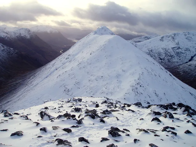
Roads nearby
Glen Etive RoadSkyfall scene, Dalness, Glen Etive, Druimachoish, Gualachulain
3,1 km
Old Arch Bridge4,1 km
Old Military RoadGranton-on-Spey and Anagach Woods, Castle Grant, really small camp site, not great but fits 2 person tent and has access to small river, Tigh na-sleubhaich, Airport Road End, Easterton Road End, Fisherton Road End, Castle Stuart, The Old Byre
4,3 km
Devil's Staircase4,4 km
Aonach EagachAonach Eagach, Ceum Eigin, The Chancellor
4,6 km
West Highland Way - Slighe Taobh an Iar na GàidhealtachdKinlochleven Wild Camping Area, White Corries, Kingshouse, The Way Inn, Altnafeadh, Mam Mor
4,8 km
Old Glencoe RoadBidean Lodge, Strath Lodge Glencoe, Pap of Glencoe - Trek, Leacantuim, Clachaig Inn
5,3 km
Alpine huts nearby
Lagangarbh4,0 km
Body of waters nearby
Lochan na Fola3,1 km
Loch Achtriochtan5,1 km
Lochan na Feithe5,4 km
Buildings nearby
Altnafeadh4,3 km
Inbhirfhaolain4,3 km
Cliffs nearby
Rannoch Wall4,1 km
Ridges nearby
Buachaille Etive Mòr1,8 km
Curved Ridge4,1 km
Rivers nearby
River Etive3,2 km
River Coupall4,4 km
Feith nan Lab5,2 km
Ruins nearby
Allt-na-Reigh2,5 km
Streams nearby
Allt a' Mhàim Bhuidhe900 m
Allt a' Bhlair Bhuide1,6 km
Allt Coire Alrtuim1,7 km
Allt Lairig Eilde1,9 km
Allt Feadain Bhàin2,0 km
Allt Ghartain2,2 km
Allt Doire-bheith2,2 km
Allt Coire Gabhail2,3 km
Allt Coire Meannarclach2,6 km
Alt Coire nam Bog2,7 km
River Coe2,7 km
Easa' Bhodaich2,9 km
Eas na Doire Moire2,9 km
Eas Blàr Èite3,0 km
Eas na Broige3,1 km
Maol Easan3,2 km
Allt Coire Cloiche Finne3,6 km
Allt Coire na Tulaich3,6 km
Allt A' Chaorainn3,8 km
Allt Ruigh3,9 km
Allta` Choire Odhair mhoir4,2 km
Allt a' Mhaim4,4 km
Allt Fhaolain4,4 km
Allt Clachnan Gillean4,5 km
Allt Coire nam Beitheach4,7 km
Valleies nearby
Lairig Eilde1000 m
Coire Gabhail2,3 km
Glen Etive3,3 km
Glen Coe4,4 km
| Elevation | 958 m |
|---|---|
| Located in | Highland |
| Country | United Kingdom |
| Has part | Stob Coire Raineach, Stob Dubh |
 Public transport map Highland Legend
| Railway | |
| Bus | |
| Tram |
 Cycling map Highland Legend
| Cycle path | |
| Cycle lane on road | |
| Cycling on bus lane | |
| Bicycle street | |
| Cyclists allowed | |
| Cyclists allowed, good surface | |
| No cycling | |
| Cobblestones |
| Long-distance cycle route | (depending on scale) | |
| Long-distance cycle route |
 Walking map Highland Legend
| Path |
| Long-distance hiking trail | (depending on scale) | |
| Long-distance hiking trail | ||
| No pedestrians |