
Castle Stuart in Highland
Castle Stuart in Highland is a hotel. Castle Stuart is near Petty Churchyard Road. Ⓦ.
- Building Type
- building
- Tourism
- hotel
- Website
- http://www.castlestuart.com/
Image
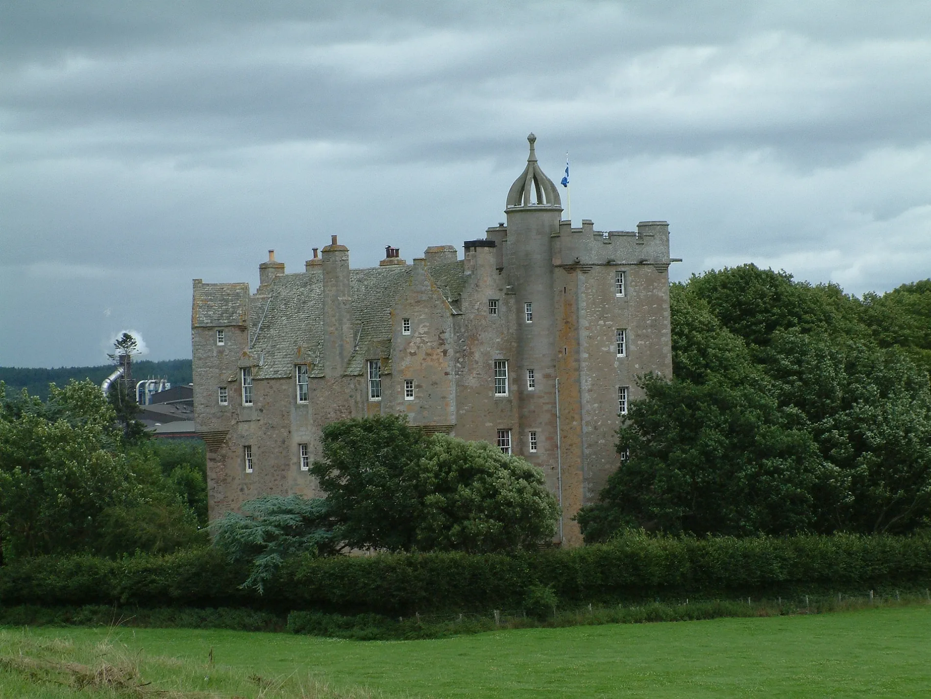
Roads nearby
Petty Churchyard Road200 m
Old Military RoadGranton-on-Spey and Anagach Woods, Castle Grant, really small camp site, not great but fits 2 person tent and has access to small river, Tigh na-sleubhaich, Airport Road End, Easterton Road End, Fisherton Road End, Castle Stuart, The Old Byre
550 m
Wester Fisherton RoadWesterton
1,7 km
Bessel streetBalmachree
1,8 km
Dalcross Station RoadEaster Dalziel
1,9 km
Barn Church RoadWellside
2,2 km
Easterton RoadEasterton
2,3 km
Upper Cullernie Road2,4 km
Upper Cullernie Court2,5 km
Woodend Road2,5 km
Wellside Gardens2,6 km
Wellside Avenue2,6 km
Upper Cullernie Place2,6 km
Wellside Lane2,6 km
Wellside Road2,7 km
Wellside PlaceBalloch
2,8 km
Meadow Road2,8 km
Cullernie Gardens2,8 km
Cullernie Road2,8 km
Culloden RoadCulloden Road, Cumberland Stone, Turning Circle
2,8 km
Braeside Park2,8 km
Balloch School Road2,8 km
Moray Drive2,9 km
Ormond Drive2,9 km
Little Cullernie Park2,9 km
Torris Road3,0 km
Cameron Avenue3,0 km
Underwood Place3,0 km
Wyvis DriveWyvis Drive, Achareidh
3,0 km
Forest Drive3,1 km
Grant Road3,1 km
Woodland Path through Balloch Woods3,1 km
Cherry ParkCherry Park
3,1 km
Macleod Road3,2 km
Woodland Path in Balloch Woods3,2 km
Edgemoor Park3,3 km
Buildings nearby
Easter Feabuie2,9 km
Balloch Hall2,9 km
Cemeteries nearby
Petty Cemetery250 m
Commercial buildings nearby
Co-op Dalcross LSC2,7 km
Golf courses nearby
Castle Stuart Golf Links1,1 km
Industrial areas nearby
West Fraser Europe1,2 km
Places of worship nearby
Culloden-Balloch Baptist Church2,7 km
Railway lines nearby
Aberdeen to Inverness Line1,2 km
Highland Main Line3,3 km
Streams nearby
Rough Burn450 m
Fiddler's Burn2,4 km
Supermarkets nearby
Scotmid2,8 km
Veterinary practices nearby
Moray Coast Veterinary Group2,9 km
| Inception | 1619 |
|---|---|
| Commissioned by | James Stuart, 3rd Earl of Moray |
| Heritage designation | category A listed building |
| Located in | Highland, Petty |
| Country | United Kingdom |
| Described by source | Encyclopædia Britannica 11th edition |
| Location | Petty |
 Public transport map Highland Legend
 | Railway | |
| Bus | |
| Tram |
 Cycling map Highland Legend
 | Cycle path | |
| Cycle lane on road | |
| Cycling on bus lane | |
| Bicycle street | |
| Cyclists allowed | |
| Cyclists allowed, good surface | |
| No cycling | |
| Cobblestones |
| Long-distance cycle route | (depending on scale) | |
| Long-distance cycle route |
 Walking map Highland Legend
 | Path |
| Long-distance hiking trail | (depending on scale) | |
| Long-distance hiking trail | ||
| No pedestrians |