
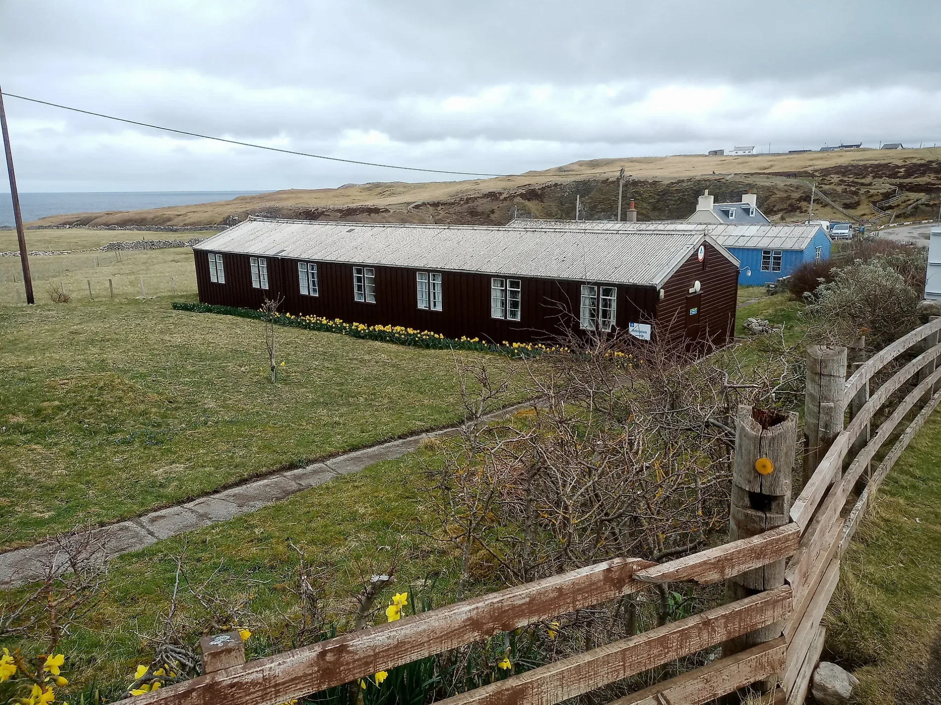
Durness Youth Hostel in Highland
Durness Youth Hostel in Highland is a hostel (IV27 4QA). Durness Youth Hostel is near Druim Bhlàr.
- Postal Code
- IV27 4QA
- Operator
- Hostelling Scotland
- Tourism
- hostel
- Website
- https://www.hostellingscotland.org.uk/hostels/durness-smoo/
Image
Roads nearby
Druim Bhlàr250 m
Smoo Cave Hotel RoadLeirinmore
400 m
Smoo RoadRevolution Laundry
450 m
Churchend Road1,3 km
School RoadLazy Crofter Bunkhouse/Hostel, Primary School Road End, Ardnamurchan High School, Àrainn Shuaineirt, UHI West Highland - Strontian, Strontian, North Ballachulish, Kinlochleven Road End, Chocolates of Glenshiel
1,4 km
Hames PlacePost Office, Durness
1,6 km
Mackay RoadSangobeg
1,6 km
Old Manse Track2,5 km
Rispond Pier RoadRispond
3,4 km
Keodale Ferry RoadCape Wrath Hotel, The Durness Food Spot, Geopark: Kyle of Durness
4,1 km
Nature nearby
Smoo Cave200 m
Eilean Hoan3,0 km
Baies nearby
Geodha Smoo200 m
Beaches nearby
Tràigh Allt Chàilgeag2,8 km
Bicycle hires nearby
Durness Community Bike HUB1,6 km
Body of waters nearby
Loch Caladail2,0 km
Loch Meadaidh2,3 km
Loch Croispol2,8 km
Loch Lanlish3,2 km
Loch Duail3,4 km
Buildings nearby
Durness Telephone Exchange1,4 km
The Manse2,5 km
Old School2,7 km
Balnakeil House2,9 km
Balnakeil Mill2,9 km
Tractormans House3,5 km
Cafés nearby
White Heather Cafe200 m
Cocoa Mountain2,5 km
Churches nearby
Balnakeil Church3,0 km
Community centres nearby
Durness Village Hall350 m
Convenience stores nearby
Mathers1,2 km
Spar1,5 km
Craft shops nearby
58 N1,2 km
Doctor's practice nearby
Durness Medical Centre1,5 km
Gardens nearby
John Lennon Memorial Garden300 m
Golf courses nearby
Durness Golf Club3,5 km
Guest house nearby
Morven B&B400 m
Wild Orchid Guest House1,5 km
Aiden House1,7 km
Hostel nearby
Lazy Crofter1,5 km
Hotels nearby
Smoo Cave Hotel400 m
Mackay Hotel1,5 km
Places of worship nearby
Durness Church of Scotland1,3 km
Restaurants nearby
Sango Sands Oasis1,2 km
Balnakeil Bistro2,5 km
Rivers nearby
Allt Smoo150 m
Streams nearby
Sango Burn1,5 km
Allt Chàilgeag3,2 km
Other nearby
Cape Wrath ferry4,3 km
| Country | United Kingdom |
|---|
 Public transport map Highland Legend
| Railway | |
| Bus | |
| Tram |
 Cycling map Highland Legend
| Cycle path | |
| Cycle lane on road | |
| Cycling on bus lane | |
| Bicycle street | |
| Cyclists allowed | |
| Cyclists allowed, good surface | |
| No cycling | |
| Cobblestones |
| Long-distance cycle route | (depending on scale) | |
| Long-distance cycle route |
 Walking map Highland Legend
| Path |
| Long-distance hiking trail | (depending on scale) | |
| Long-distance hiking trail | ||
| No pedestrians |