
Handa Island in Highland
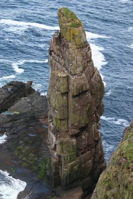
Handa Island in Highland is a Coastline. Handa Island is also known as Handa, Scotland. Ⓦ.
- Nature
- coastline
Image
Roads nearby
Tarbet Jetty RoadTarbet, Tarbet (nr Scourie)
4,0 km
Scourie Pier RoadSpar
4,6 km
Harbour RoadCaledonian MacBrayne, Ferry Terminal, Caithness SeaCoast tours, Old Fog Cannon
4,6 km
Park TerracePost Office, Scourie Post Office, Fourwinds Bed & Breakfast
4,8 km
Moffat Square4,8 km
Scourie More Road4,9 km
Scourie School Road5,2 km
Handa Terrace5,2 km
Scourie Free Church Road5,5 km
Upper Badcall RoadBadcall
7,4 km
Nature nearby
Stac an t-Seabhaig100 m
Stac na Faoileige1,1 km
Eilean an Aigeich1,9 km
Eilean an t-Sithein4,8 km
Sgeir Iosal5,0 km
Eilean Ard5,4 km
Eilean na Saille6,3 km
Sgeir Eorna7,6 km
Baies nearby
Port an Eilein2,0 km
Body of waters nearby
Loch Dubh3,5 km
Loch Gobhlach4,0 km
Loch a' Chruaidhlinn4,6 km
Clàr Loch5,5 km
Loch Leathad nan Cruineachd5,6 km
Loch a' Mhill Dheirg5,7 km
Loch a' Bhadaidh Daraich5,7 km
Loch a' Phreasain Challtuinne5,8 km
Loch an Daimh Mor6,3 km
Loch an Daimh Beag6,6 km
Loch a' Chreagain Theth7,4 km
Buildings nearby
Tarbet Public Toilets3,1 km
Scourie Community Bird Hide4,5 km
Scourie Telephone Exchange5,5 km
Campsite nearby
Scourie Caravan and Campsite4,6 km
Convenience stores nearby
Scourie Outdoor Leisure4,7 km
Parker's4,7 km
Gardens nearby
Scourie Lodge Gardens4,4 km
Guest house nearby
Scourie Lodge B&B4,4 km
Spindrift B&B4,7 km
Greenhill B&B4,8 km
Hotels nearby
Scourie Hotel4,7 km
Places of worship nearby
The Free Presbyterian Church of Scotland - Scourie Congregation5,0 km
Residential areas nearby
Scourie5,0 km
Residential buildings nearby
Arkasaig4,7 km
Restaurants nearby
Shorehouse Seafood Restaurant3,1 km
The Anchorage4,6 km
Sports pitches nearby
Achlochan Park5,1 km
Straits nearby
Caolas Eilean na Saille6,4 km
Other nearby
Glas Leac1,9 km
| Area | 309 ha |
|---|---|
| Located in | Highland |
| Country | United Kingdom |
| Body of water | Atlantic Ocean |
| Population | 0 |
| Part of | Inner Hebrides |
 Public transport map Highland Legend
| Railway | |
| Bus | |
| Tram |
 Cycling map Highland Legend
| Cycle path | |
| Cycle lane on road | |
| Cycling on bus lane | |
| Bicycle street | |
| Cyclists allowed | |
| Cyclists allowed, good surface | |
| No cycling | |
| Cobblestones |
| Long-distance cycle route | (depending on scale) | |
| Long-distance cycle route |
 Walking map Highland Legend
| Path |
| Long-distance hiking trail | (depending on scale) | |
| Long-distance hiking trail | ||
| No pedestrians |