
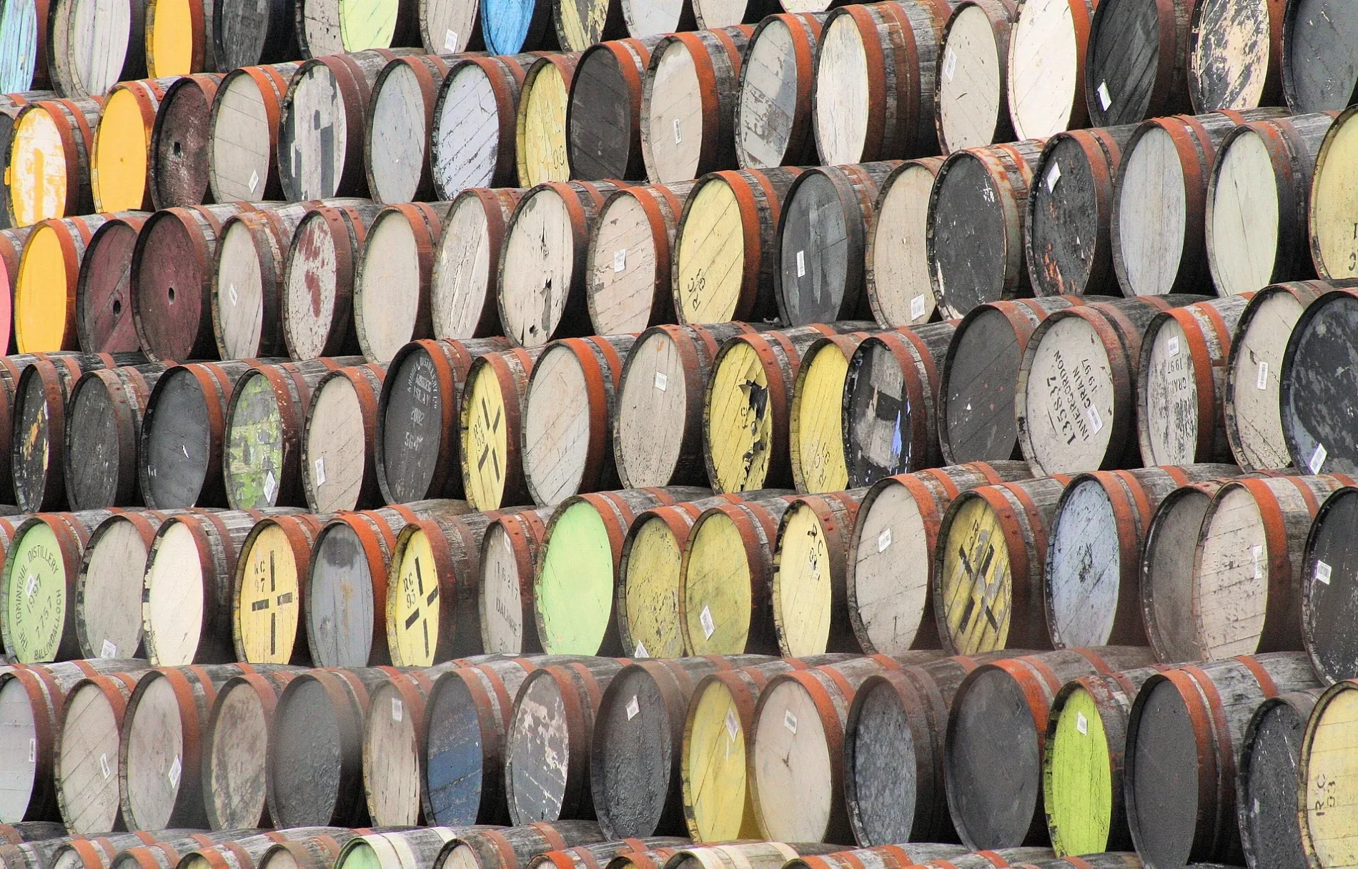
Invergordon Distillery in Highland
Invergordon Distillery in Highland is an industrial area (Whyte & Mackay). Ⓦ.
- Land Use
- industrial area
- Operator
- Whyte & Mackay
- Website
- https://www.whyteandmackayltd.com/our-locations/invergordon/
Image
Roads nearby
Inverbreakie DriveInverbreakie Drive
150 m
Woodland WalkDunvegan Pebble
250 m
Blackpark Avenue300 m
Ord Terrace400 m
Inglis Road400 m
Cadboll Road450 m
Woodside GardensBubblefield
450 m
Back Lane500 m
Rose Road500 m
Murray Road500 m
Grosvenor Street500 m
Murray Lane500 m
Cromarty ViewSaltburn Road, Woodside Gardens (Saltburn Road)
550 m
Elliot Road550 m
Primrose LaneSaltburn
550 m
Failes Road550 m
Cherrybank Road600 m
Golfview TerraceGolf View Terrace
600 m
WestwoodSaltburn Road
600 m
Dickies Road600 m
Rowan RoadSaltburn
650 m
Ault-Sallan Road700 m
Old Ord Road700 m
Inverbreakie Industrial EstateInvergordon Tyre Services, Howdens Joinery, SWL Invergordon, Air products, Highland auto repair, Inverbreakie
850 m
Saltburn RoadFoxes Hotel
900 m
Seabank Road1000 m
Clayton Court1,0 km
Academy RoadInvergordon Academy
1,0 km
BA Straight1,1 km
MacKean CrescentSER Supplies, The Stationery Stop
1,1 km
Canteen Road1,1 km
Buildings nearby
Fairacres1,1 km
Fairfield1,1 km
Buildings nearby
Origin fertilizers700 m
Kirker Europe Ltd800 m
Invergordon Telephone Exchange1,1 km
Commercial buildings nearby
Morrich House1000 m
Ditches nearby
Big Ditch1,4 km
Fitness centres nearby
Invergordon Leisure Centre950 m
Industrial areas nearby
Cromarty Firth Industrial Park900 m
Castle Avenue Industrial Estate1,1 km
Meadows nearby
Cromarty Firth Business Park1,1 km
Parks nearby
Saltburn Woodland450 m
Pet groomings nearby
Scruffy Paws1,0 km
Railway lines nearby
Far North Line50 m
Recreation grounds nearby
Recreation Ground1,2 km
Self-storages nearby
file VAULT900 m
Sheds nearby
Biomass Boiler1,1 km
Social facilities nearby
Isobel Rhind Centre1000 m
| Inception | 1959 |
|---|---|
| Located in | Highland |
| Country | United Kingdom |
| Location | Invergordon |
 Public transport map Highland Legend
| Railway | |
| Bus | |
| Tram |
 Cycling map Highland Legend
| Cycle path | |
| Cycle lane on road | |
| Cycling on bus lane | |
| Bicycle street | |
| Cyclists allowed | |
| Cyclists allowed, good surface | |
| No cycling | |
| Cobblestones |
| Long-distance cycle route | (depending on scale) | |
| Long-distance cycle route |
 Walking map Highland Legend
| Path |
| Long-distance hiking trail | (depending on scale) | |
| Long-distance hiking trail | ||
| No pedestrians |