
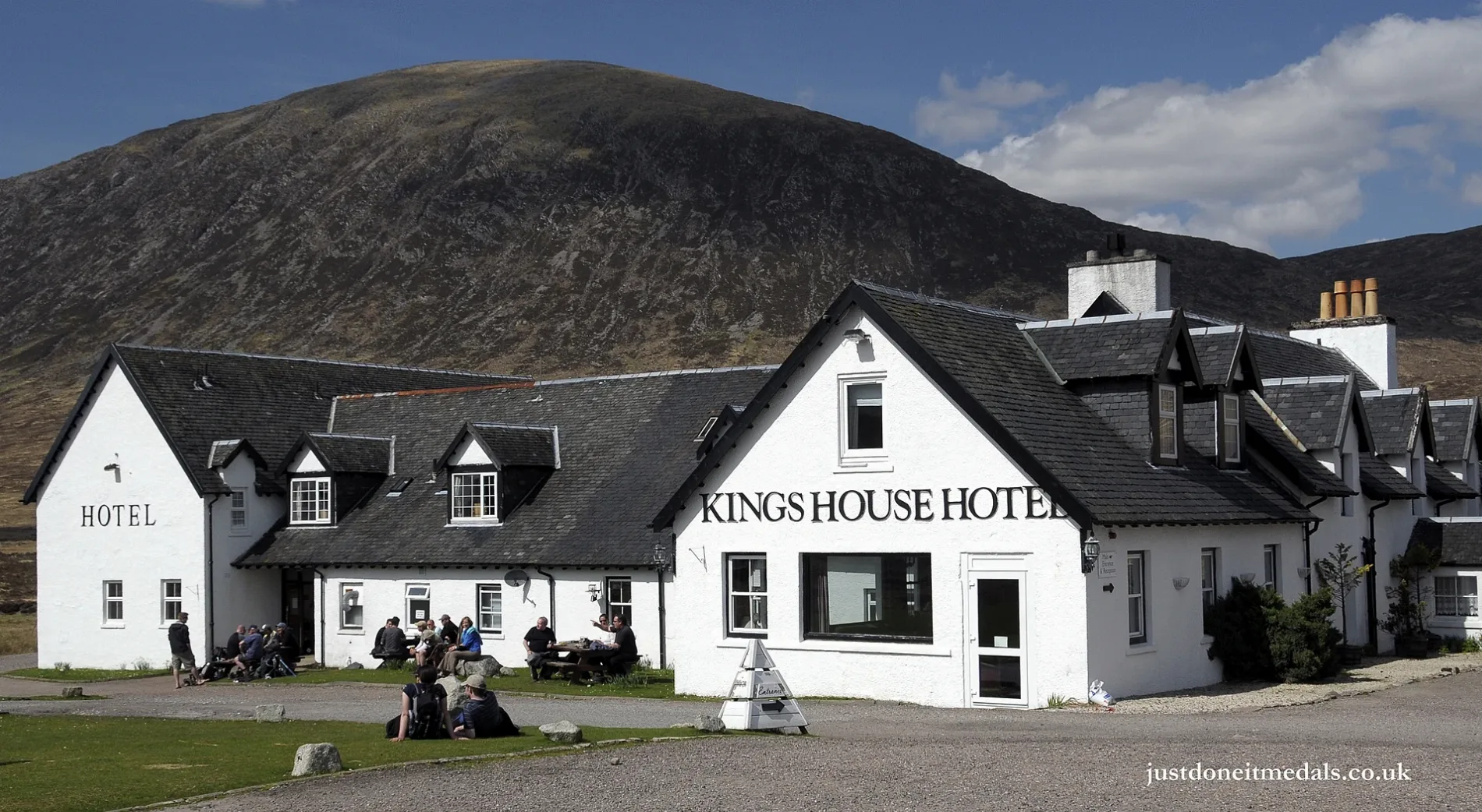
Kingshouse Hotel in Highland
Kingshouse Hotel in Highland is a restaurant, Glencoe (PH49 4HY). Ⓦ.
- Postal Code
- PH49 4HY
- Street
- Glencoe
- Amenity
- restaurant
- Building Type
- building
- Tourism
- hotel
- Website
- https://www.kingshousehotel.co.uk/
Image
Roads nearby
Glen Etive RoadSkyfall scene, Dalness, Glen Etive, Druimachoish, Gualachulain
1,6 km
Bunny Run / Mugs Alley3,8 km
Old Arch Bridge4,2 km
Old Military RoadGranton-on-Spey and Anagach Woods, Castle Grant, really small camp site, not great but fits 2 person tent and has access to small river, Tigh na-sleubhaich, Airport Road End, Easterton Road End, Fisherton Road End, Castle Stuart, The Old Byre
4,4 km
Devil's Staircase5,0 km
West Highland Way - Slighe Taobh an Iar na GàidhealtachdKinlochleven Wild Camping Area, White Corries, Kingshouse, The Way Inn, Altnafeadh, Mam Mor
5,2 km
Land Use nearby
The Wall3,3 km
Canyon3,6 km
Happy ValleyHappy Valley, Factor's Cottage, Factor's Inn
3,7 km
Haggis Trap3,7 km
Spring Run3,9 km
Main Basin3,9 km
Leisure nearby
Glencoe Mountain Resort4,0 km
Alpine huts nearby
Blackrock Cottage1,8 km
Lagangarbh4,0 km
Body of waters nearby
Lochan na Feithe4,0 km
Lochan nam Breac Reamhar4,3 km
Warbrick's Loch4,9 km
Lochan na Fola5,1 km
Loch an Easain5,2 km
Lochan Meal an Tiompain5,7 km
Buildings nearby
Kingshouse Telephone Exchange100 m
Scottish Ski Club3,8 km
Altnafeadh4,0 km
Ba Cottage5,5 km
Cafés nearby
Plateau Cafe3,3 km
Cliffs nearby
Rannoch Wall3,4 km
Dams nearby
Blackwater Dam5,4 km
Hotels nearby
Kingshouse Bunkhouse100 m
Ridges nearby
Curved Ridge3,4 km
Rivers nearby
Allt nan Giubhas700 m
River Etive1,8 km
River Coupall3,5 km
Black Water5,9 km
Streams nearby
Allt Cam Ghlinne2,2 km
Allt Clachnan Gillean3,3 km
Allt Garbh3,9 km
Allt Coire na Tulaich4,0 km
Allt Coire Gharibh4,4 km
Allt Lagan na Fèithe4,5 km
Allt Coire Cloiche Finne4,5 km
Allt a' Mhaim4,6 km
Allt an Eoin Bhinn4,8 km
Allt Creagan nam Meann5,1 km
Allt Feadain Bhàin5,5 km
River Coe5,6 km
Eas Blàr Èite5,6 km
Allt a' Bhlair Bhuide5,9 km
Other nearby
Monument4,5 km
| Elevation | 245 m |
|---|---|
| Located in | Highland, Lismore and Appin |
| Country | United Kingdom |
 Public transport map Highland Legend
| Railway | |
| Bus | |
| Tram |
 Cycling map Highland Legend
| Cycle path | |
| Cycle lane on road | |
| Cycling on bus lane | |
| Bicycle street | |
| Cyclists allowed | |
| Cyclists allowed, good surface | |
| No cycling | |
| Cobblestones |
| Long-distance cycle route | (depending on scale) | |
| Long-distance cycle route |
 Walking map Highland Legend
| Path |
| Long-distance hiking trail | (depending on scale) | |
| Long-distance hiking trail | ||
| No pedestrians |