
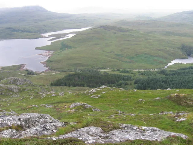
Loch Bad an Sgalaig in Highland
Loch Bad an Sgalaig in Highland is a body of water. Ⓦ.
- Nature
- body of water
Image
Roads nearby
Maintenance access track4,1 km
Charleston Road4,8 km
Flowerdale RoadThe Old Inn, Old Inn
4,9 km
Flowerdale BridgeGairloch Old Inn
5,0 km
Old Flowerdale Bridge5,0 km
Pier RoadKilchoan, Tourist Information, Puffin Coffee, Coast Bar and Kitchen, Bus Shelter, Slipway, Gairloch Marine Life Centre & Cruises, Hebridean Whale Cruises, Ratharsair / Raasay, Coast Coffee, Harbour, Gairloch Post Office, Glass Bottom Boat, Little Green Shop, Wordworks Ltd, Shop at the Pier, Oil dump, Glendale Boats, Harbour Car Par EV charger
5,1 km
Braeside Road5,2 km
Aquacultures nearby
Kerry Bay fish farm4,1 km
Banks nearby
Bank of Scotland5,2 km
Body of waters nearby
An Feur-loch1,2 km
Dubh Loch1,4 km
Loch nam Buainichean1,9 km
Lochan Druim na Fearna2,5 km
Allt a' Chathairg3,0 km
Lochan a' Chleirich3,0 km
Lochan nan Leacann Dearga3,1 km
Lochan nan Cadhaichean3,4 km
Loch na Doire Bige3,7 km
Lochan Sgeireach3,7 km
Loch Àiridh a' Phuill3,7 km
Loch a' Mhuillin4,8 km
Loch Airidh Mhic Criadh5,3 km
Buildings nearby
The Red Stable900 m
Kerry Falls Power Station1,9 km
Mobile telecoms base station4,1 km
Les Buchan Builders4,9 km
Dome4,9 km
Gairloch Boat Club5,1 km
Commercial buildings nearby
Les Buchan DIY4,8 km
Farmyards nearby
Fish Farm4,0 km
Gallery nearby
Inchgowan Gallery4,9 km
Gardens nearby
Gairloch Sitooterie5,1 km
Hotels nearby
Gairloch Highland Lodge4,6 km
Houses nearby
Anchorage4,9 km
Oakbank5,1 km
Bruach Rannach5,1 km
Bank Brae House5,1 km
SunnysideSunnyside, Newlands of Culloden
5,1 km
Bank House5,2 km
Creag Hastin5,2 km
Residential buildings nearby
Flowerdale House4,8 km
Charleston House4,8 km
Rivers nearby
Allt Lochan a Chleirich1,8 km
River Kerry2,7 km
Amhainn a' Gharbh-choire3,9 km
Abhainn Ghlas4,0 km
Streams nearby
Allt na Meine3,9 km
Abhainn Braigh-horrisdail4,1 km
Tourist information offices nearby
Flowerdale information point5,0 km
| Located in | Highland |
|---|---|
| Country | United Kingdom |
 Public transport map Highland Legend
| Railway | |
| Bus | |
| Tram |
 Cycling map Highland Legend
| Cycle path | |
| Cycle lane on road | |
| Cycling on bus lane | |
| Bicycle street | |
| Cyclists allowed | |
| Cyclists allowed, good surface | |
| No cycling | |
| Cobblestones |
| Long-distance cycle route | (depending on scale) | |
| Long-distance cycle route |
 Walking map Highland Legend
| Path |
| Long-distance hiking trail | (depending on scale) | |
| Long-distance hiking trail | ||
| No pedestrians |