
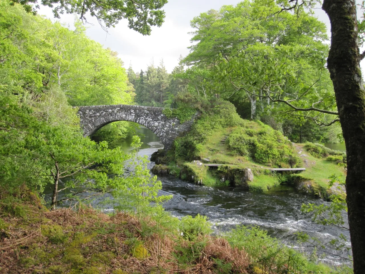
Old Shiel Bridge in Highland
Old Shiel Bridge in Highland is a path. It runs in an east-west direction and ends in a cul-de-sac. Old Shiel Bridge is also known as Acharacle, Old Shiel Bridge.
- Road Type
- path
- Route
- east-west
Image
Roads nearby
Moss Moidart RoadMoss
850 m
Shielfoot RoadBun Abhainn Seileach / Shielfoot
1,2 km
Dorlin Road1,2 km
Morrison Place1,9 km
MacNaughton Crescent1,9 km
Nature nearby
Eilean Uaine2,7 km
Bakeries nearby
The Bakery2,0 km
Body of waters nearby
Lochan a' Churraidh750 m
Loch Blain1,5 km
Lochan na Fola1,7 km
Buildings nearby
The Ferrymans Croft1,2 km
Cuil-dhu1,3 km
Pier View Cottage1,7 km
The Acharachle Centre1,9 km
Salen Telephone Exchange2,2 km
Druimbeg2,5 km
Cafés nearby
The Highlander Café2,0 km
Cafe Tioram2,2 km
Clinics nearby
Acharacle Medical Practice850 m
Convenience stores nearby
Acharacle Village Store2,0 km
Garages nearby
Loch Shiel Garage2,1 km
Guest house nearby
Ardshealach Lodge2,3 km
Hotels nearby
Loch Shiel Hotel2,0 km
Houses nearby
The Old Chapel House1,3 km
Places of worship nearby
Acharacle Parish Church850 m
Our Lady of the Angels1,3 km
Free Church of Scotland Acharacle1,8 km
Residential buildings nearby
Laundry Cottage300 m
Moorfield House350 m
Queens Cottage800 m
Glendale900 m
Redwood House950 m
The Old Manse1,0 km
Shielside1,1 km
Cuilabhata1,2 km
Torr-beag1,4 km
Loch Shiel View1,8 km
Allt Fearna1,9 km
Rivers nearby
River Shiel1,0 km
Faodhail Bhan2,1 km
Streams nearby
Blain Burn800 m
Alltan na Pairce1000 m
Abhainn Deabh1,8 km
Dig Bhan1,9 km
Acharacle Burn2,0 km
Dig a' Choire Chruinn2,1 km
Allt na h-Eilde2,1 km
Mingarry Burn2,2 km
Town halls nearby
Shielbridge Hall1,4 km
| Located in | Highland, Arisaig and Moidart |
|---|---|
| Country | United Kingdom |
| Crosses | River Shiel |
| Carries thoroughfare | footpath |
 Public transport map Highland Legend
| Railway | |
| Bus | |
| Tram |
 Cycling map Highland Legend
| Cycle path | |
| Cycle lane on road | |
| Cycling on bus lane | |
| Bicycle street | |
| Cyclists allowed | |
| Cyclists allowed, good surface | |
| No cycling | |
| Cobblestones |
| Long-distance cycle route | (depending on scale) | |
| Long-distance cycle route |
 Walking map Highland Legend
| Path |
| Long-distance hiking trail | (depending on scale) | |
| Long-distance hiking trail | ||
| No pedestrians |