
Ord House Hotel in Highland
Ord House Hotel in Highland is a hotel, Ord Drive (IV6 7UH).
- Postal Code
- IV6 7UH
- Street
- Ord Drive
- Building Type
- hotel
- Tourism
- hotel
Image
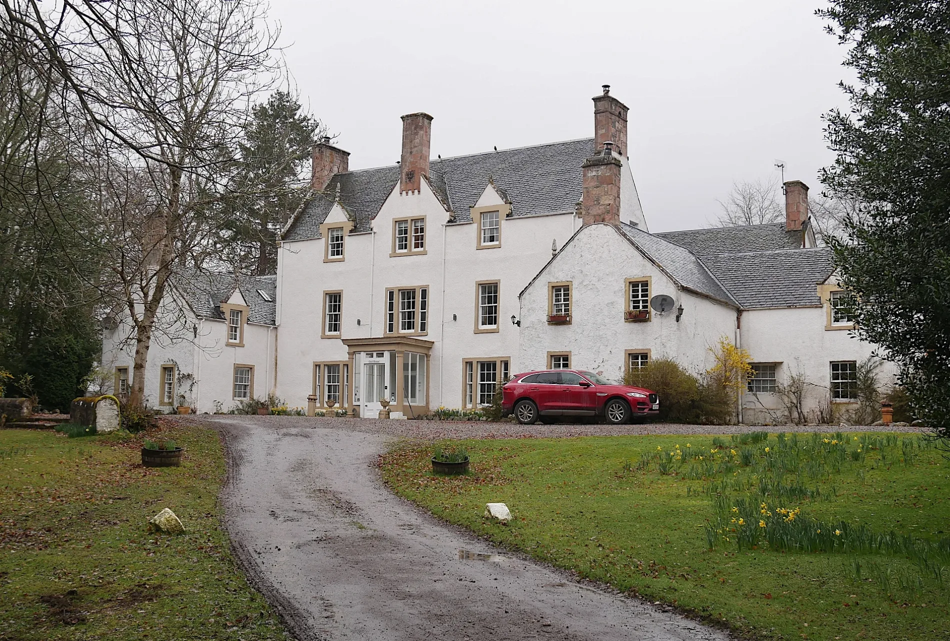
Roads nearby
West RoadOrd Distillery, West Road
600 m
Ward's Croft750 m
West Way750 m
Ord House DriveGlen Ord Distillery Visitor Centre
750 m
Heather Court850 m
Beech AvenueBeech Avenue
900 m
Oak Drive950 m
Wards Drive950 m
Macrae Park950 m
Broomhill Drive1000 m
The MeadowsSpar, Highland Spice, Highland Fish & Chips
1,0 km
Broomhill Road1,0 km
Broomhill Place1,0 km
Ord RoadMarybank
1,0 km
Ord Wood1,1 km
Cnoc-na-BoullUpper Ardnagrask
1,1 km
Corrie GardensWest Road
1,1 km
Corry Road1,2 km
Chestnut Grove1,2 km
Ord Lochan1,2 km
Corrie Terrace1,2 km
Noble's Court1,2 km
Corrie Place1,2 km
Great North RoadPetrol Station, Urray House, Teandalloch, Khan Tandoori, Muir of Ord Square, Blythswood Care, The Muir Hub, Bad Girl Bakery, Cafe Artysans at The Muir Hub, Ord Arms Hotel, Ord Filling Station, Wash.ME
1,2 km
Highfield1,3 km
Station View1,3 km
Fairmuir Roadrightmedicine Pharmacy, Jaki, Deas The Bakers
1,4 km
Chapelton Place1,4 km
Highfield Circle1,4 km
Logan WayMuir of Ord
1,4 km
Seaforth RoadTarradale Auld Sweetie Shop, Tradespark
1,4 km
Ord PlaceGulf
1,4 km
Buildings nearby
Muir Of Ord Telephone Exchange1,5 km
Community centres nearby
Muir of Ord Village Hall1,4 km
Convenience stores nearby
Co-op Food1,4 km
Farmyards nearby
Upper Ardnagrask1,3 km
Chapelton Farm1,3 km
Fitness centres nearby
NV2 Fitness1,3 km
Forests nearby
Clash Wood900 m
Gardenhill Plantation900 m
Hotels nearby
Ord Arms Hotel1,3 km
Houses nearby
Upper Ardnagrask Farm1,3 km
Old Bank1,4 km
Industrial areas nearby
Glen Ord Distillery700 m
Places of worship nearby
Urray Free Church1,1 km
East Church1,4 km
Railway lines nearby
Far North Line1,3 km
Razed railways nearby
Black Isle Branch1,4 km
Woodlands nearby
Tenafield Belts1,1 km
| Heritage designation | category B listed building |
|---|---|
| Located in | Highland, Urray |
| Country | United Kingdom |
 Public transport map Highland Legend
| Railway | |
| Bus | |
| Tram |
 Cycling map Highland Legend
| Cycle path | |
| Cycle lane on road | |
| Cycling on bus lane | |
| Bicycle street | |
| Cyclists allowed | |
| Cyclists allowed, good surface | |
| No cycling | |
| Cobblestones |
| Long-distance cycle route | (depending on scale) | |
| Long-distance cycle route |
 Walking map Highland Legend
| Path |
| Long-distance hiking trail | (depending on scale) | |
| Long-distance hiking trail | ||
| No pedestrians |