
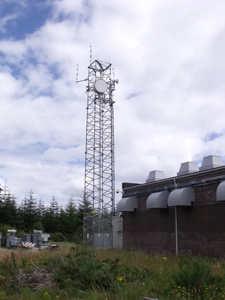
Rosemarkie transmitting station in Highland
Rosemarkie transmitting station in Highland is an industrial area. Ⓦ.
- Land Use
- industrial area
Image
Roads nearby
Firth View1,1 km
Learnie HillLearnie Hill
1,4 km
Muirhead Climb1,9 km
Canon StreetDavidston
2,2 km
Colony Wood2,5 km
Home2,6 km
Callachy DownhillCallachy Hill
2,6 km
Pylon2,8 km
Rockit2,9 km
Bike Park2,9 km
Callachy Hill Climb3,2 km
Balmungie RoadWester Balmungie
3,4 km
Flowerburn Mains Road4,5 km
Denny Road4,7 km
Sutor Court5,1 km
Adams Road5,2 km
Mill RoadRosemarkie Community Toilets, Scorrybreck Road, opp Scorrybreck Road, Mill Road, St Andrews Drive, Dunvegan Bakery and Coffee Shop
5,2 km
Allan Road5,2 km
Kincurdy DriveRosemarkie Bay Beach Cafe, Rosemarkie Bay Exhibition
5,2 km
Well Road5,2 km
Bridge StreetFairy Glen Car Park, Hotel, Steel Sails, Station Hotel Avoch, Bridge Street, Station Hotel, Bridge Street Cafe, Wick Fish and Chicken Bar Curry House, Wick Fish & Chicken Bar Curry House, Halkirk
5,2 km
Beaches nearby
Rosemarkie Beach5,1 km
Buildings nearby
Cromarty Brewing Company2,2 km
Newton Cottage4,3 km
Community centres nearby
Gordon Memorial Hall5,3 km
Farm buildings nearby
Cromarty Mains Farm5,1 km
Farmyards nearby
Eathie Mains1,8 km
Navity3,3 km
Flowerburn Mains4,2 km
Newton of Cromarty4,4 km
Forests nearby
Kenny's Plantation1,8 km
Muirhead Wood1,8 km
Whitebog Wood - Millbuie and Findon Forests3,1 km
Grey Cairn Wood - Millbuie and Findon Forests3,4 km
Flowerburn Wood4,6 km
Houses nearby
Springwells Cottage2,7 km
Navity Farm Cottage3,4 km
Flowerburn House3,4 km
Viewfield4,5 km
Cluny4,6 km
Huts nearby
Fossil Bothy1,9 km
Pubs nearby
The Plough Inn5,2 km
Residential areas nearby
Navity Cottages3,5 km
Restaurants nearby
Plough Bistro Lounge5,2 km
Rivers nearby
Eathie Burn2,4 km
Scrublands nearby
Navity Wood4,4 km
Streams nearby
Davidston Burn3,1 km
Auchnagarrie Burn3,2 km
Red Burn4,1 km
| Located in | Highland |
|---|---|
| Country | United Kingdom |
 Public transport map Highland Legend
| Railway | |
| Bus | |
| Tram |
 Cycling map Highland Legend
| Cycle path | |
| Cycle lane on road | |
| Cycling on bus lane | |
| Bicycle street | |
| Cyclists allowed | |
| Cyclists allowed, good surface | |
| No cycling | |
| Cobblestones |
| Long-distance cycle route | (depending on scale) | |
| Long-distance cycle route |
 Walking map Highland Legend
| Path |
| Long-distance hiking trail | (depending on scale) | |
| Long-distance hiking trail | ||
| No pedestrians |