
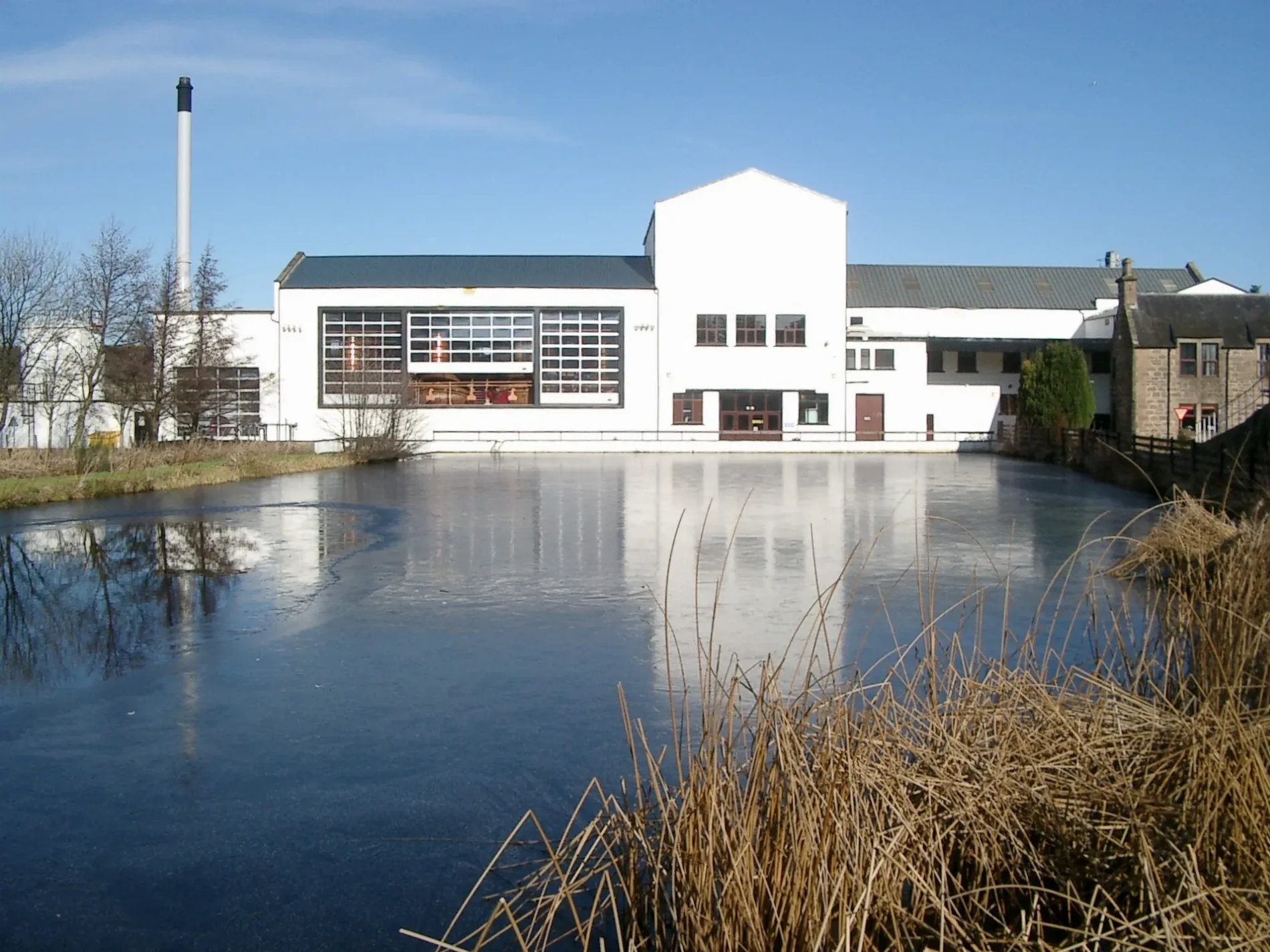
Royal Brackla Distillery in Highland
Royal Brackla Distillery in Highland is an industrial area (John Dewar & Sons, Ltd.). Royal Brackla Distillery is also known as Brackla. Ⓦ.
- Land Use
- industrial area
- Operator
- John Dewar & Sons, Ltd.
Image
Roads nearby
Blairmore Cottages800 m
Piperhill Cottages1,1 km
Cawdor - Nairn River Walk1,2 km
Newton RoadHigh School
1,5 km
Kinchyle Farm Road1,6 km
Smiddy Brae2,1 km
Milton Bridge2,4 km
Howford Bridge2,7 km
Nairn River Path3,0 km
Moss-side Brae3,6 km
Ordview Lane3,7 km
Moss-side Drive3,7 km
Ordview Road3,8 km
Ordview Brae3,8 km
Ordview Gate3,8 km
Grant Place3,9 km
Wyvis Road3,9 km
Moss-side Broadley Road3,9 km
Cameron RoadGlenmoidart B&B, Ardblair B&B
3,9 km
Lochdhu Gate3,9 km
Moss-Side RoadCo-op Food, Moss Side Road, Spar Shop, Lochdhu Post Office, Moss-side, Moss-Side
3,9 km
Carbisdale Dunnichen4,0 km
Balblair RoadNairn, The Coffee Station
4,0 km
Croft RoadLochcarron Garage, Aultsigh Bed & Breakfast
4,0 km
Sandown RoadSandown Road
4,0 km
Albyn CourtHigh Ormlie
4,0 km
Delnies Place4,0 km
Blairfield Road4,0 km
Seaforth RoadTradespark, Tarradale Auld Sweetie Shop
4,0 km
Blair Road4,1 km
Muircote Road4,1 km
Sandwood Drive4,1 km
Attraction nearby
Cawdor Castle2,2 km
Body of waters nearby
Duck Pont2,2 km
Buildings nearby
Cawdor Telephone Exchange1,8 km
Carnach House3,9 km
Cafés nearby
Cawdor Deli2,2 km
Campsite nearby
Barrow Campsite1,3 km
Farmyards nearby
Blarnafad1,8 km
Achneim3,5 km
Forests nearby
Tomnaghuail Wood2,4 km
Gardens nearby
The Walled Garden2,2 km
The Flower Garden2,2 km
Golf courses nearby
Cawdor Castle Golf Club2,6 km
Places of worship nearby
Cawdor Parish Church2,4 km
Railway lines nearby
Aberdeen to Inverness Line2,8 km
Sports pitches nearby
Cawdor Bowling Club2,2 km
Streams nearby
Cawdor Burn2,3 km
Tourist information offices nearby
Ticket office - Cawdor Castle2,2 km
| Inception | 1812 |
|---|---|
| Located in | Highland |
| Country | United Kingdom |
 Public transport map Highland Legend
| Railway | |
| Bus | |
| Tram |
 Cycling map Highland Legend
| Cycle path | |
| Cycle lane on road | |
| Cycling on bus lane | |
| Bicycle street | |
| Cyclists allowed | |
| Cyclists allowed, good surface | |
| No cycling | |
| Cobblestones |
| Long-distance cycle route | (depending on scale) | |
| Long-distance cycle route |
 Walking map Highland Legend
| Path |
| Long-distance hiking trail | (depending on scale) | |
| Long-distance hiking trail | ||
| No pedestrians |