
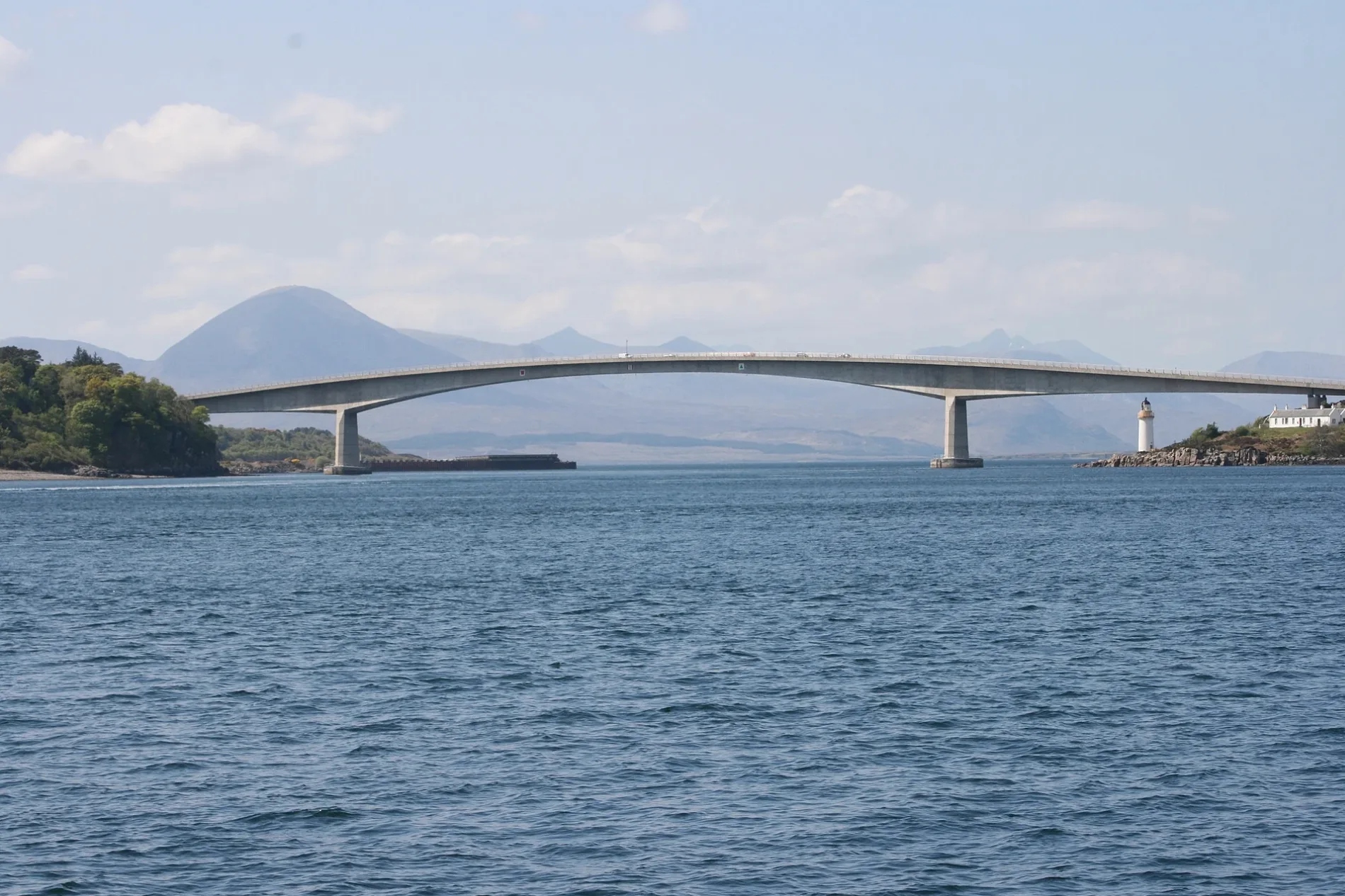
Skye Bridge in Highland
Skye Bridge in Highland is a two-lane, asphalted, unlit expressway. The road has sidewalks. This road is part of the long-distance road "A87". The bus lines 55, 915 and 917 run along this road. Skye Bridge is also known as Skye-Brücke. In the vicinity, there is museum. Ⓦ.
- Road Type
- expressway
- Lanes
- 2
- Speed Limit
- 40 mph
- Operator
- Transport Scotland
Image
Museum
Roads nearby
Crowlin Road600 m
Kyleakin Roundabout600 m
KylesideKyleside Bus Shelter, Kings Arms Hotel, Castle Moil restaurant and gift shop, Teko the Otter
650 m
Carrich Viaduct650 m
Achmore Road700 m
Olaf Road750 m
Church RoadThe Nice Cafe, Free Church of Scotland, Bus Shelter
800 m
Charles Cameron Place800 m
King StreetInvergordon, 9. Pipes and Drams, Bonnie Bhaji, D Gilmour, A Cut Above The Rest, Kingussie Picture Framers & Art Gallery, John Ross Funeral Services, Lunar, Tain Tanning Beauty & Nail, Highland Hospice, Bottom of Brae
800 m
Apartment buildings nearby
46,48,50,52750 m
2,4,6,8750 m
10,12,14,16800 m
22,24,26,28800 m
Buildings nearby
Kyle House500 m
Achmore Court650 m
Pinewood650 m
3,4,5650 m
Schiehallion700 m
1,2700 m
1A, 1B700 m
1C, 1D750 m
1, 3750 m
Kings Arms Hotel750 m
The Old Schoolhouse850 m
Old Mission House850 m
Community centres nearby
Kyleakin Community Centre550 m
Detached houses nearby
Kyleakin Connections850 m
Hotel nearby
Isle of Skye Guesthouse700 m
Houses nearby
Altavik550 m
Heatherlea550 m
Ardmhor550 m
Interior decorators nearby
Handley and Co700 m
Places of worship nearby
Kyleakin Church of Scotland800 m
Residential buildings nearby
42,44750 m
38,40750 m
37,39750 m
29,31750 m
34,36750 m
30,32800 m
25,27800 m
17,19800 m
35800 m
Heron View800 m
33800 m
18,20800 m
23800 m
13,15800 m
The Saltings800 m
Sports pitches nearby
Kyleakin FC800 m
| Inception | 1995 |
|---|---|
| Opening | 1995 |
| Material | concrete, steel |
| Height | 35 m |
| Length | 500 m |
| Located in | Highland |
| Country | United Kingdom |
| Crosses | Loch Alsh |
| Carries thoroughfare | A87 road |
 Public transport map Highland Legend
 | Railway | |
| Bus | |
| Tram |
 Cycling map Highland Legend
 | Cycle path | |
| Cycle lane on road | |
| Cycling on bus lane | |
| Bicycle street | |
| Cyclists allowed | |
| Cyclists allowed, good surface | |
| No cycling | |
| Cobblestones |
| Long-distance cycle route | (depending on scale) | |
| Long-distance cycle route |
 Walking map Highland Legend
 | Path |
| Long-distance hiking trail | (depending on scale) | |
| Long-distance hiking trail | ||
| No pedestrians |