
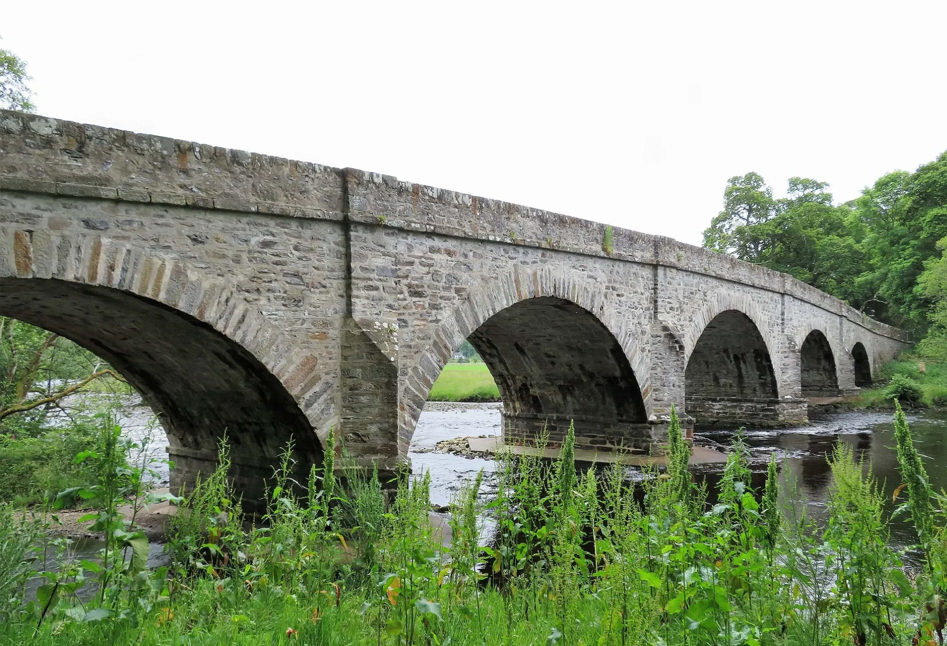
Struy Bridge in Highland
Struy Bridge in Highland is a single-lane, unlit main road. It runs in a north-south direction and ends in a cul-de-sac. This road is part of the long-distance road "Gritting Priority 1 roads" and the mountain bike routes Highland Trail 550 and Great North Trail (Northern Highlands).
- Road Type
- main road
- Lanes
- 1
- Speed Limit
- 40 mph
- Route
- north-south
Image
Body of waters nearby
Loch a' Mhuilinn2,1 km
Loch na Beiste2,1 km
Loch Reineachan4,1 km
Lochan Fada4,2 km
Loch Neaty4,5 km
Loch Caillte4,6 km
Loch Garbh Iolachan5,2 km
Aigas Loch5,3 km
Loch Garbh Bhreac5,3 km
Mill Dam6,0 km
Loch Càrn nam Badan6,1 km
Poll an t-Searraich6,8 km
An Gorm-loch7,0 km
Buildings nearby
Struy Telephone Exchange600 m
Reception2,8 km
The Magnus House5,7 km
Aigas Field Centre5,9 km
Mains of Aigas5,9 km
Cemeteries nearby
Struy Cemetery100 m
Chisholm cemetery1,1 km
Forests nearby
Struy Wood600 m
Trover Wood4,6 km
Guest house nearby
Erchless Castle1000 m
Hotels nearby
The Struy Inn400 m
The Cnoc Hotel450 m
Places of worship nearby
Struy Church150 m
St Mary's Eskadale5,2 km
Residential areas nearby
Doune House1,2 km
Moalnaceap Cottage6,6 km
Glassburn House6,7 km
Rivers nearby
River Farrar3,2 km
River Beauly5,1 km
Breakachy Burn6,6 km
River Glass6,9 km
Streams nearby
Allt Baile na Cuileach1,9 km
Culligran Burn2,2 km
Allt Mheadhoinn3,0 km
Altt an Sgoltaidh3,2 km
Allt na Criche4,3 km
Allt Dubh-ghlaic4,8 km
Neaty Burn5,1 km
Allt Doire Bhuigh5,2 km
Eskadale Burn5,3 km
Allt na h-Athain6,6 km
Glass Burn6,7 km
Other nearby
Water Outlet2,3 km
Surge Shaft2,6 km
| Heritage designation | category B listed building |
|---|---|
| Located in | Highland, Kiltarlity and Convinth |
| Country | United Kingdom |
| Crosses | River Farrar |
| Carries thoroughfare | A831 road |
 Public transport map Highland Legend
| Railway | |
| Bus | |
| Tram |
 Cycling map Highland Legend
| Cycle path | |
| Cycle lane on road | |
| Cycling on bus lane | |
| Bicycle street | |
| Cyclists allowed | |
| Cyclists allowed, good surface | |
| No cycling | |
| Cobblestones |
| Long-distance cycle route | (depending on scale) | |
| Long-distance cycle route |
 Walking map Highland Legend
| Path |
| Long-distance hiking trail | (depending on scale) | |
| Long-distance hiking trail | ||
| No pedestrians |