
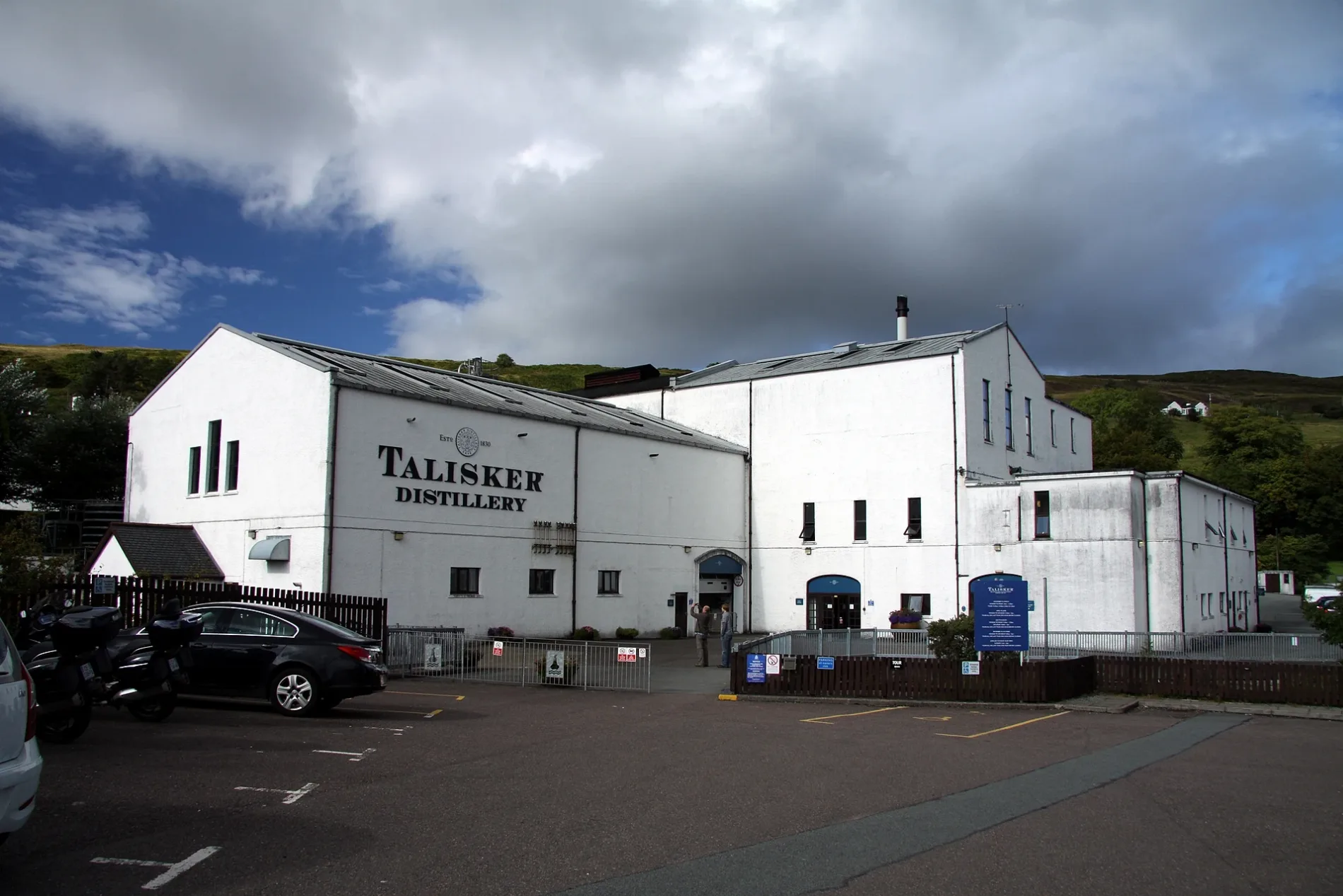
Talisker Distillery in Highland
Talisker Distillery in Highland is an attraction, B8009 Road (IV47 8SR). Ⓦ.
- Postal Code
- IV47 8SR
- Street
- B8009 Road
- Land Use
- industrial area
- Operator
- DIAGEO
- Tourism
- attraction
- Website
- https://www.malts.com/en-row/distilleries/talisker/
Image
Roads nearby
Pairc UilleimTalisker Distillery, Caora Dhubh
100 m
Steele Croft Road500 m
Carbost Hall Road650 m
Carbost Mor Road800 m
Carbost Hill Road900 m
Satran Road2,6 km
Talisker Road2,9 km
Portnalong Cemetery Road3,7 km
Fiskavaig Bay Road4,7 km
Cuckoo Road5,0 km
Body of waters nearby
Loch Fada3,7 km
Loch Sleadale4,5 km
Buildings nearby
Talisker Visitors Centre100 m
Carbost Telephone Exchange1,5 km
Taigh na Fang4,6 km
Community centres nearby
Minginish Community Hall3,8 km
Convenience stores nearby
Community Shop350 m
Forests nearby
Eynort Forest2,9 km
Guest house nearby
Otter Lodge Rental Property1,6 km
Marsco Bed and Breakfast1,6 km
Hostel nearby
Skyewalker Hostel4,1 km
Houses nearby
Tigh Na Maidadh3,2 km
Heatherbrae3,8 km
Seaforth Cottage3,9 km
Places of worship nearby
Fernilea Church of Scotland1,4 km
Playgrounds nearby
Carbost Community Playpark200 m
Post offices nearby
Carbost Post Office350 m
Pubs nearby
The Old Inn200 m
Residential areas nearby
Sealladh Cnoc HeiliaHostel Road End
4,0 km
Restaurants nearby
The Oyster Shed400 m
Cafe Cùil2,6 km
Rivers nearby
Carbost Burn1,6 km
Eynort River4,0 km
River Talisker4,7 km
Streams nearby
Allt nan Tighean700 m
Ardtreck Burn2,1 km
Allt Buaile Shuaine2,2 km
Vikisgill Burn2,9 km
Allt Fionnfhuachd3,0 km
Allt a' Chàirn3,2 km
Allt Leacach3,2 km
Allt Ribhein3,4 km
Allt na Coille3,4 km
All a' Bhathaich3,7 km
Vidigill Burn4,0 km
Eynort Burn4,2 km
Allt Beinn nan Lochan4,3 km
Kearra Burn4,5 km
Allt na Creadha4,7 km
| Inception | 1830 |
|---|---|
| Owner | Diageo |
| Located in | Highland, Bracadale |
| Country | United Kingdom |
| Location | Carbost |
 Public transport map Highland Legend
| Railway | |
| Bus | |
| Tram |
 Cycling map Highland Legend
| Cycle path | |
| Cycle lane on road | |
| Cycling on bus lane | |
| Bicycle street | |
| Cyclists allowed | |
| Cyclists allowed, good surface | |
| No cycling | |
| Cobblestones |
| Long-distance cycle route | (depending on scale) | |
| Long-distance cycle route |
 Walking map Highland Legend
| Path |
| Long-distance hiking trail | (depending on scale) | |
| Long-distance hiking trail | ||
| No pedestrians |