
Tarry Road in Highland
Tarry Road in Highland is a footpath. The road has a width of 1.8 m. It runs in an east-west direction starting from Shore Road and ends at Shore Road. Tarry Road also exists in Angus.
- Road Type
- footpath
- Route
- east-west
Image
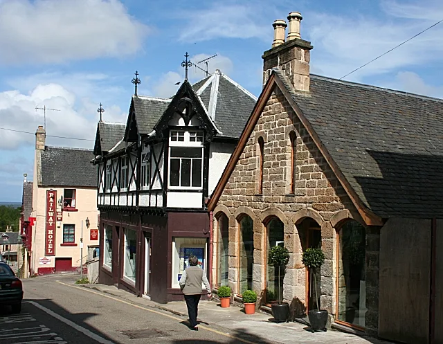
Roads nearby
Gas Works Road50 m
Drummond Street150 m
Shore RoadTartan Creations, Top Up Tap, Post Office, Ferry Stores
150 m
Dunrobin Buildings150 m
Dunrobin StreetHelmsdale Square, Thistle & Rose, La Mirage, Thyme and Plaice, Fish & Chips, Gifted, R. M. McLeods & Sons, Glencoast - Helmsdale. Fishing tackle
200 m
Academy StreetDuthac House, IV 10, Victoria Road, Rosebank School, Virgin and Child
200 m
Chapel Street250 m
Murray Street250 m
Laundry Lane250 m
Hill StreetTain Laundry & Ironing, Dingwall Hill Street (o/s Royal Hotel), The Royal Guest House, Fraser Brothers Family Butchers, Tailwaggers Dog Grooming Salon, Barber Shop
250 m
Rose StreetLadbrokes, Clarks of Nairn
250 m
Tower Street250 m
Quarry Lane250 m
Ardross Terrace250 m
Well StreetCarnegie Cafe
300 m
Manse Street350 m
Ivy Lane350 m
Morangie RoadHome Bargains, Morangie House Hotel
400 m
St Duthus Street400 m
Glebe Crescent400 m
Provost Ferguson Drive400 m
Mayfield Wynd400 m
Manse Crescent450 m
Scotsburn Court500 m
Moss Road500 m
St Andrew's Road500 m
Victoria RoadGulf, Road End, Victoria Garage, St Marys School, Saint Andrew's Guest House, Stobahn B&B, Ardmory B&B, Gleaner, Sutherland Arms
600 m
Manse Gardens600 m
Viewhill Crescent650 m
Craighill TerraceCraighill Primary
750 m
Mansefield Road750 m
Bakeries nearby
William Grant Bakery350 m
Banks nearby
Bank of Scotland250 m
Beauty salons nearby
Tranquility Health and Beauty300 m
Buildings nearby
Tain Telephone Exchange500 m
Car repair shops nearby
Godsman Tyres & Exhausts Ltd400 m
Cinemas nearby
Tain Picture House300 m
Detached houses nearby
Taligus500 m
Fitness centres nearby
Silverback Gym & Fitness400 m
Guest house nearby
Heatherdale300 m
The Springfield Guest House450 m
Hotels nearby
St. Duthus Hotel200 m
The Royal Hotel Tain350 m
Industrial areas nearby
Blarlaith Industrial Estate300 m
Laundries nearby
Shore Road Laundry200 m
Museum nearby
Tain & District Museum300 m
Places of worship nearby
St Andrew's Episcopal Church300 m
Tain Free Church500 m
Residential areas nearby
Mansfield Estate600 m
 Public transport map Highland Legend
| Railway | |
| Bus | |
| Tram |
 Cycling map Highland Legend
| Cycle path | |
| Cycle lane on road | |
| Cycling on bus lane | |
| Bicycle street | |
| Cyclists allowed | |
| Cyclists allowed, good surface | |
| No cycling | |
| Cobblestones |
| Long-distance cycle route | (depending on scale) | |
| Long-distance cycle route |
 Walking map Highland Legend
| Path |
| Long-distance hiking trail | (depending on scale) | |
| Long-distance hiking trail | ||
| No pedestrians |