
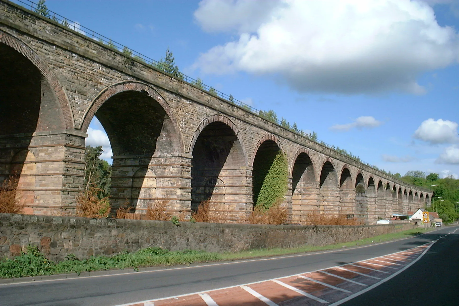
Lothianbridge Viaduct in Midlothian
Lothianbridge Viaduct in Midlothian is a railway line (Network Rail, 1435 mm, branch line). The train routes Tweedbank => Edinburgh and Edinburgh => Tweedbank run along this road. Ⓦ.
- Speed Limit
- 60 mph
- Operator
- Network Rail
Image
Bicycle shops
Hairdressers
Stations
Bus stops
Roads nearby
Victoria Gardens300 m
Victoria Road400 m
Dalhousie RoadDalhousie Road (Lothian Bridge), Dalhousie Road, Eskbank, StusBikeShed
450 m
Redwood Grove500 m
Redwood Walk600 m
Hardengreen Roundabout600 m
Bryans RoadScotmid, Hamilton Crescent, Bryans Avenue, Park Road
600 m
Station RoadMutts Cycles, Blakes Barbers, Scotbet, Station Road, Scotmid
600 m
Bonnyrigg DistributorBurnbrae Road, Burnbrae Terrace
600 m
Peacock Avenue650 m
Old Star Road650 m
Galadale Drive650 m
Peacock Parkway650 m
Newbattle Abbey CrescentNewbattle
650 m
New Star Bank700 m
Burnhead Road700 m
Abbey Grange700 m
Longmuir Place700 m
Peddie Road750 m
Kinnear Drive750 m
Newbattle RoadNewbattle Abbey Crescent, Newbattle Cemetery, Unicorn, Galadale, Eskbank Toll, Ancrum Bank
750 m
Peacock Place750 m
Silverheugh Drive750 m
Galadale Crescent750 m
Main StreetSt Anne's Court, Gorebridge Inn, Gorefry, Gorebridge Post Office, Wilmo's, New Wong's, Orchid, The Station Cafe, The Family Dental Practice, Pathhead Post Office, Bowling Green, Roman Camp, Oxenfoord Avenue, Crichton Avenue, Pathhead Pharmacy, Day-Today express, Roslin Institute, Screwfix, Toolstation, Primrose Gardens, Dewartown, Roslin, Station Road, Original Rosslyn Hotel, Springfield Place, Affleck's, Beauty By Amy, Roslin Dental Practice, Roslin Mini Market, Dolly’s Tearoom, Newtongrange, Fourth Street, Dean Park Place, The BARBER Shop, Nitten Food Box, Main Street Convenience Store
800 m
Brixwold Drive800 m
Kilconquhar Place800 m
Dean ParkThe Dean Tavern
850 m
Bellcote Lane850 m
Big Brigs WayJeanette Steward Drive
850 m
Murderdean RoadNewtongrange, Chapter One
900 m
Matthews Drive900 m
Dean Park Place900 m
Jenks LoanJenks Loan, Newtongrange
900 m
Dean Park Court950 m
Newtongrange Place1,0 km
Burn Grange Park1,0 km
Buildings nearby
Swift Private Hire650 m
Cockpen Tower1,0 km
Campsite nearby
Lothian Bridge Caravan Park50 m
Industrial buildings nearby
Bryans Road DG600 m
Railway lines nearby
Borders Railway250 m
Hardengreen Bridge600 m
Recreation grounds nearby
Newbattle Bowling Club800 m
Rivers nearby
River South Esk600 m
Sports centres nearby
New Victoria Park400 m
Newtongrange Leisure Centre950 m
Sports pitches nearby
Newtongrange Star F.C.350 m
Other nearby
Hardengreen CSO650 m
| Inception | 1847 |
|---|---|
| Material | rock |
| Heritage designation | category B listed building |
| Located in | Midlothian, Newbattle |
| Country | United Kingdom |
| Crosses | River Esk |
| Carries thoroughfare | Borders Railway |
| Part of | Waverley Route |
 Public transport map Midlothian Legend
| Railway | |
| Bus | |
| Tram |
 Cycling map Midlothian Legend
| Cycle path | |
| Cycle lane on road | |
| Cycling on bus lane | |
| Bicycle street | |
| Cyclists allowed | |
| Cyclists allowed, good surface | |
| No cycling | |
| Cobblestones |
| Long-distance cycle route | (depending on scale) | |
| Long-distance cycle route |
 Walking map Midlothian Legend
| Path |
| Long-distance hiking trail | (depending on scale) | |
| Long-distance hiking trail | ||
| No pedestrians |