
Holy Island in North Ayrshire
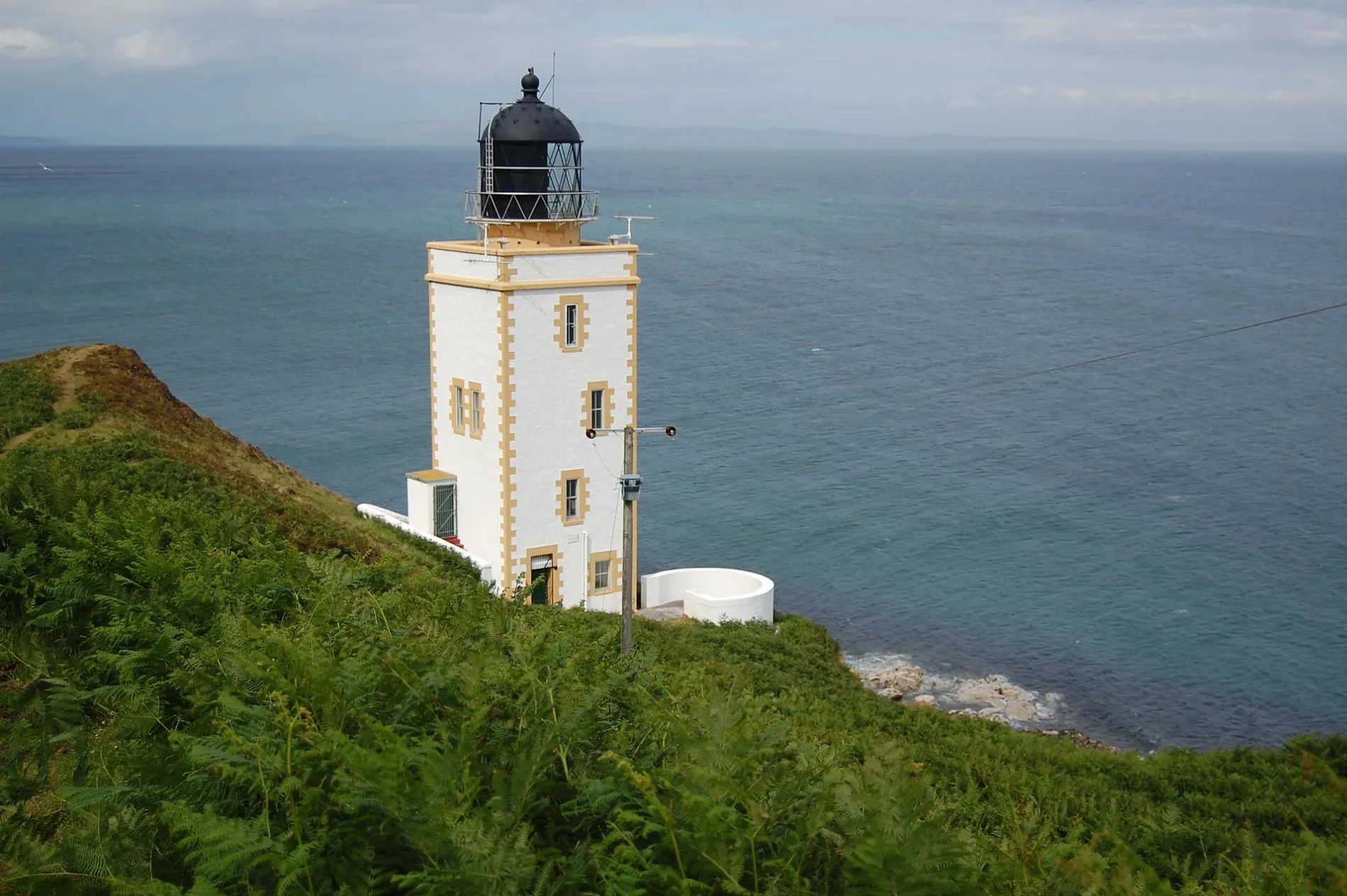
Holy Island in North Ayrshire is a Coastline. Holy Island is also known as Holy Isle, Firth of Clyde. Ⓦ.
- Nature
- coastline
Image
Restaurants
Convenience stores
Cafés
Bus stops
Roads nearby
Robins Croft2,3 km
Sandbraes Road3,1 km
Fen PlaceFen Place
3,1 km
Barn BraeChurch, Seawinds Playing Fields
3,2 km
Canberra BraePrimary School
3,6 km
Whiting Bay to Brodick(section)Prospecthill
3,7 km
Clauchlands Road3,9 km
Smithy Brae3,9 km
Hospital RoadHospital
4,0 km
Croftside4,0 km
Kinneil ParkBlairbeg
4,0 km
Kilbride Road4,0 km
Millhill Crescent4,1 km
Bungalow Road4,1 km
Margnaheglish RoadMargnaheglish
4,1 km
Silverburn RoadBay Wool & Crafts, M.B.S. Building & Timber Supplies, Pier Craft Centre, Craft Centre
4,2 km
Rosemount Road4,2 km
Nature nearby
Hamilton Rock3,1 km
Buildings nearby
Holy Isle Outer or Pillar Rock Lighthouse750 m
Holy Isle Inner Lighthouse1,3 km
Point House2,0 km
Summer Cottage2,0 km
Arran Outdoor Education Centre3,4 km
Clauchlands Cottage3,8 km
Whiting Bay Telephone Exchange4,0 km
The Pillar Box4,2 km
The Shore4,2 km
Kilbride Chapel4,2 km
Whiting Bay Community Hall4,2 km
Bunkers nearby
Clauchland' Point Lookout3,3 km
Cafés nearby
Coast4,1 km
Cemeteries nearby
Kilbride Cemetery4,2 km
Chalet nearby
Oakbank Farm3,5 km
Churches nearby
St George's United free Church4,0 km
Farmyards nearby
The Knowe Farm3,1 km
Hawthorne Farm3,6 km
Mount Pleasant Farm3,6 km
Clauchlands Farm4,1 km
Golf courses nearby
Whiting Bay Golf Club4,3 km
Grass nearby
KX - Scripture Union Scotland2,2 km
Guest house nearby
Burlington Guest House3,5 km
Hotels nearby
Altachorvie3,8 km
Houses nearby
Bank House4,1 km
Nature reserves nearby
Lamlash Bay No Take Zone3,1 km
Streams nearby
Kingscross Burn2,9 km
Auchencairn Burn3,3 km
Fairy Glen4,1 km
Woodlands nearby
Clauchlands Wood4,1 km
Other nearby
Brodick - Campbeltown (Summer only)3,4 km
| Elevation | 1030 |
|---|---|
| Located in | North Ayrshire, Kilbride |
| Country | United Kingdom |
| Body of water | Firth of Clyde |
 Public transport map North Ayrshire Legend
| Railway | |
| Bus | |
| Tram |
 Cycling map North Ayrshire Legend
| Cycle path | |
| Cycle lane on road | |
| Cycling on bus lane | |
| Bicycle street | |
| Cyclists allowed | |
| Cyclists allowed, good surface | |
| No cycling | |
| Cobblestones |
| Long-distance cycle route | (depending on scale) | |
| Long-distance cycle route |
 Walking map North Ayrshire Legend
| Path |
| Long-distance hiking trail | (depending on scale) | |
| Long-distance hiking trail | ||
| No pedestrians |