
Churchill Barrier 4 in Orkney
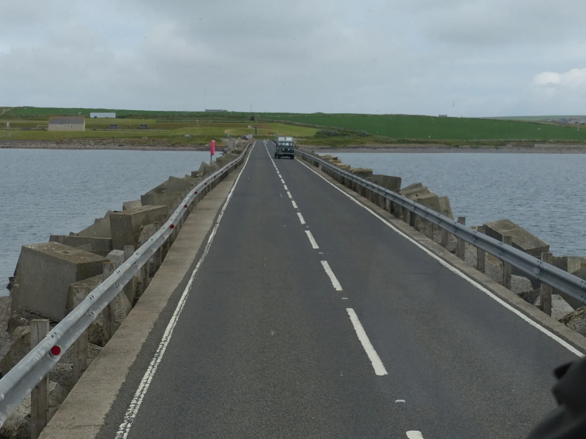
Churchill Barrier 4 in Orkney Islands is a two-lane, asphalted, unlit main road. The road has no sidewalks. There is no cycle path. It runs in a northeast-southwest direction and ends in a cul-de-sac. This road is part of the bicycle route "EuroVelo 12 - North Sea Cycle Route - part United Kingdom 9". Ⓦ.
- Bicycle
- yes
- Road Type
- main road
- Lanes
- 2
- Route
- northeast-southwest
Image
Roads nearby
Ness RoadPolly Kettle Tearoom and crafts, Loch - formerly Housebreck Quarry, Ness
600 m
Honeysgeo RoadAyre of Cara, Cara Road End
650 m
Leaburn700 m
Pier Road750 m
Village RoadBurray, Shop
800 m
Soutbreck Road950 m
Sunfield1,0 km
Lairds Road1,0 km
Upper Waston Road1,0 km
Bu RoadThe Bu of Burray
1,2 km
Bloomfield Road1,4 km
Viewforth RoadBurray Community cafe & Fossil museum, Viewforth, Fossil and Heritage Centre, shop and cafe
1,5 km
Shops nearby
Seaview Stores700 m
Body of waters nearby
Echna Loch1,3 km
Buildings nearby
Burray Boatyard800 m
Kerr Carpentry800 m
Store / workshop (site of the new St Lawrence's church 1875-1931))1,1 km
Burray Telephone Exchange1,2 km
Former Baptist Chapel (1848-1966)1,2 km
The Gables1,2 km
Hallbreck1,4 km
Echnaview1,4 km
Mill O' Cara (former watermill c18 grain)1,5 km
Car repair shops nearby
Lawrona Garage850 m
Community centres nearby
Burray Hall800 m
Constructions nearby
1-4 Burnbank- under construction450 m
Copy shops nearby
Mail Boxes Etc.1,5 km
Farmyards nearby
Pole700 m
Southbreck750 m
Southfield800 m
North Cara1000 m
Grutha1,1 km
Leith1,4 km
Brance1,5 km
Hotels nearby
Sands Hotel700 m
Houses nearby
Ayre of Cara650 m
Upper Faulds950 m
Breck950 m
Wavecrest1,2 km
Esperance1,2 km
Ashby1,2 km
Lower Lochhouse1,3 km
Bloomfield1,5 km
Military areas nearby
Former South Burray Blockyard550 m
WW2 Coastal Battery800 m
Recreation grounds nearby
Burray Play Park700 m
Ruins nearby
Canton (ruins)850 m
Old Grutha (ruins)1,2 km
Streams nearby
Burn of Sutherland1,1 km
| Located in | Orkney Islands |
|---|---|
| Country | United Kingdom |
 Public transport map Orkney Islands Legend
| Railway | |
| Bus | |
| Tram |
 Cycling map Orkney Islands Legend
| Cycle path | |
| Cycle lane on road | |
| Cycling on bus lane | |
| Bicycle street | |
| Cyclists allowed | |
| Cyclists allowed, good surface | |
| No cycling | |
| Cobblestones |
| Long-distance cycle route | (depending on scale) | |
| Long-distance cycle route |
 Walking map Orkney Islands Legend
| Path |
| Long-distance hiking trail | (depending on scale) | |
| Long-distance hiking trail | ||
| No pedestrians |