
Auchterarder in Perth and Kinross
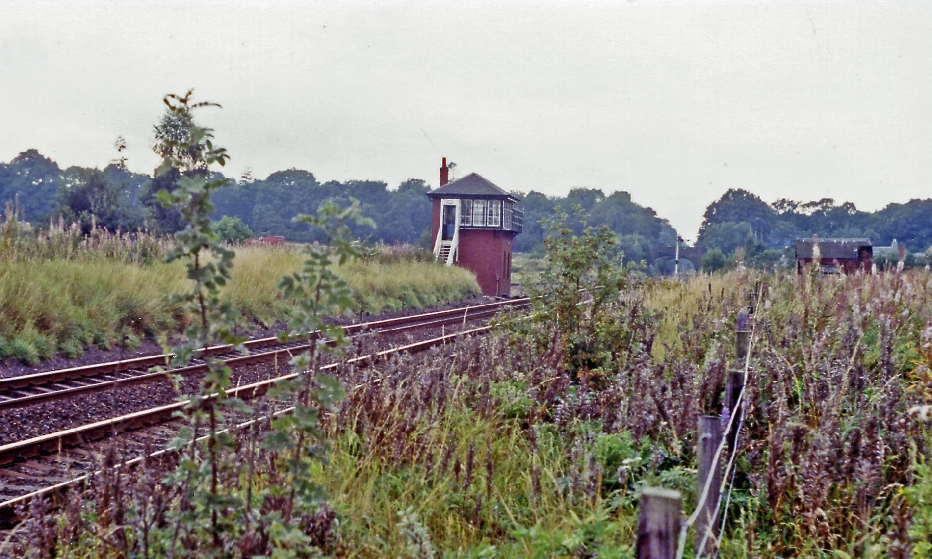
Auchterarder in Perth and Kinross ist eine Bahnanlage (Network Rail). Auchterarder is also known as Auchterarder Signal Box. Ⓦ.
- Alternative Name
- Auchterarder Signal Box
- Building Type
- railway
- Operator
- Network Rail
Image
Dentist
Convenience stores
Holiday apartment
Petrol stations
Chalet
Pubs
Platforms
Farm shops
Bus stops
Post offices
Pharmacy
Caravan site
Stations
Roads nearby
Johnny Mathies Road350 m
Mill Lade Court650 m
Abbey RoadRobert Douglas Memorial Home, Abbey Terrace, Spar
650 m
Cloan Drive700 m
Millview Close700 m
Priory PlaceCurry House, Post Office
700 m
Canmore Place700 m
Ochil View750 m
Lundies Walk750 m
Abbey Park750 m
Kirkfield PlaceLittle Dunkeld Church
800 m
Milton Place800 m
Milton Crescent800 m
Ruthven Street850 m
Montrose Road900 m
Bridgewater Avenue900 m
Carlownie Place900 m
St Kattan Place900 m
Kincardine Road950 m
Broadwood View950 m
Belvidere Lane1000 m
Lundies Court1000 m
St Bean Court1000 m
Queen's Terace1000 m
Belvidere Place1000 m
St Serfs Place1,0 km
Abbotsfield Terrace1,0 km
Foswell Place1,0 km
Belvidere, Crown Wynd1,0 km
Abbey Terrace1,0 km
Scouthall Lane1,1 km
Leadmill Lane1,1 km
John Law Court1,1 km
Castle Wynd1,2 km
Amenities nearby
Cheeky Monkeys1,0 km
Commercial buildings nearby
Delivino1,0 km
Farmyards nearby
Eastmill Farm850 m
Hotels nearby
Craigrossie Hotel1,1 km
Houses nearby
1, Ruthvenbank700 m
Butend750 m
Ruthvenvale Terrace750 m
Geddochie Cottage1000 m
Parks nearby
Kincardine Park850 m
Places of worship nearby
Auchterarder Parish Church1,0 km
Police stations nearby
Auchterarder Police Station1,1 km
Railway lines nearby
Glasgow to Perth200 m
Residential areas nearby
Kincardine Castle850 m
Social facilities nearby
Balhousie Ruthven Towers950 m
Streams nearby
Ruthven Water550 m
| Named after | Auchterarder |
|---|---|
| Opening | 1848 |
| Located in | Perth and Kinross |
| Country | United Kingdom |
| Location | Auchterarder |
 Public transport map Perth and Kinross Legend
| Railway | |
| Bus | |
| Tram |
 Cycling map Perth and Kinross Legend
| Cycle path | |
| Cycle lane on road | |
| Cycling on bus lane | |
| Bicycle street | |
| Cyclists allowed | |
| Cyclists allowed, good surface | |
| No cycling | |
| Cobblestones |
| Long-distance cycle route | (depending on scale) | |
| Long-distance cycle route |
 Walking map Perth and Kinross Legend
| Path |
| Long-distance hiking trail | (depending on scale) | |
| Long-distance hiking trail | ||
| No pedestrians |