
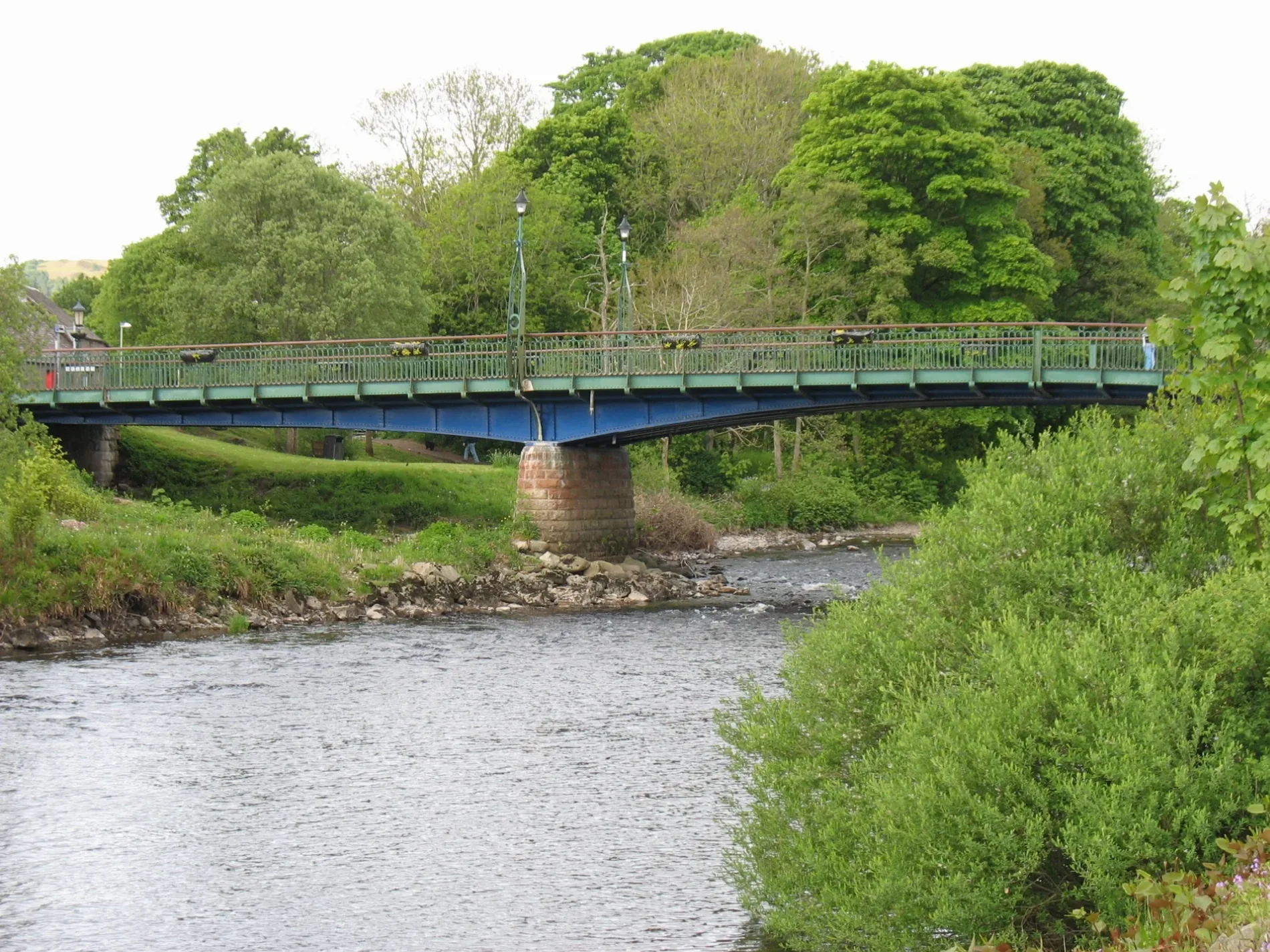
Dalginross Bridge in Perth and Kinross
Dalginross Bridge in Perth and Kinross is a two-lane, asphalted, lit secondary road. The road has sidewalks (paving stones). There is no cycle path. It runs in a southeast-northwest direction starting from Bridge Street and ends at Bridge Street. This road is part of the hiking trail "Three Saints Way".
- Road Type
- secondary road
- Lanes
- 2
- Speed Limit
- 20 mph
- Route
- southeast-northwest
Image
Bank
Beauty salons
Butcher's
Craft shops
Bakeries
Bar
Fabric shops
Convenience stores
Hotels
Greengrocers
Charity shops
Antique shops
Pharmacy
Delicatessens
Cafés
Post offices
Bus stops
Pet shops
Gift shops
Restaurants
Fast food restaurants
Hairdressers
Roads nearby
Bridge StreetDunkeld Butchers, Davidsons Chemists, Co-op Food, Earn Equestrian & Country Sports, Ella's, Timeless Art, Comrie, RBS, Comrie Crieff Post Office
100 m
Commercial LaneCuriosities gift shop, Be Courie
100 m
Melville SquareRoyal Hotel, The Royal Hotel
100 m
Dunira StreetCarrick Coffee shop, White Church Comrie, Comrie pet shop, Comrie Cancer Club, Comrie fish and chip shop
100 m
Melville LaneRoyal bar
150 m
Dinnie's Lane150 m
Drummond StreetMorrisons Daily, Premier, Senses face and body spa, Cafe Comrie, David Comrie and Son, The Handy Shop, Campbell's Bakery, Davidsons Chemists, Hansons kitchen, McIntyre Hair Design, The Fabric Studio, Urquhart Glass, Comrie Hotel
150 m
Field of Refuge150 m
Ancaster Lane150 m
Back o Toon Lane200 m
School RoadGuildtown, Kettins
200 m
Pudding Lane200 m
Queens Road250 m
Dukes Road250 m
Manse Lane250 m
Nurse's Lane300 m
Dalginross Gardens350 m
Bobs Yard350 m
Kintyre Lane350 m
Glebe Road350 m
Earn Place400 m
Glebe Square400 m
Bridge of Lednock400 m
Arnottsfield400 m
Dalginross500 m
Buildings nearby
War Memorial Institute100 m
Masonic Lodge250 m
W15300 m
W17350 m
W14350 m
W16350 m
W13350 m
W18350 m
W19350 m
W12350 m
W10400 m
W20400 m
Comrie Telephone Exchange400 m
W34400 m
W21400 m
W33400 m
Comrie Golf Club House500 m
Community centres nearby
Comrie Community Centre100 m
Parks nearby
St Kessog's Square100 m
Legion park250 m
Places of worship nearby
St Margaret's450 m
St Serf's450 m
Retail buildings nearby
Low cost store50 m
Social facilities nearby
Dalginross House300 m
| Inception | 1904 |
|---|---|
| Heritage designation | category C listed building |
| Located in | Perth and Kinross, Comrie |
| Country | United Kingdom |
| Crosses | River Earn |
| Carries thoroughfare | B827 road |
| Location | Comrie |
 Public transport map Perth and Kinross Legend
| Railway | |
| Bus | |
| Tram |
 Cycling map Perth and Kinross Legend
| Cycle path | |
| Cycle lane on road | |
| Cycling on bus lane | |
| Bicycle street | |
| Cyclists allowed | |
| Cyclists allowed, good surface | |
| No cycling | |
| Cobblestones |
| Long-distance cycle route | (depending on scale) | |
| Long-distance cycle route |
 Walking map Perth and Kinross Legend
| Path |
| Long-distance hiking trail | (depending on scale) | |
| Long-distance hiking trail | ||
| No pedestrians |