
Gilberts Bridge in Perth and Kinross
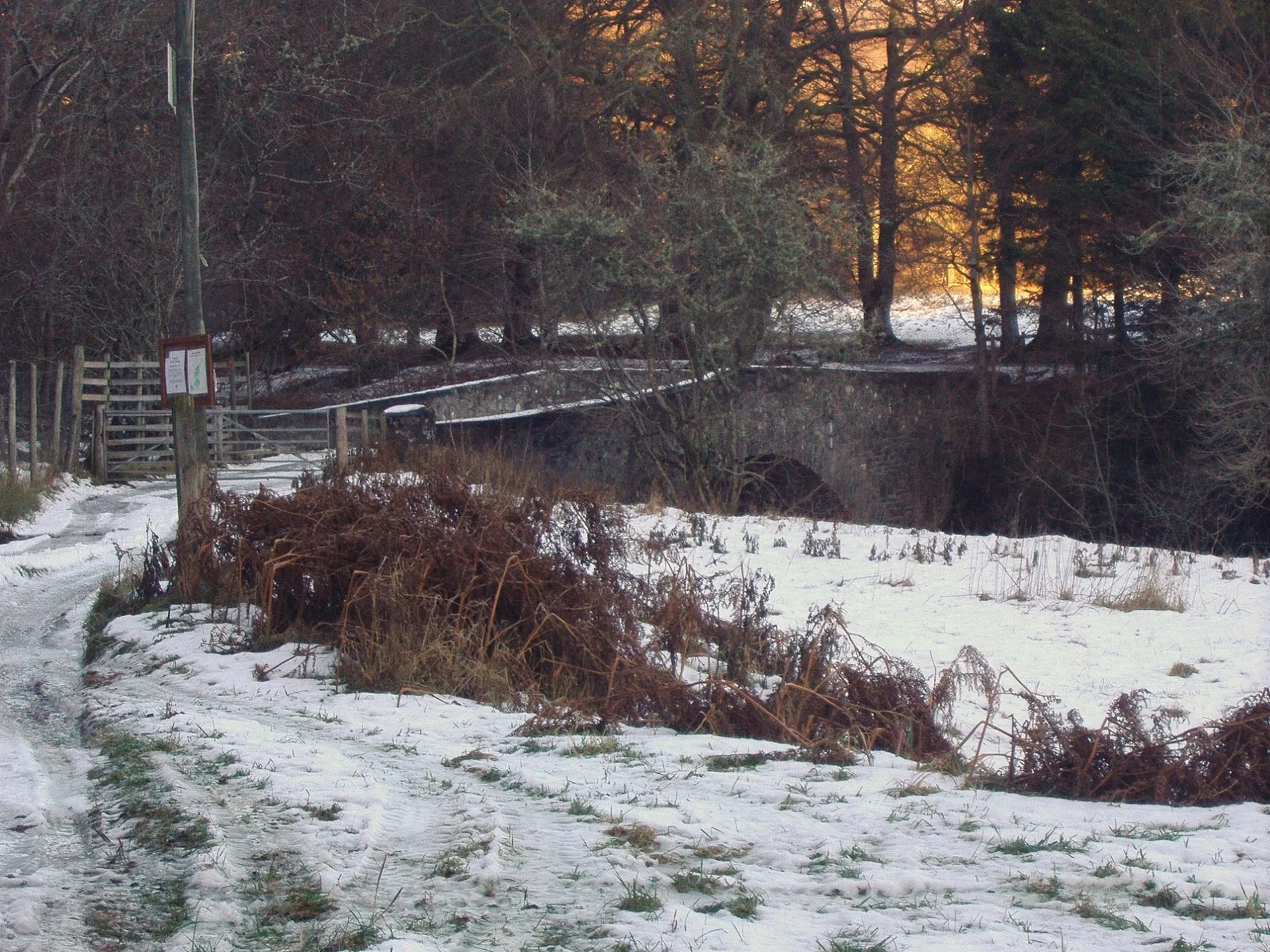
Gilberts Bridge in Perth and Kinross is a track (semi-solid). It runs in a northeast-southwest direction and ends in a cul-de-sac. Gilberts Bridge is also known as Gilbert's Bridge. This road is part of the hiking trail "Glen Tilt Trail".
- Road Type
- track
- Route
- northeast-southwest
Image
Convenience stores
Restaurants
Petrol stations
Jewellers
Doctor's office
Post offices
Tourist information offices
Hotels
Artwork
Ticket shops
Museum
- Atholl Country Life Museum (web) (PH18 5SP) – approx. 4,7 km.
Car repair shops
Guest house
Gift shops
Pubs
Roads nearby
Cumhann-leum BridgeGlen Tilt Woods
1,6 km
New Bridge2,4 km
Gaw's Bridge2,6 km
Fender BridgeFenderbridge
3,4 km
Wade's Bridge RoadOld Bridge of Tilt
3,7 km
Minigaig Street3,7 km
Bridge Of Tilt4,6 km
Invertilt RoadBridge of Tilt, The Loft Restaurant
4,7 km
The LaneThe Firs
4,7 km
Leisure nearby
Jubilee Range500 m
Buildings nearby
Tirinie House2,5 km
Aldandulish2,6 km
Kincraigie2,6 km
Reservoir3,5 km
Tom of Lude3,6 km
River Tilt Grotto3,8 km
Poultry Cottage4,2 km
Lude House4,5 km
Steadings Spa4,7 km
Campsite nearby
Blair Castle Caravan Park4,1 km
Farmyards nearby
Croftmore1,2 km
Lower Tirinie2,8 km
Tomnaguie2,8 km
Mualichbeg2,9 km
Monzie3,3 km
Bailanloan3,3 km
Fast food restaurants nearby
Craft Beer Centre4,7 km
Forests nearby
Blairuachdar Wood3,1 km
Diana's Grove4,1 km
Gardens nearby
Hercules Garden3,8 km
Hotels nearby
Bridge of Tilt Hotel4,6 km
Parks nearby
Blair Castle4,2 km
Places of worship nearby
St Bride's Kirk (remains of)3,8 km
Kilmaveonaig, St Adamnan’s4,3 km
Residential areas nearby
Upper Tirinie2,7 km
Mualichmore2,9 km
Tomnabrack3,1 km
Residential buildings nearby
Old Blair3,7 km
Rivers nearby
River Tilt2,6 km
Streams nearby
Allt Fas-charaidh400 m
Allt na Bà1,6 km
Allt Diridh2,1 km
Allt Slanaidh2,3 km
Allt Sron an Duine2,5 km
Fender Burn2,9 km
Allt na Moine Baine2,9 km
Allt Craoinidh4,4 km
Valleies nearby
Glen Tilt2,2 km
Glen Fender2,6 km
| Located in | Perth and Kinross, Blair Atholl |
|---|---|
| Country | United Kingdom |
| Crosses | River Tilt |
| Carries thoroughfare | unclassified road |
 Public transport map Perth and Kinross Legend
| Railway | |
| Bus | |
| Tram |
 Cycling map Perth and Kinross Legend
| Cycle path | |
| Cycle lane on road | |
| Cycling on bus lane | |
| Bicycle street | |
| Cyclists allowed | |
| Cyclists allowed, good surface | |
| No cycling | |
| Cobblestones |
| Long-distance cycle route | (depending on scale) | |
| Long-distance cycle route |
 Walking map Perth and Kinross Legend
| Path |
| Long-distance hiking trail | (depending on scale) | |
| Long-distance hiking trail | ||
| No pedestrians |