
Lower Bridge in Perth and Kinross
Lower Bridge in Perth and Kinross is a path. It runs in a northeast-southwest direction and ends in a cul-de-sac. Lower Bridge is also known as Lower Falls of Bruar, Footbridge.
- Road Type
- path
- Route
- northeast-southwest
Image
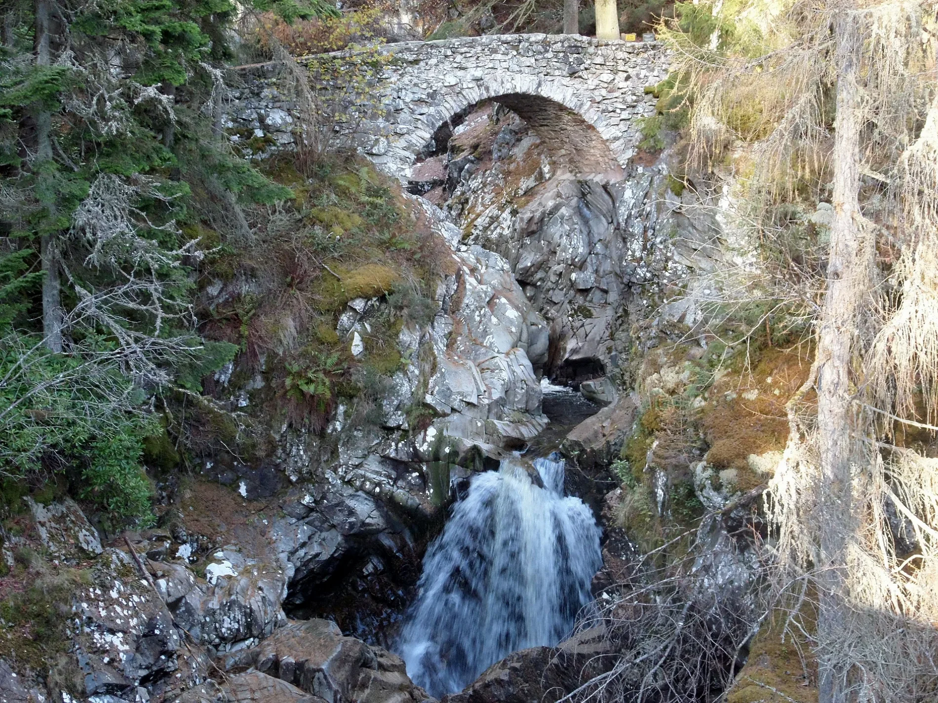
Tourist information offices
Ticket shops
Stations
Parking
Roads nearby
Upper Bridge550 m
Old Struan RoadStruan, Old Struan
1,9 km
Drochaid na h-Uinneige2,9 km
Minigaig Street4,9 km
Tulloch RoadFairfield (opp), Fairfield (at), Tulloch Terrace (opp), Bruce Crescent (opp), Bruce Crescent (at), Tulloch Terrace (at), A & B Garage
5,3 km
Attraction nearby
House of Bruar550 m
Body of waters nearby
Loch Bhac3,9 km
Loch nan Nighean5,1 km
Lochan na Càrr5,2 km
Buildings nearby
Bruar Lodge350 m
Tom-na-Cuag1,2 km
Easter Kindrochet1,2 km
Calvine Telephone Exchange1,5 km
Kindrochet Lodge2,0 km
Reservoir4,4 km
Cuilltemhuc4,9 km
Chalet nearby
Calvine Holiday Park1,9 km
Cliffs nearby
Craig Urrard2,9 km
Farmyards nearby
Pitaldonich1,2 km
Tomban1,5 km
Invervack2,4 km
Balnansteuartach2,8 km
Forests nearby
Baluain Wood2,1 km
Diana's Grove4,7 km
Houses nearby
Wester Baluain1,3 km
Glebe Steading1,4 km
Places of worship nearby
St Bride's Kirk (remains of)4,9 km
Railway lines nearby
Highland Main Line2,8 km
Residential buildings nearby
Banvie House1,8 km
Clunes Lodge3,8 km
Old Blair4,8 km
Retail buildings nearby
Clearance Shop350 m
Rivers nearby
Bruar Water4,5 km
Service buildings nearby
Bruar Hydro Substation2,1 km
Streams nearby
Allt Anaghlais3,0 km
Allt Bhaic3,3 km
Banvie Burn3,5 km
Allt Feith nam Fearna3,6 km
Allt Ghramaich3,9 km
Allt a' Chrombaidh4,1 km
Allt nan Cuinneag4,2 km
Feith na Duibhe4,2 km
Allt a' Choire Bhuidhe4,2 km
Allt na Cuinneig4,7 km
Allt na Moine Baine5,0 km
Allt Cuiltemhuc5,0 km
Allt Fearn5,1 km
Allt an t-Seapail5,2 km
Glen Fincastle Burn5,3 km
| Located in | Perth and Kinross, Blair Atholl |
|---|---|
| Country | United Kingdom |
| Crosses | Bruar Water |
| Carries thoroughfare | footpath |
| Location | Falls of Bruar |
 Public transport map Perth and Kinross Legend
| Railway | |
| Bus | |
| Tram |
 Cycling map Perth and Kinross Legend
| Cycle path | |
| Cycle lane on road | |
| Cycling on bus lane | |
| Bicycle street | |
| Cyclists allowed | |
| Cyclists allowed, good surface | |
| No cycling | |
| Cobblestones |
| Long-distance cycle route | (depending on scale) | |
| Long-distance cycle route |
 Walking map Perth and Kinross Legend
| Path |
| Long-distance hiking trail | (depending on scale) | |
| Long-distance hiking trail | ||
| No pedestrians |