
Baddinsgill Burn in Scottish Borders
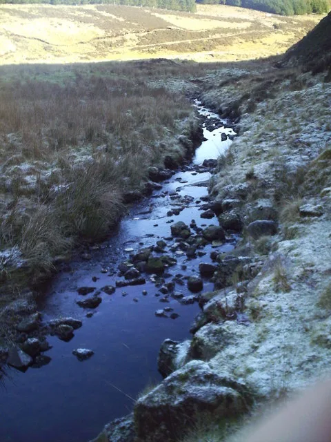
Baddinsgill Burn in Scottish Borders is a stream.
- Waterway Type
- stream
Image
Roads nearby
Thieves Road1,3 km
The LoanCastle Field, Gattonside
3,5 km
Medwyn Drive3,7 km
ROMAN ROAD (course)Mendick Foot
3,7 km
Medwyn Road3,7 km
Body of waters nearby
Baddinsgill Reservoir800 m
West Water Reservoir2,6 km
Buildings nearby
Baddinsgill House900 m
Wester Hazlieburn House3,5 km
West Linton Golf Club3,5 km
Cherrytrees3,7 km
Cliffs nearby
Wolf Craigs2,5 km
Cloven Craig3,3 km
Farmyards nearby
Baddinsgill Farm550 m
Stonypath2,7 km
Fairslacks3,0 km
Windy Gowl Farm3,4 km
Cottage Farm3,8 km
Forests nearby
Little Knock Wood200 m
South Hareshaw Plantation750 m
Hareshaw Plantation1,1 km
Golf courses nearby
West Linton Golf Course3,8 km
Industrial areas nearby
Treeline Woodlands600 m
Residential buildings nearby
Tocherknowe3,0 km
Cargarrielea3,0 km
Trafalgar Villa3,1 km
Waterloo Cottage3,1 km
Schiehallion3,1 km
Lynedale3,3 km
Windygowl3,3 km
Upper Lynedale3,3 km
Lynedale House3,3 km
West MainsHuntshaw
3,3 km
Rutherford View3,4 km
Medwyn House3,5 km
Muirfield3,7 km
Streams nearby
Byre Hope650 m
Hareshaw Sike1,2 km
Wakefield Burn1,4 km
Glenmade Burn1,5 km
Ravendean Burn2,2 km
Lyne Water2,3 km
Lynslie Burn2,5 km
Linn Burn2,9 km
Fairliehope Burn3,3 km
Lowsmeadow Burn3,7 km
Woodlands nearby
Upper Glen Ely Wood450 m
Lower Glen Ely Wood800 m
Samual's Wood3,8 km
| Elevation | 366 m |
|---|---|
| Located in | Scottish Borders, West Linton |
| Country | United Kingdom |
| Mouth | Lyne Water |
 Public transport map Scottish Borders Legend
| Railway | |
| Bus | |
| Tram |
 Cycling map Scottish Borders Legend
| Cycle path | |
| Cycle lane on road | |
| Cycling on bus lane | |
| Bicycle street | |
| Cyclists allowed | |
| Cyclists allowed, good surface | |
| No cycling | |
| Cobblestones |
| Long-distance cycle route | (depending on scale) | |
| Long-distance cycle route |
 Walking map Scottish Borders Legend
| Path |
| Long-distance hiking trail | (depending on scale) | |
| Long-distance hiking trail | ||
| No pedestrians |