
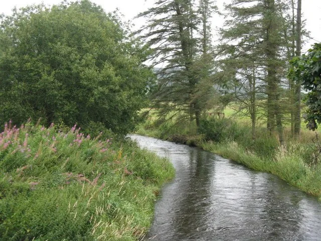
Biggar Water in Scottish Borders
Biggar Water in Scottish Borders is a river. Ⓦ.
- Waterway Type
- river
Image
Roads nearby
Dreva RoadBroughton, Laurel Bank, Dreva Road, Broughton Village Store
900 m
School LanePrimary School
1,7 km
Hawdene1,8 km
Woodilee1,8 km
Springwell Brae1,9 km
Smithy CroftSmithy Croft Shelter, Scott Vehicle Repairs (SVR)
2,0 km
Old Drove Road2,3 km
Abandoned railways nearby
Peebles Branch2,4 km
Talla Railway3,6 km
Body of waters nearby
River Tweed1,1 km
Buildings nearby
Broughton (Strathclyde) Telephone Exchange1,7 km
Quarter House2,8 km
Kilbucho Place2,9 km
Bellspool Cottages3,7 km
Cemeteries nearby
Broughton Graveyard2,3 km
Community centres nearby
Broughton Village Hall2,2 km
Farmyards nearby
Rachan Home Farm600 m
Ratchill Farm1,5 km
Coomlees1,6 km
Wrae Farm1,8 km
Drumelzier Haugh1,9 km
Corstane2,1 km
Burnetland2,7 km
Cardon3,0 km
Parkgatestone3,3 km
Mossfenan3,4 km
Forests nearby
Tomb Plantation500 m
Logan Wood2,1 km
Grass nearby
Muckle Muir Plantation650 m
Industrial areas nearby
Broughton Ales1,8 km
Public toilets nearby
Alexander Park Toilets1,7 km
Quarries nearby
Stobo Slate Quarry3,6 km
Recreation grounds nearby
School Playing Fields1,6 km
Residential areas nearby
Merlindale1,1 km
Manse1,2 km
Ruins nearby
Old Parish Church2,3 km
Streams nearby
Purling Stream600 m
Holms water1,6 km
Ratchill Burn1,9 km
Broughton Burn2,1 km
Drumelzier Burn3,0 km
Hollows burn3,5 km
Woodlands nearby
Deadman's Knowe900 m
The Dene Wood2,8 km
Westhill Wood2,9 km
Duck Pond Plantation3,0 km
Louden Knowe Wood3,2 km
Bleinshope Wood3,7 km
Hog Knowe Wood3,9 km
| Elevation | 189 m |
|---|---|
| Located in | South Lanarkshire |
| Country | United Kingdom |
| Mouth | River Tweed |
 Public transport map Scottish Borders Legend
| Railway | |
| Bus | |
| Tram |
 Cycling map Scottish Borders Legend
| Cycle path | |
| Cycle lane on road | |
| Cycling on bus lane | |
| Bicycle street | |
| Cyclists allowed | |
| Cyclists allowed, good surface | |
| No cycling | |
| Cobblestones |
| Long-distance cycle route | (depending on scale) | |
| Long-distance cycle route |
 Walking map Scottish Borders Legend
| Path |
| Long-distance hiking trail | (depending on scale) | |
| Long-distance hiking trail | ||
| No pedestrians |