
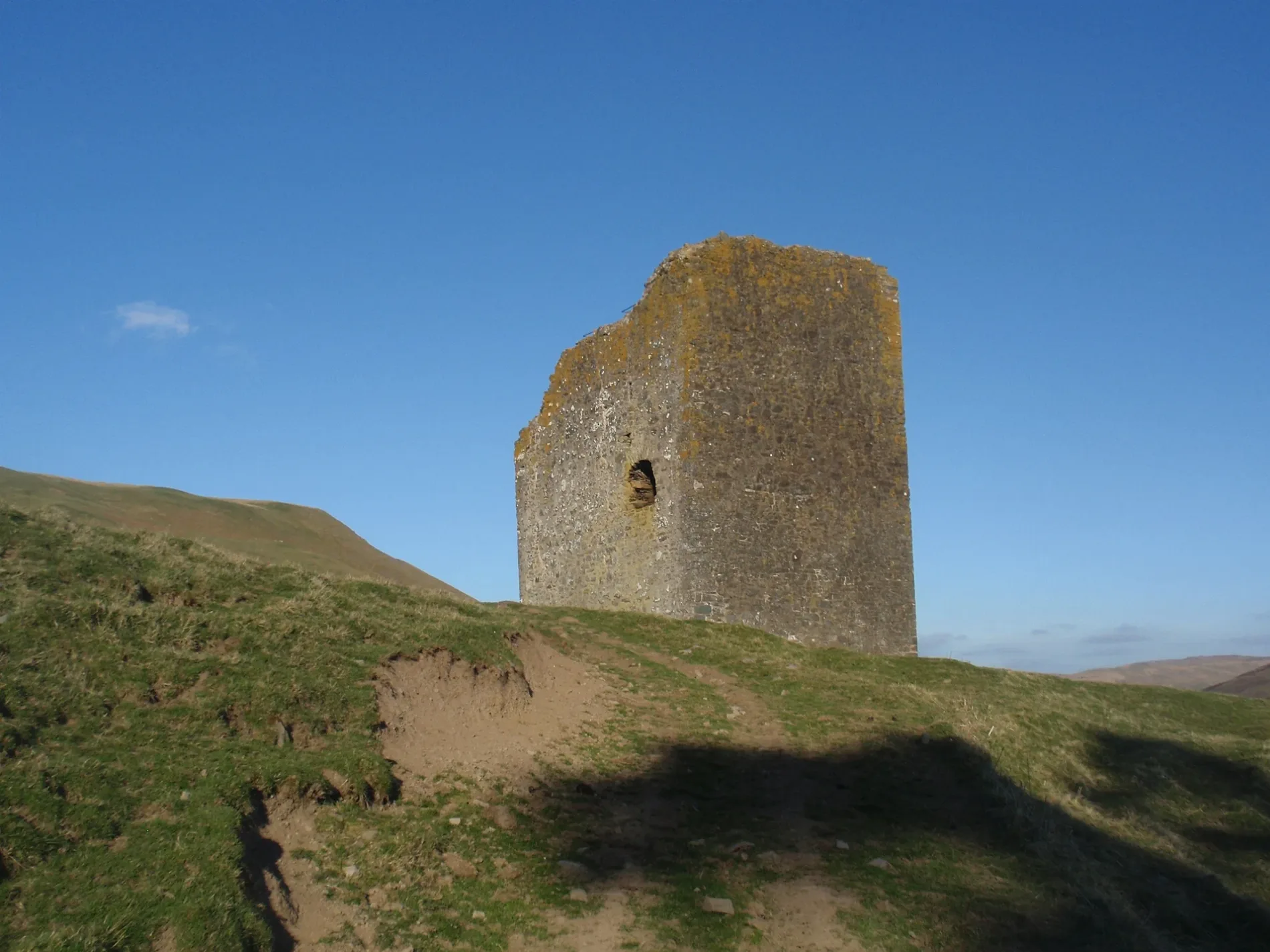
Dryhope Tower in Scottish Borders
Dryhope Tower in Scottish Borders is ruins (listed building, stone). Dryhope Tower is near Captains Road. Ⓦ.
- Building Type
- tower
Image
Barns nearby
Berrybush barn5,1 km
Body of waters nearby
St Mary's Loch4,0 km
Loch of the Lowes5,1 km
Stilling Pond5,8 km
Buildings nearby
Half House Cottage2,9 km
Cappercleuch Telephone Exchange3,0 km
St Mary's Loch Sailing Club4,8 km
Campsite nearby
Tibbie Shiels4,8 km
Dams nearby
Megget Dam6,0 km
Drains nearby
Deep Drain4,9 km
Farmyards nearby
Dryhope250 m
Kirkstead500 m
Henderland3,8 km
Glengaber5,1 km
New Craigierig6,2 km
Guest house nearby
Capperkirk2,9 km
Hotels nearby
Gordon Arms Hotel4,0 km
Houses nearby
Glen Cottage2,9 km
Public buildings nearby
St Mary's Hall2,9 km
Residential areas nearby
Muttonhall4,1 km
Residential buildings nearby
Berrybush Farm Cottage5,1 km
Rivers nearby
Douglas Burn2,7 km
Yarrow Water4,1 km
Megget Water6,0 km
Streams nearby
Dryhope Burn300 m
Kirkstead Burn1,1 km
Hawkshaw Cleuch2,0 km
Willies Grain2,9 km
Hangingshaw Sike3,4 km
Eldinhope Burn3,8 km
Bell Sike4,4 km
Glengaber Burn5,1 km
Glean Dean5,3 km
Black Cleuch5,3 km
Swashens Burn5,4 km
Crosscleuch Burn5,9 km
Birkindale Burn5,9 km
Peat Burn5,9 km
Tushielaw Burn6,0 km
Sundhope Burn6,0 km
Gumscleuch Burn6,1 km
Banks Burn6,4 km
Dead Burn6,6 km
Kirk Burn6,7 km
Newburgh Burn6,8 km
Wolfhope Burn7,0 km
Woodlands nearby
March Wood4,2 km
| Located in | Scottish Borders |
|---|---|
| Country | United Kingdom |
 Public transport map Scottish Borders Legend
 | Railway | |
| Bus | |
| Tram |
 Cycling map Scottish Borders Legend
 | Cycle path | |
| Cycle lane on road | |
| Cycling on bus lane | |
| Bicycle street | |
| Cyclists allowed | |
| Cyclists allowed, good surface | |
| No cycling | |
| Cobblestones |
| Long-distance cycle route | (depending on scale) | |
| Long-distance cycle route |
 Walking map Scottish Borders Legend
 | Path |
| Long-distance hiking trail | (depending on scale) | |
| Long-distance hiking trail | ||
| No pedestrians |