
Stobs in Scottish Borders
Stobs in Scottish Borders is a building. Stobs is also known as Stobs Station. Stobs is near Woodfoot Bridge. Ⓦ.
- Building Type
- building
Image
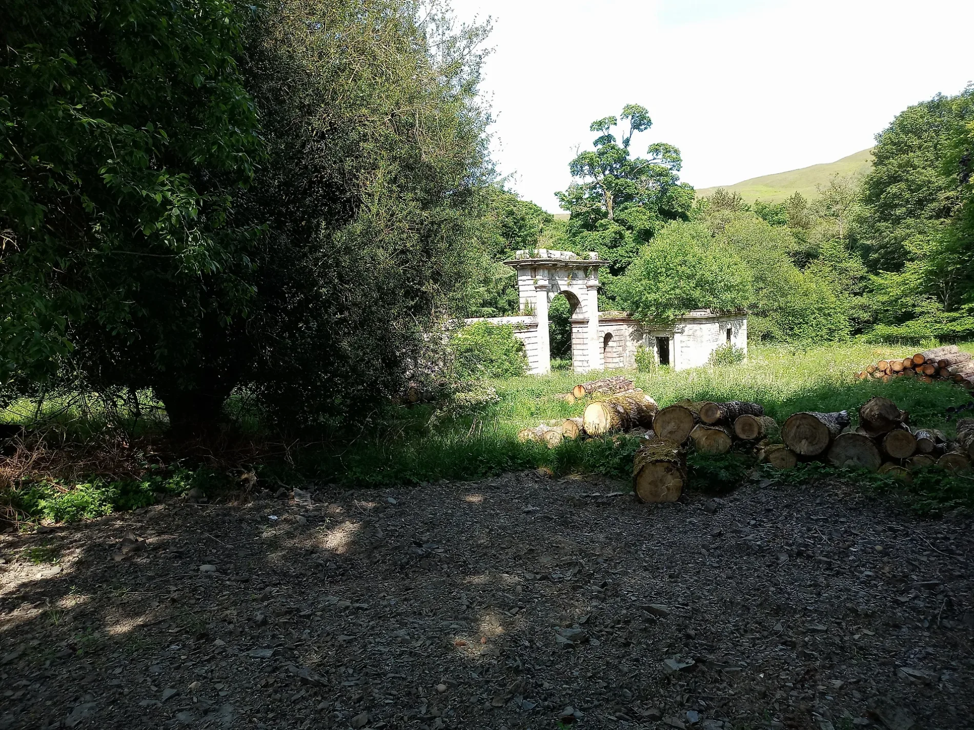
Roads nearby
Woodfoot Bridge400 m
Acreknowe circular1,2 km
Field pathWinnington Moss
1,3 km
Williestruther Loch circuit2,2 km
Nip Knowes3,4 km
Whitlaw Gardens3,6 km
Crowbyres Bridge3,7 km
Liddesdale Crescent3,7 km
Abandoned railways nearby
Barns Viaduct150 m
Edinburgh to Carlisle Line350 m
Body of waters nearby
Acreknowe Reservoir1,3 km
Barnes Loch2,0 km
Williestruther Loch2,3 km
Buildings nearby
Stobs Castle1,0 km
Farmyards nearby
Acreknowe900 m
Adderston Shiels1,4 km
Coliforthill1,9 km
Pilmuir2,2 km
Flex2,7 km
South Berryfell2,9 km
Forests nearby
Barnsburn Plantation100 m
Birk Wood250 m
Stobs Wood1000 m
Acreknowe Strip1,2 km
Cogsmill Wood1,7 km
Kinghorn Woods2,2 km
Fleety Wood2,9 km
Nip Knowes Wood3,3 km
Golf courses nearby
Hawick Golf Course3,6 km
Recreation grounds nearby
Hawick Moor2,8 km
Residential areas nearby
Adderston Shiels Farm Cottages1,2 km
The Bungalow1,4 km
Colislinn House1,6 km
Cogsmill1,7 km
Rivers nearby
Slitrig Water350 m
Streams nearby
Barns Burn850 m
Acreknowe Burn1,6 km
Adderstonshiels Burn1,9 km
Cogsmill Burn1,9 km
Flex Burn2,3 km
Gibby's Sike2,4 km
Gate Burn2,5 km
Tracks nearby
St Leonard's Park2,7 km
Woodlands nearby
Birkwood Strip550 m
Dovecot Knowe1,2 km
Newtonhill Wood1,9 km
Primrose Wood1,9 km
West Moor Plantation2,9 km
Other nearby
Kaim Law3,5 km
| Opening | 1862 |
|---|---|
| Located in | Scottish Borders |
| Country | United Kingdom |
 Public transport map Scottish Borders Legend
 | Railway | |
| Bus | |
| Tram |
 Cycling map Scottish Borders Legend
 | Cycle path | |
| Cycle lane on road | |
| Cycling on bus lane | |
| Bicycle street | |
| Cyclists allowed | |
| Cyclists allowed, good surface | |
| No cycling | |
| Cobblestones |
| Long-distance cycle route | (depending on scale) | |
| Long-distance cycle route |
 Walking map Scottish Borders Legend
 | Path |
| Long-distance hiking trail | (depending on scale) | |
| Long-distance hiking trail | ||
| No pedestrians |