
Image
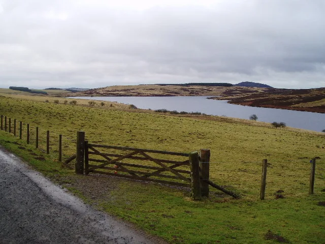
Roads nearby
Manse RoadOblò, Eyemouth Library
2,4 km
Gifford Road2,5 km
Duns RoadLongformacus, Church Street
2,5 km
The RowWestruther
2,5 km
Longformacus HouseLongformacus House
2,9 km
Body of waters nearby
Watch Water Reservoir1,1 km
Buildings nearby
Longformacus Telephone Exchange2,3 km
Dams nearby
Watch Water Dam650 m
Farmyards nearby
Rawburn1,1 km
Scarlaw1,6 km
Muirton3,6 km
Forests nearby
Whinrig Wood950 m
Backhill Wood950 m
Rathburne Wood1,3 km
Whinrig strip1,4 km
Horsepark Plantation1,5 km
Daring Strip1,6 km
Watch Plantation1,7 km
Craigie Wood1,7 km
Manse Wood1,8 km
Glebe Wood2,0 km
Heathery Plantaiton2,1 km
Dourieknowes Plantation2,1 km
Dirrington Wood2,5 km
School Plantaiton2,5 km
Minister's Roundel2,6 km
Townhead Plantation2,9 km
North Bank Wood2,9 km
Curlingpond Strip3,0 km
Twiggys Belt3,2 km
Haddington Covert3,3 km
Bindys Wood3,3 km
Silver Jubilee3,7 km
Hall Plantation3,7 km
Industrial areas nearby
WTW1,2 km
Places of worship nearby
Longformacus Kirk2,7 km
Residential areas nearby
Longwing Cottage1,1 km
Rawburn Cottage1,6 km
Comfortlee3,5 km
Residential buildings nearby
Rathburne House1,6 km
The Lodge2,6 km
Rivers nearby
Dye Water1,2 km
Streams nearby
Wester Burn2,5 km
Kippetlaw Burn3,2 km
Edgar Burn3,9 km
Theatres nearby
Venue Longformacus2,6 km
Woodlands nearby
South Bank Wood2,6 km
Willie's Acre2,6 km
Meg's Plantation3,0 km
| Located in | Scottish Borders |
|---|---|
| Country | United Kingdom |
| Mouth | Dye Water |
 Public transport map Scottish Borders Legend
| Railway | |
| Bus | |
| Tram |
 Cycling map Scottish Borders Legend
| Cycle path | |
| Cycle lane on road | |
| Cycling on bus lane | |
| Bicycle street | |
| Cyclists allowed | |
| Cyclists allowed, good surface | |
| No cycling | |
| Cobblestones |
| Long-distance cycle route | (depending on scale) | |
| Long-distance cycle route |
 Walking map Scottish Borders Legend
| Path |
| Long-distance hiking trail | (depending on scale) | |
| Long-distance hiking trail | ||
| No pedestrians |