
Image
Roads nearby
Strom Bridge1,5 km
Clach Na Strom1,9 km
KallinessRobertson & Morrison, Robertson and Morrison
3,0 km
KallibrigTourist Information Centre, Shetland Jewellery
3,2 km
South Whiteness RoadWhiteness, South Whiteness
3,2 km
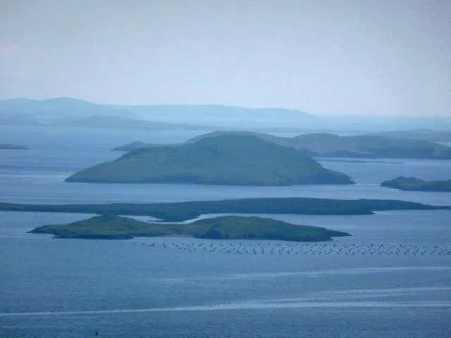
Nature nearby
Flotta1,1 km
Burra holm1,6 km
Junk1,9 km
Castle Holm1,9 km
Hoggs of Hoy2,0 km
Holms of Hogaland2,0 km
Hoy2,4 km
Holm of Quoyness2,6 km
Hoove holm2,7 km
Otter holm2,7 km
Cure holm2,9 km
Kirka skerry3,4 km
Fore Holm3,4 km
Kirk holm4,1 km
North Havra4,4 km
North Score holm4,6 km
Easter Score Holm4,6 km
Body of waters nearby
Vadill2,0 km
Loch of Hellister3,6 km
North Water of Wormadale3,7 km
South Water of Wormadale3,7 km
Loch of Hamarsland3,7 km
Whirls Water3,7 km
Broo Loch4,0 km
Loch of Ustanoss4,1 km
Loch of Griesta4,6 km
Buildings nearby
Andersons1,5 km
Cemeteries nearby
Whiteness New Cemetery2,1 km
Whiteness Cemetery2,8 km
Houses nearby
Camperdown1,6 km
Solheim1,6 km
Kyendigaet1,6 km
Innvik1,7 km
Hubrake1,7 km
Brecks1,8 km
Straits nearby
Sound of Flotta1000 m
Hogg Sound2,1 km
Sound of Hoy2,3 km
Sound of Havra4,4 km
Streams nearby
Dale Burn2,2 km
Burn of Wormadale2,4 km
Burn of Tresta3,8 km
Burn of Rock4,1 km
Burn of Tactigill4,5 km
| Located in | Shetland Islands |
|---|---|
| Country | United Kingdom |
 Public transport map Shetland Islands Legend
| Railway | |
| Bus | |
| Tram |
 Cycling map Shetland Islands Legend
| Cycle path | |
| Cycle lane on road | |
| Cycling on bus lane | |
| Bicycle street | |
| Cyclists allowed | |
| Cyclists allowed, good surface | |
| No cycling | |
| Cobblestones |
| Long-distance cycle route | (depending on scale) | |
| Long-distance cycle route |
 Walking map Shetland Islands Legend
| Path |
| Long-distance hiking trail | (depending on scale) | |
| Long-distance hiking trail | ||
| No pedestrians |