
Image
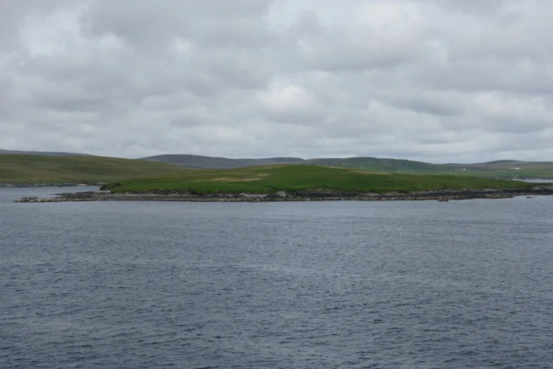
Roads nearby
Brough RoadBrough, Burravoe
3,1 km
Meadow Bank Road3,2 km
Meadowbank Road3,2 km
Brunthill Road3,4 km
Ferry View3,7 km
Nature nearby
The Rumble1,5 km
Green Holm2,4 km
Samphrey2,9 km
Fish Holm3,5 km
Body of waters nearby
Mussel Loch2,3 km
Loch of Littlester2,9 km
Loch of Vatswick3,6 km
Loch of Ulsta4,1 km
Buildings nearby
Burravoe Telephone Exchange3,2 km
Loch Of Kettlester, Broch3,4 km
Sea Breeze3,4 km
Campsite nearby
Burravoe Pier Trust Campsite3,7 km
Churches nearby
St Colman's Church3,4 km
Houses nearby
Park Cottage3,2 km
Kersehill3,2 km
Chapel House3,3 km
Alderwood3,3 km
The Parsonage3,3 km
Kirkbrae3,4 km
Fairview3,4 km
Hame Haven3,4 km
Upper Bruntall3,4 km
1 Ferry View3,7 km
3 Ferry View3,7 km
2 Ferry View3,7 km
School House3,7 km
Seaview3,7 km
Whinnerhoull3,8 km
The Chalet3,9 km
Kvernardaal3,9 km
Museum nearby
Old Haa Museum3,2 km
Places of worship nearby
St. Magnus Church2,8 km
Ridges nearby
Hill of Ulsta2,7 km
School buildings nearby
Burravoe Primary School3,4 km
Straits nearby
Sound of Orfasay550 m
Sound of Brough2,4 km
Greenholm Sound2,6 km
Streams nearby
Saidlas Burn3,0 km
Burn of Brough3,1 km
Burn of Evrawater3,5 km
Little Burn3,5 km
Burn of Kettlestar3,6 km
Burn of Ulstra3,7 km
Burn of Neepaback3,7 km
| Located in | Shetland Islands |
|---|---|
| Country | United Kingdom |
| Body of water | Atlantic Ocean |
| Part of | Shetland Islands |
 Public transport map Shetland Islands Legend
| Railway | |
| Bus | |
| Tram |
 Cycling map Shetland Islands Legend
| Cycle path | |
| Cycle lane on road | |
| Cycling on bus lane | |
| Bicycle street | |
| Cyclists allowed | |
| Cyclists allowed, good surface | |
| No cycling | |
| Cobblestones |
| Long-distance cycle route | (depending on scale) | |
| Long-distance cycle route |
 Walking map Shetland Islands Legend
| Path |
| Long-distance hiking trail | (depending on scale) | |
| Long-distance hiking trail | ||
| No pedestrians |