
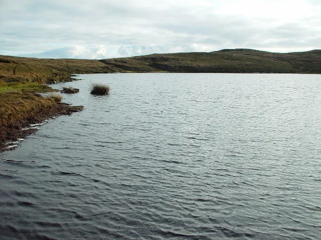
Loch of Stanefield in Whalsay
Loch of Stanefield in Shetland Islands, Whalsay is a body of water. Ⓦ.
- Nature
- body of water
Image
Campsite
Colleges
Roads nearby
Stepping Stones650 m
Tripwell1,5 km
NorrendalNorrendal
1,8 km
North Gardentown2,0 km
HarlsdaleSymbister Post Office
2,5 km
Nature nearby
Whalsay2,2 km
Skeo of Holm3,4 km
West Linga3,7 km
Ketill Holm4,0 km
Calf of Little Linga4,1 km
Bruse Holm4,3 km
Little Linga4,3 km
Beilla Skerry4,4 km
Ibister Holm4,4 km
Longa Skerry4,6 km
Rumble5,1 km
Muckle Fladdicap5,1 km
Attraction nearby
Hanseatic Trading Booth2,5 km
Bars nearby
Whalsay Boating Club2,8 km
Body of waters nearby
Nukro Water600 m
Little Water650 m
Loch of Houll700 m
Loch of Livister700 m
Loch of Ibister1,8 km
Bu Water (Reservoir)2,0 km
Loch of Vats-Houll2,5 km
Loch of Sandwick2,9 km
West Loch of Skaw3,2 km
Muckle Loch of Linga3,2 km
Little Loch of Linga3,4 km
East Loch of Skaw4,5 km
Buildings nearby
Salmon Nursery1,3 km
Water Treatment Works1,8 km
Suther Ness Lighthouse2,3 km
Symbister Telephone Exchange2,5 km
Club House4,5 km
Community centres nearby
Symbister Hall2,4 km
Dances nearby
Isbister Hall1,3 km
Places of worship nearby
Symbister Kirk2,1 km
Pubs nearby
Oot-Ower Lounge1,1 km
Sports centres nearby
Whalsay Leisure Centre2,1 km
Straits nearby
Linga Sound2,6 km
Supermarkets nearby
Grocery Outlet2,5 km
Other nearby
Huxter1,1 km
Isbister1,3 km
Brough1,5 km
Creadyknowe1,7 km
Vaivoe3,4 km
Whalsay Airstrip4,4 km
| Located in | Shetland Islands |
|---|---|
| Country | United Kingdom |
 Public transport map Whalsay Legend
| Railway | |
| Bus | |
| Tram |
 Cycling map Whalsay Legend
| Cycle path | |
| Cycle lane on road | |
| Cycling on bus lane | |
| Bicycle street | |
| Cyclists allowed | |
| Cyclists allowed, good surface | |
| No cycling | |
| Cobblestones |
| Long-distance cycle route | (depending on scale) | |
| Long-distance cycle route |
 Walking map Whalsay Legend
| Path |
| Long-distance hiking trail | (depending on scale) | |
| Long-distance hiking trail | ||
| No pedestrians |