
Avon Bridge in South Lanarkshire
Avon Bridge in South Lanarkshire is a lit main road. It runs in a southeast-northwest direction starting from Carlisle Road and ends at Carlisle Road. Avon Bridge is also known as Avon Bridge, Avon Water, Carlisle Road, Hamilton. This road is part of the long-distance roads Clyde Valley Tourist Route and A72. Ⓦ.
- Road Type
- main road
- Speed Limit
- 30 mph
- Route
- southeast-northwest
Image
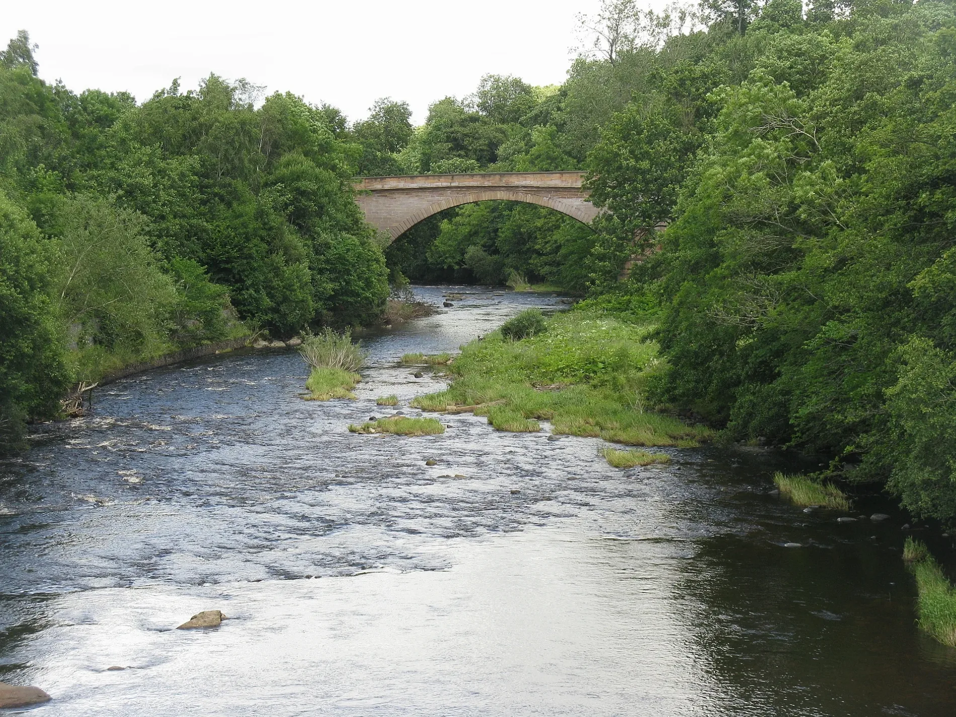
Stations
- bus lines 253
Charging stations
Bed shops
Bus stops
- bus lines 253
Pubs
Artwork
Bar
Platforms
- bus lines 253
Public toilet
Roads nearby
Brigside Gardens150 m
Carlisle RoadOld Avon Road, Merrton Road, Cairnhouses, Crawford, Bellstane Avenue, Angus Avenue, The Milano Bar, Barncluith, Birks Road, Borland Drive, Robert Smillie Crescent, Middleton Avenue, Shaws Road, John Place, Glenavon Pub, Lidl, Kirkmuirhill Parish Church, JET, Lochanbank Drive, Park Street, Chatelherault Inn, Chatelherault Country Park, Isabella Gardens, Avon Bridge, Abington General Stores, Abington, Millennium Milepost Coalburn, Canderside Toll, Draffan Road, Fyne Crescent
150 m
Old Avon Bridge250 m
Old Avon Road250 m
Smithy Croft300 m
Duchess Court300 m
Baron Court300 m
Barncluith Avenue300 m
Covan BridgeLaverlock Avenue
350 m
Alexander Gardens350 m
Chateau Grove400 m
Laverock Avenue400 m
Cooper Gardens450 m
Regency Court450 m
Hunting Lodge Gardens500 m
Wallace Place500 m
Cooper CrescentHaughhead Junction
500 m
Worrall Gardens500 m
Royal Drive550 m
Fergus Gardens550 m
Angus Avenue550 m
Barncluith Road650 m
Castlehill CrescentAllanton
650 m
Avonbridge Drive650 m
Lilac Hill800 m
Abercorn Drive850 m
Landsdowne Gardens850 m
Cheviot Road850 m
Barncluith Court850 m
Avonside Grove900 m
Sycamore Drive900 m
Millerfield Place950 m
Anne's Mew950 m
Miller StreetThe Original Factory Shop
950 m
Motherwell RoadFastned Palace Grounds
1000 m
Staneacre Park1000 m
Keith StreetHemingways, Corner Chippy, Keith St before Palace Grounds Rd, Hamilton Palace, Next, Bar Zero
1,1 km
Body of waters nearby
Avon Water900 m
Buildings nearby
Hamilton Monument750 m
Commercial areas nearby
Barncluith Business Centre800 m
Hotels nearby
The Priory700 m
Avonbridge Hotel700 m
Kirkland750 m
Houses nearby
Staneacre House1000 m
Parks nearby
South Haugh650 m
Railway lines nearby
Hamilton Circle Line250 m
Larkhall Branch500 m
Streams nearby
Covan Burn350 m
Clauds Burn850 m
| Inception | 1825 |
|---|---|
| Located in | South Lanarkshire, Hamilton |
| Country | United Kingdom |
| Crosses | Avon Water |
| Carries thoroughfare | A72 road, A74 road |
| Location | Hamilton |
 Public transport map South Lanarkshire Legend
| Railway | |
| Bus | |
| Tram |
 Cycling map South Lanarkshire Legend
| Cycle path | |
| Cycle lane on road | |
| Cycling on bus lane | |
| Bicycle street | |
| Cyclists allowed | |
| Cyclists allowed, good surface | |
| No cycling | |
| Cobblestones |
| Long-distance cycle route | (depending on scale) | |
| Long-distance cycle route |
 Walking map South Lanarkshire Legend
| Path |
| Long-distance hiking trail | (depending on scale) | |
| Long-distance hiking trail | ||
| No pedestrians |