
Old Flatt Bridge in South Lanarkshire
Old Flatt Bridge in South Lanarkshire is a footpath. It runs in a north-south direction and ends in a cul-de-sac. Old Flatt Bridge is also known as Flat Bridge.
- Road Type
- footpath
- Route
- north-south
Image
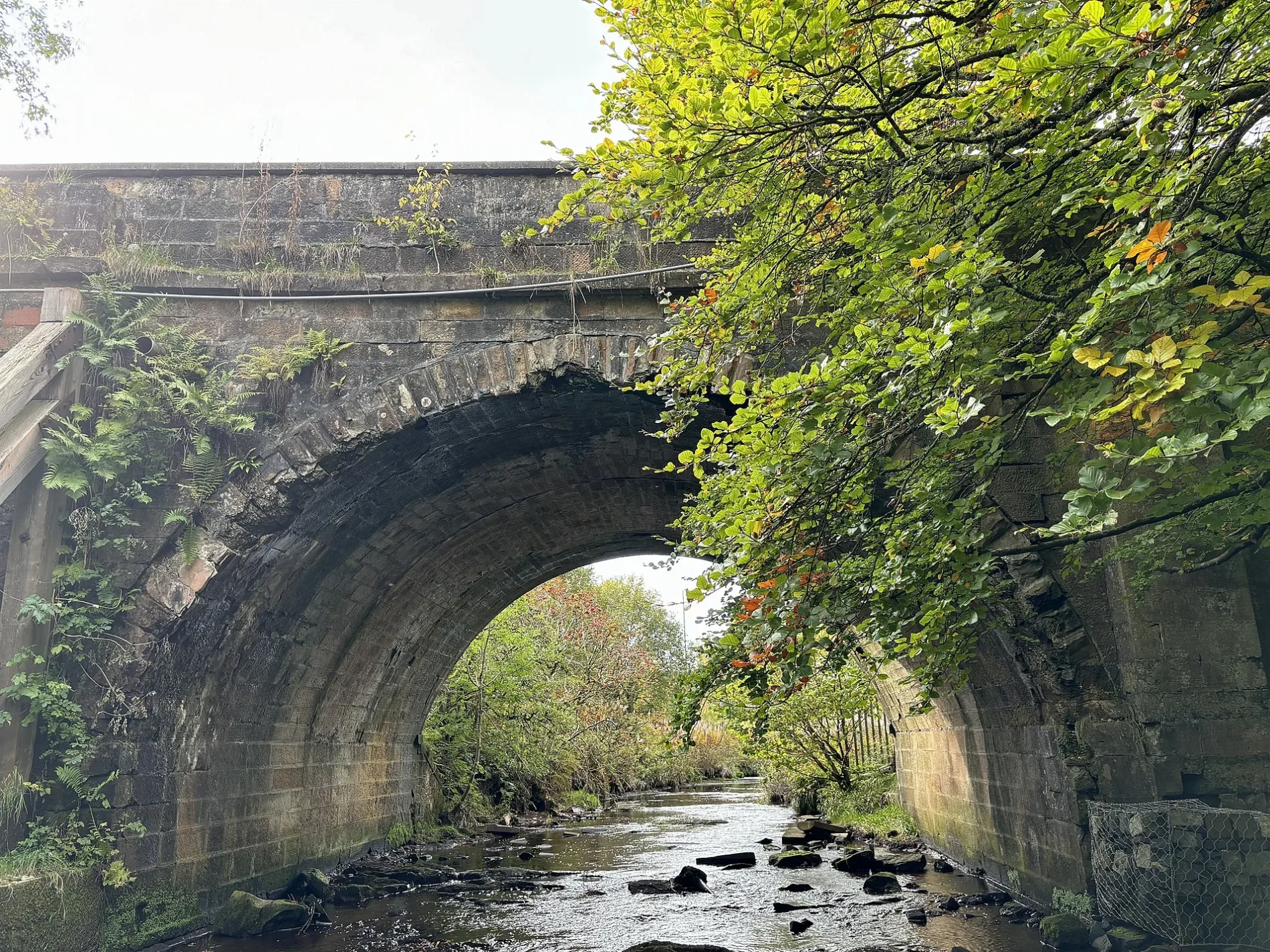
Attraction
Cafés
Bus stops
Roads nearby
New Flatt Bridge200 m
Torrance Lane300 m
DISUSED Former Strathaven Road350 m
Torrance Court400 m
Torrance GaitTorrance
450 m
Kelvin Park South500 m
Crutherland Farm Road500 m
Hurlawcrook Drive550 m
Torrance Roundabout550 m
Torrance Wynd550 m
Strathaven RoadMount Cameron Drive South, Clamps Wood, Lesmahagow Road, High Park Crescent, Galloway Avenue, Chriss Avenue, Esso, Birniehill Roundabout, Teilglum Road, Teilglum road, Milton, Nethan Vale Terrace, Sutherland Avenue, Caledonian Avenue, Bent, Limekilnburn, Udstonhead, Irvine Terrace, Newlands Drive, Annsfield Road, Calderglen Country Park, Deadwaters
600 m
Torrance Avenue650 m
Greenhills RoadHurlawcrook Road, Langlands, Stroud Road, Mulberry Drive, Tony2Go, Marinis, Lickprivick Road, Crosshouse Road, Greenhills Road, Mossneuk Avenue, Borthwick Drive, Millburn Way, Eden Drive, Newlandsmuir Road, Lonsdale Farm, Ice Lab, 1302 Hair Design
700 m
Hurlawcrook Place750 m
Bessemer Drive900 m
Langlands AvenueKelvin Sculpture, Kelvin South Business Park
950 m
Manson Place1000 m
Young Place1000 m
South Bridge1,1 km
Colvilles Park1,1 km
Tor TrailTorrance Linn
1,2 km
The South Trail1,2 km
Colvilles RoadKelvin Industrial (North)
1,2 km
Colvilles Place1,3 km
Buildings nearby
Alliance1,0 km
Allotment gardens nearby
Allotments & Raised Beds (EKDT)1,1 km
Buildings nearby
Calderstone House350 m
Ellsworth Adhesives Europe950 m
Parkhead (store)950 m
Torrance House1,3 km
Ranger Station (Former Estate Offices)1,3 km
East Kilbride Sports Club (Calderglen)1,3 km
Preserved EK Dev. Corp. Workshop1,3 km
Bunkers nearby
Former Regional Control Nuclear Bunker1,1 km
Farmhouses nearby
East Flatt250 m
Langlands Farm650 m
Gardens nearby
Peace Garden1,3 km
Golf courses nearby
Torrance House Golf Club500 m
Greenhouses nearby
Calderglen Conservatory1,3 km
Hotels nearby
Crutherland House Hotel550 m
Houses nearby
Crutherland Lodge100 m
Dilmun200 m
Playgrounds nearby
New Adventure Playground1,4 km
Pubs nearby
New Farm800 m
Recreation grounds nearby
K Park Training Academy1,3 km
Rivers nearby
Calder Water350 m
Streams nearby
Greenloan Burn1,1 km
Warehouses nearby
Sainsbury's RRU600 m
Zoo nearby
Calderglen Zoo1,3 km
| Heritage designation | category C listed building |
|---|---|
| Located in | South Lanarkshire, East Kilbride |
| Country | United Kingdom |
| Crosses | Calder Water |
| Carries thoroughfare | footpath, road |
 Public transport map South Lanarkshire Legend
| Railway | |
| Bus | |
| Tram |
 Cycling map South Lanarkshire Legend
| Cycle path | |
| Cycle lane on road | |
| Cycling on bus lane | |
| Bicycle street | |
| Cyclists allowed | |
| Cyclists allowed, good surface | |
| No cycling | |
| Cobblestones |
| Long-distance cycle route | (depending on scale) | |
| Long-distance cycle route |
 Walking map South Lanarkshire Legend
| Path |
| Long-distance hiking trail | (depending on scale) | |
| Long-distance hiking trail | ||
| No pedestrians |