
Rosebank Avenue in South Lanarkshire
Rosebank Avenue in South Lanarkshire is a lit residential street. It runs in an east-west direction starting from Station Road and crosses Toward Court. It ends in a cul-de-sac. Rosebank Avenue also exists in East Dunbartonshire.
- Road Type
- residential street
- Route
- east-west
Image
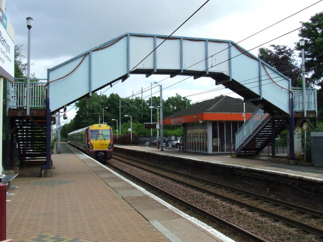
Platforms
Fountains
Gift shops
Kindergarten
Funeral directors
Bus stops
Roads nearby
Toward Court100 m
Caskie Drive150 m
Station GateBlantyre
200 m
Fagan Court200 m
Village Gardens250 m
Knightswood Terrace250 m
Woodburn Avenue250 m
Monteith Place250 m
Beecroft Place300 m
Viewfield Avenue300 m
Wallace Place350 m
Kerr Street350 m
Bruce Terrace350 m
Winning Court400 m
Ennisfree Road400 m
Station RoadAbington Fire Station, Oakbank, Uddingston, Skinny coffee house, Smith's, Viewfield Avenue, Anderson Gardens, Village Bar, Aspire Convenience Store, Armac Vets, Lesmahagow Police Station, Park Lane, Stonefield Park Gardens, Stance 1, Hamilton Central, The World Fountain, David Livingstone Shop, Nad's Store, Law Junction, Muirhead Drive, Buchanan Drive, Brackenhill Road, Shawfield Crescent, Law Post Office, J & H Cairns, Carluke
450 m
Mason Gardens450 m
John StreetMachanhill View, Church street, Corn Exchange
450 m
Ness Drive500 m
Daly Gardens500 m
Park Lane500 m
Livingstone CrescentStanley Place
550 m
Thornhill Avenue550 m
Stanley Place550 m
Farm RoadCowan Wilson Avenue, Gordon Road, Farm Terrace, Waverley street, Udston Road, Hillhouse Post Office, Day Today
550 m
David Livingstone Footbridge550 m
Manus Duddy Court600 m
Stonefield Park Gardens600 m
Moffat Place600 m
Joanna Terrace650 m
Neil Gordon Gate650 m
Cameron Way650 m
Myrtle Street650 m
Crawford Crescent700 m
Hillview Drive750 m
Straiton Place750 m
Mayberry Place750 m
Royal Gardens750 m
Convenience stores nearby
A.A Superstore450 m
Currency exchanges nearby
Glen Travel700 m
Houses nearby
Blantyre Hydroelectric Scheme400 m
Counting House500 m
Prespetry650 m
Museum nearby
David Livingstone Museum500 m
Parks nearby
Livingstone Memorial Park400 m
McAnulty Park650 m
Playgrounds nearby
Natural Outdoor Play Area550 m
Railway lines nearby
Hamilton Circle Line350 m
Sports centres nearby
Blantyre Leisure Centre600 m
Public transport map South Lanarkshire Legend
| Railway | |
| Bus | |
| Tram |
Cycling map South Lanarkshire Legend
| Cycle path | |
| Cycle lane on road | |
| Cycling on bus lane | |
| Bicycle street | |
| Cyclists allowed | |
| Cyclists allowed, good surface | |
| No cycling | |
| Cobblestones |
| Long-distance cycle route | (depending on scale) | |
| Long-distance cycle route |
Walking map South Lanarkshire Legend
| Path |
| Long-distance hiking trail | (depending on scale) | |
| Long-distance hiking trail | ||
| No pedestrians |