
Ravens Brae in West Lothian
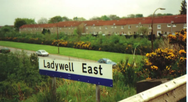
Ravens Brae in West Lothian is a lit residential street. It runs in a southeast-northwest direction starting from Ladywell East Road and crosses Osprey Brae.
- Road Type
- residential street
- Speed Limit
- 30 mph
- Route
- southeast-northwest
Image
Cafés
Artwork
Restaurants
Bus stops
Fast food restaurants
Pharmacy
Convenience stores
Kindergarten
Funeral directors
Roads nearby
Briarbank100 m
Cousland Road100 m
Burnbank150 m
Osprey Brae150 m
Eagle Brae200 m
Alderbank200 m
Howden West RoadSt Johns Hospital
200 m
Gowanbank250 m
Heatherbank250 m
Hospital PathCedarbank School, The Community
350 m
Saint Johns CourtSt Johns Hospital, Rowlands Pharmacy
350 m
Larchbank350 m
Falcon Brae350 m
Ladywell East RoadWillowbank, Angel, Park and Ride, Fernbank, Eagle Brae
350 m
Cedarbank400 m
Bancroft Avenue450 m
Curlew Brae450 m
Peel PathEliburn Nursery Class
450 m
Howden East RoadToronto Avenue, Labrador Avenue, Florum Cultura, Calgary Avenue, Fergus Avenue
450 m
Howley Avenue500 m
Lochbank500 m
Cloverbank550 m
Mossbank550 m
FernbankKrishma
550 m
Plover Brae600 m
Piriebank600 m
Meadowbank600 m
Rushbank700 m
Pinebank700 m
Willowbank700 m
Apartment buildings nearby
Pentland Court250 m
Buildings nearby
Indigo sun100 m
Eagle Brae Livingston150 m
Kingfisher Brae500 m
Livingston Bridge Telephone Exchange700 m
Convenience stores nearby
Shell Select150 m
Co-op Food250 m
Lifestyle Express600 m
Fast food restaurants nearby
Marini's50 m
Kindergartens nearby
Ladywell Nursery School600 m
Ladywell Nursery600 m
Parks nearby
Heatherbank Park500 m
Pharmacies nearby
Ladywell Pharmacy550 m
Places of worship nearby
Livingston Baptist Church400 m
Post offices nearby
Ladywell Post Office600 m
Restaurants nearby
Don Pollo Peri Peri250 m
Sports centres nearby
M C Fitness Solutions250 m
Tattoo studios nearby
Republic600 m
Woodlands nearby
Newyearfield Wood500 m
 Public transport map West Lothian Legend
 | Railway | |
| Bus | |
| Tram |
 Cycling map West Lothian Legend
 | Cycle path | |
| Cycle lane on road | |
| Cycling on bus lane | |
| Bicycle street | |
| Cyclists allowed | |
| Cyclists allowed, good surface | |
| No cycling | |
| Cobblestones |
| Long-distance cycle route | (depending on scale) | |
| Long-distance cycle route |
 Walking map West Lothian Legend
 | Path |
| Long-distance hiking trail | (depending on scale) | |
| Long-distance hiking trail | ||
| No pedestrians |